The Ken Ausburn trail is a short CBD trail that offers plenty of options to extend for a longer hike or stay with the shorter trail to enjoy all it’s health benefits, views, history, art and wildlife. Best part – it’s close to town, a clear defined trail and wide enough to handle a few people too.
The path maybe a little rough, muddy and steep in places so ensure you wear appropriate footwear and you are reasonably fit.
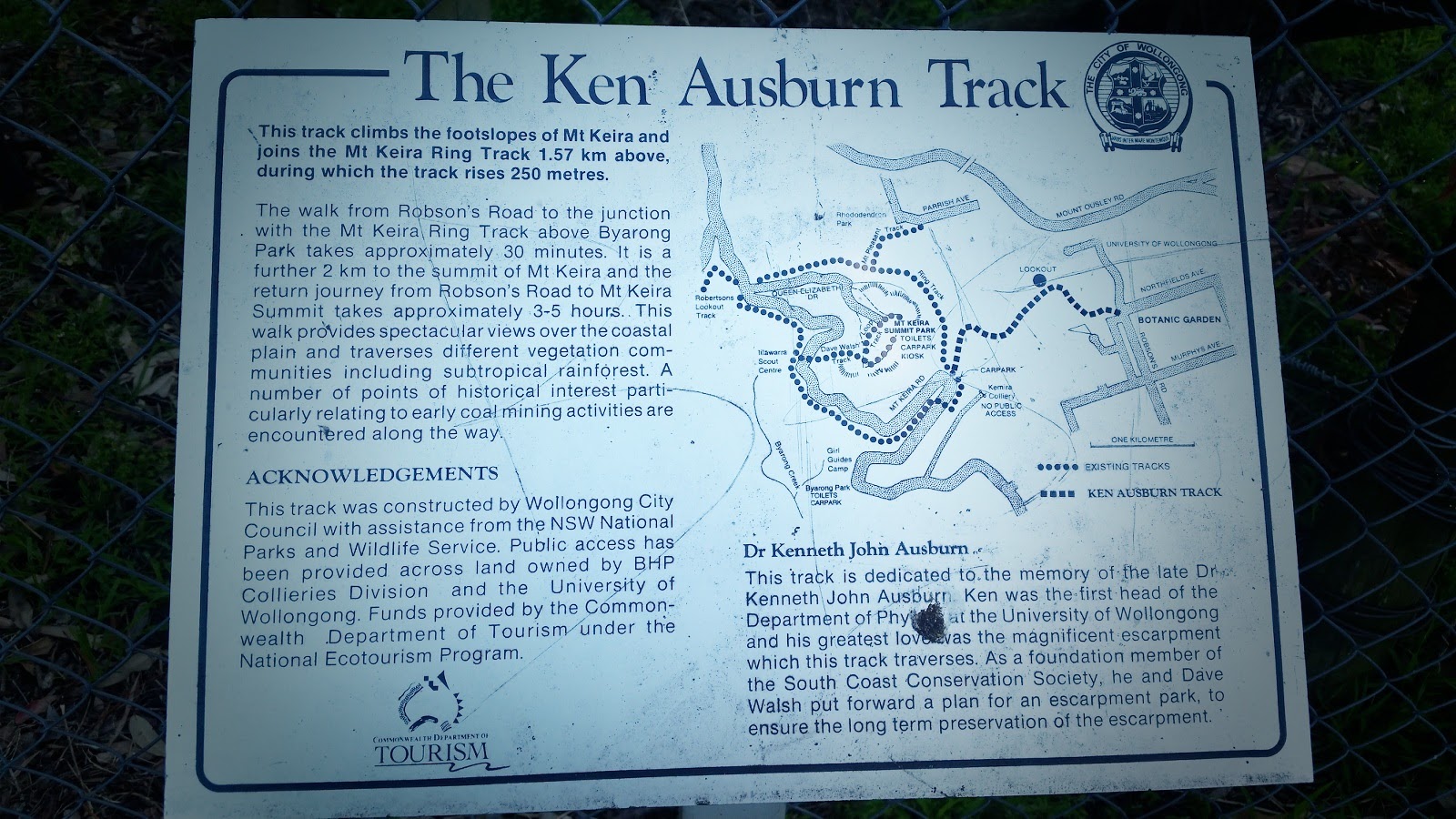
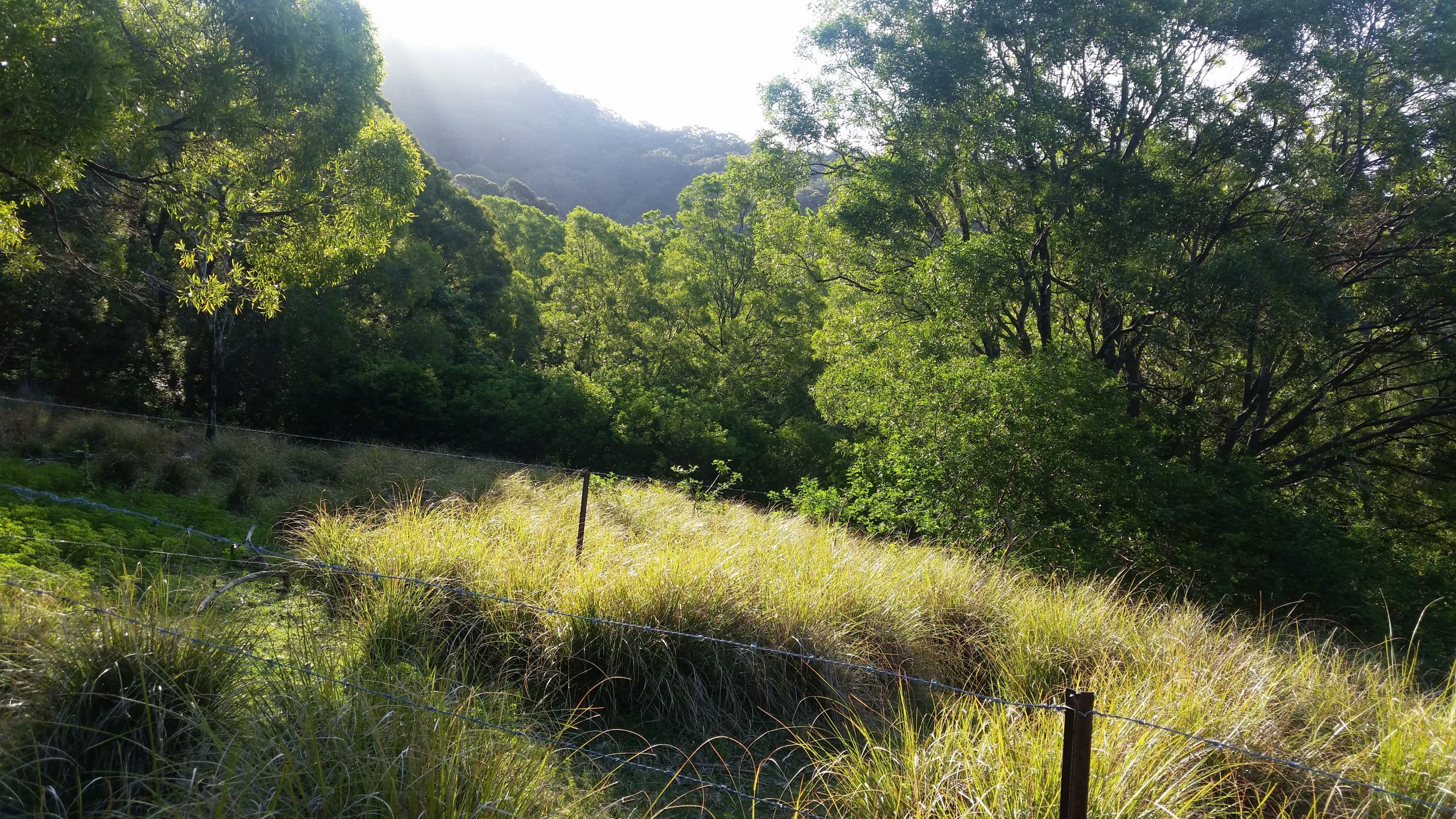
This walk is part of a suite of walks in the Mt Keira area, and is easily accessible at the end of arguably Wollongong’s busiest roundabouts on Robson Road and Northfields Ave – the hub of Wollongong University. Parking is exceptional on weekends but mid-week you are going to contend with the Uni crowd, so early starts are a must. Also note parking signage and restrictions in the area. The name of this walk – as the sign shows as the trail head – was after the late Kenneth John Ausburn, the first head of the Department of Physics at the UOW, and avid nature lover. The trail starts you off through a wire fence and past the back of houses to start the trail.
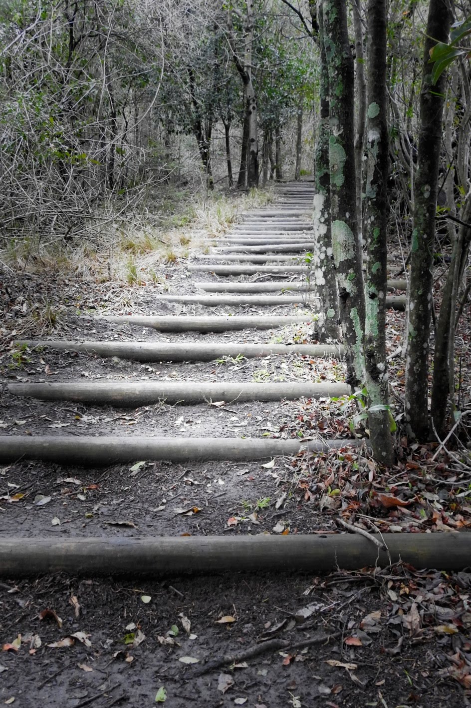
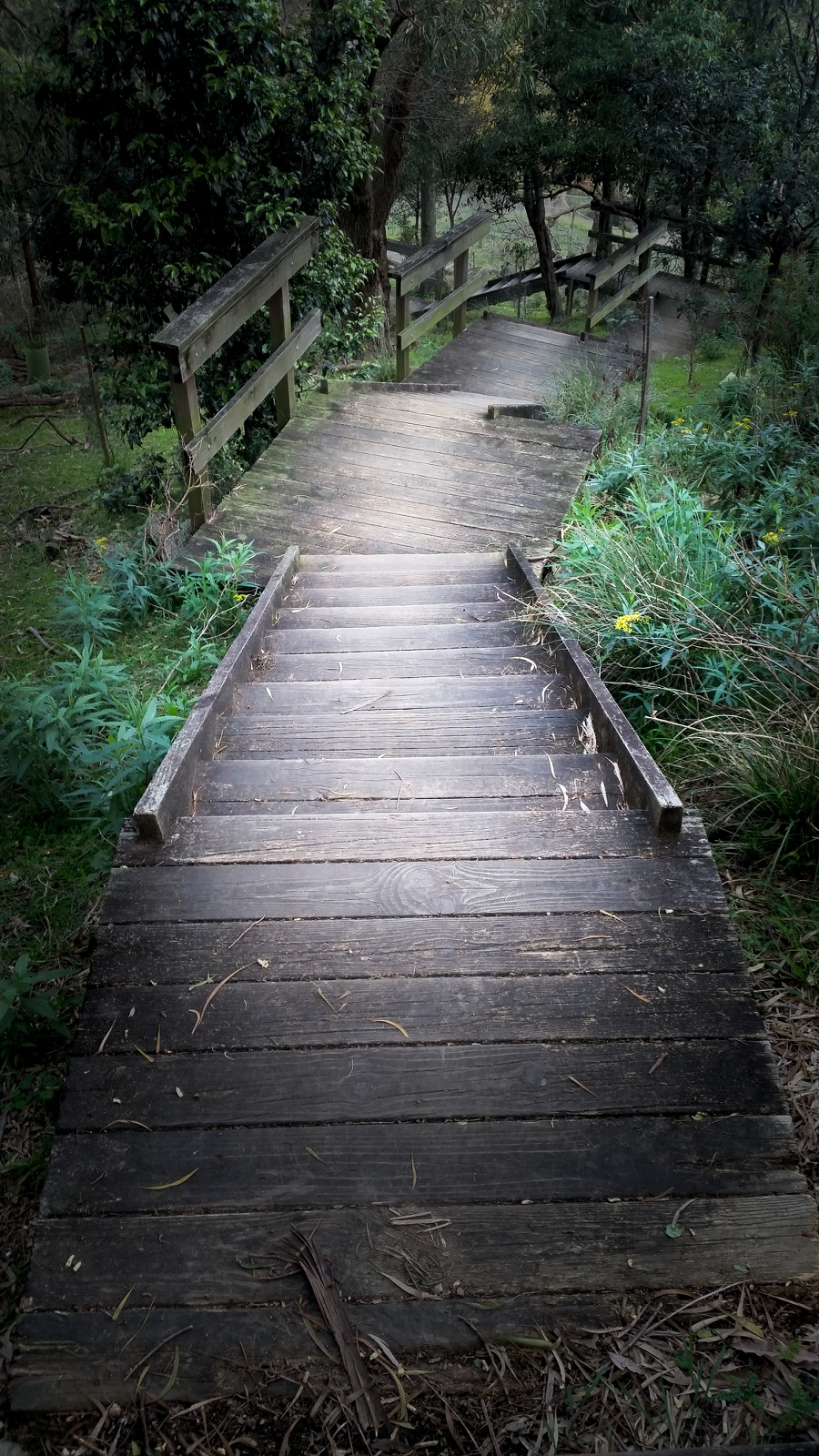
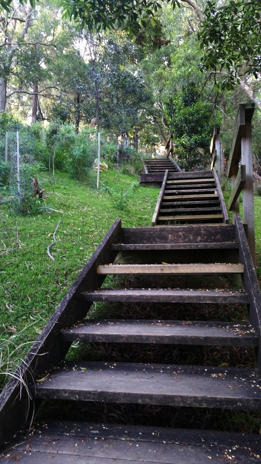
A few metres in, and the elevation starts, straight into up a grass hill which leads under large trees, then onto a paved path. At this stage, expect to have totally underestimated that hill and you likely just regrettably spotted the extensive wooden staircase ahead too!
The walk up to this stage, is not very pretty, let’s be honest… there’s Lantana, backs of houses (yes, you are in an urban area – so have some respect for the residents and keep it quiet early in the morning etc.) but are you feeling the burn yet? Thankfully the wonderful people who built the stairs included some small seats and viewing platforms to check out the Southern views – you might stop to check the view or recover, no ones judging here!
Depending on your goal on the Ken Ausburn Trail, this large staircase is a terrific training option, certainly run them 5 or so times if you really want to ramp up your workout. They are steady and wide so perfect. Or just crawl up them once, again – no one is judging!
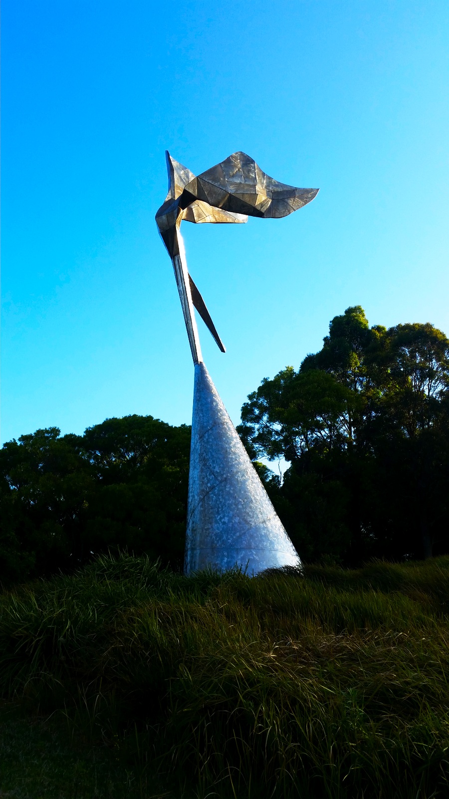
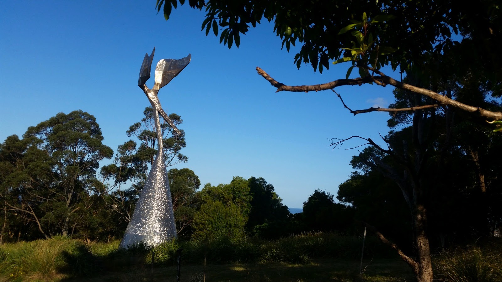
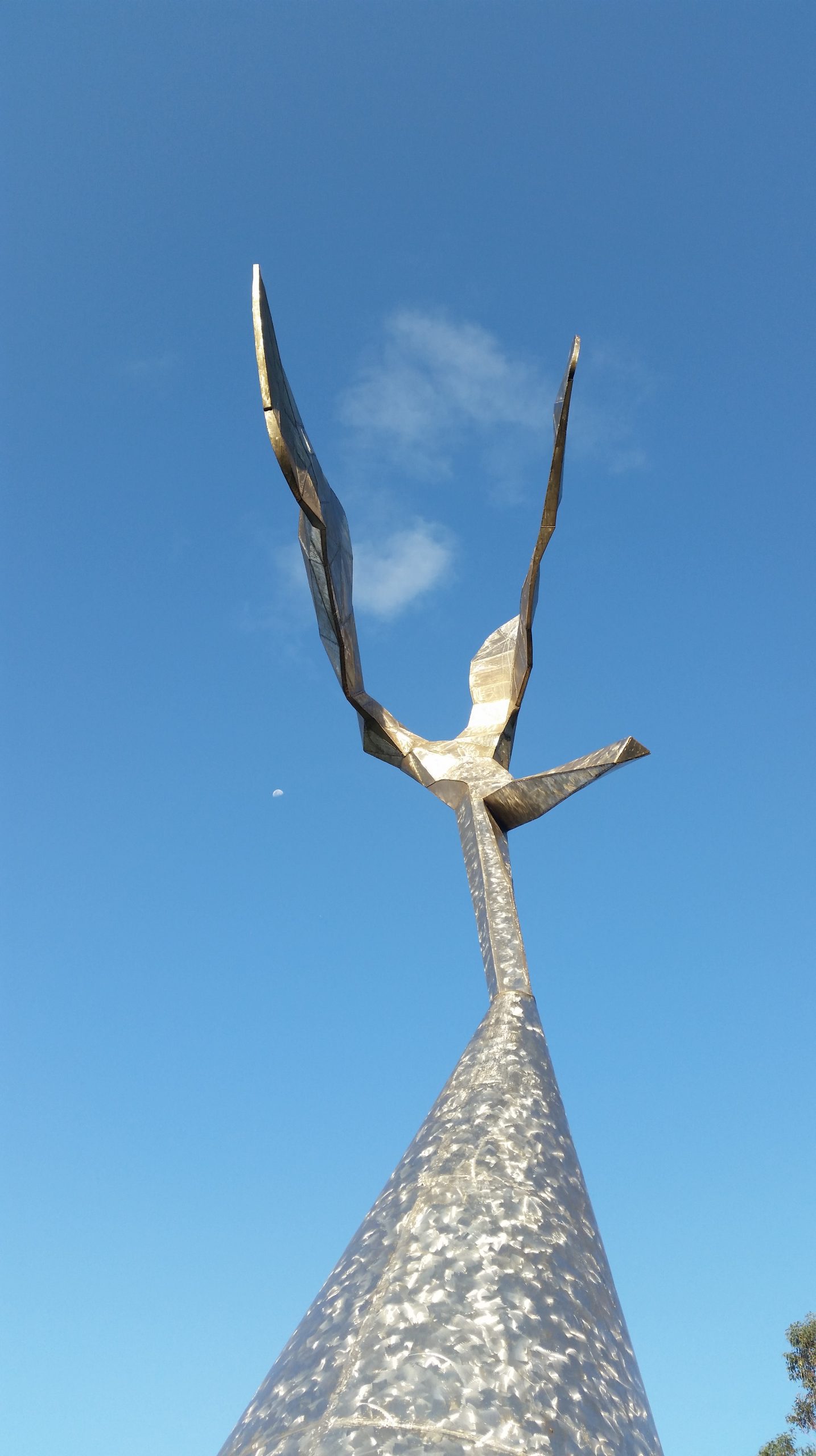
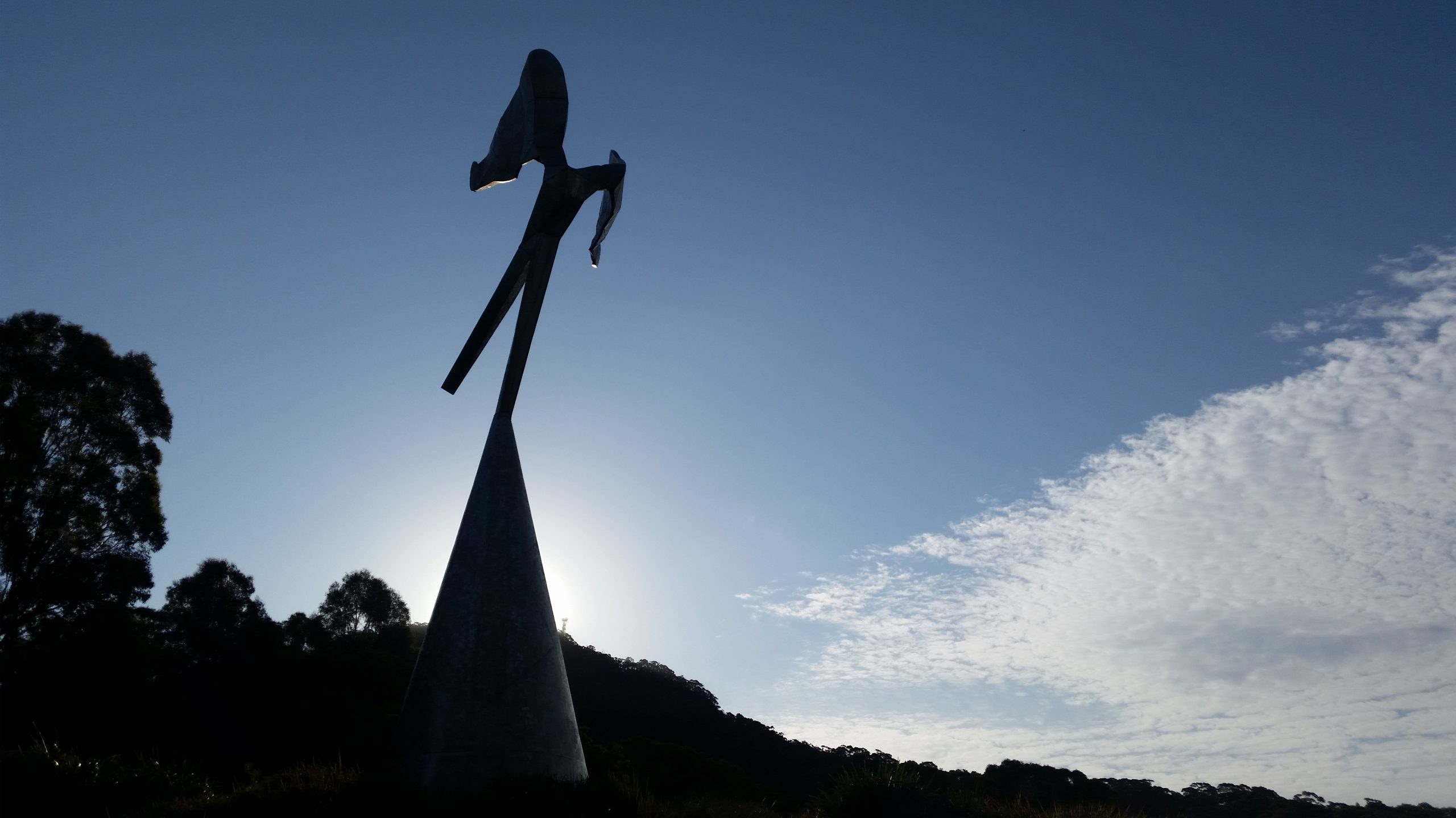
If you can pull yourself away from the staircase, you will continue on a flat pathway to one of Wollongong’s most infamous art installations. Love it or hate it. The Herbert Flugelman “Winged Figure” a monument to Lawrence Hargreaves. Erected in 1988, it was a big event at the time and it certainly still stands tall and shiny today, as impressive as the day it was grounded in this place. It does feel a little forgotten now, with the trees grown up around it and the pathways overgrown, but none the less adds a nice element to the walk.
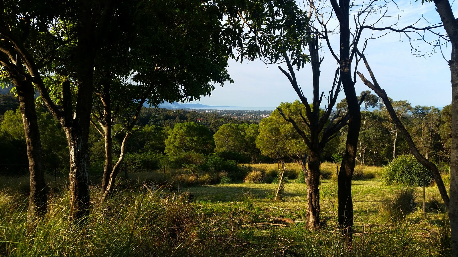
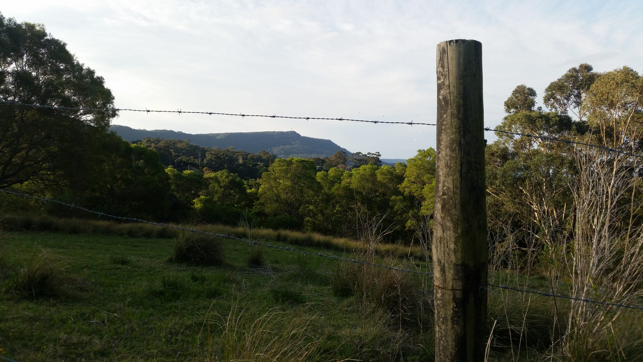
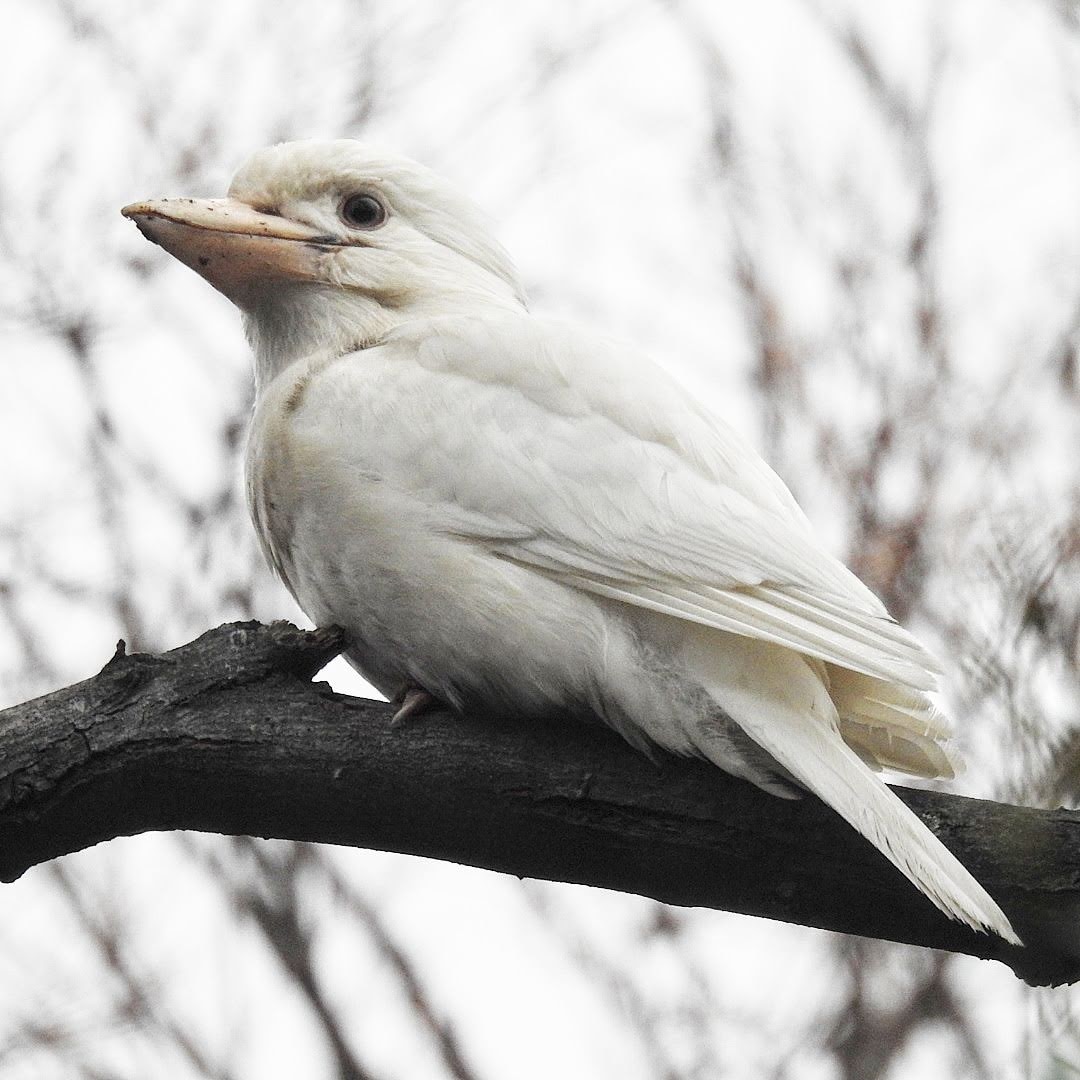
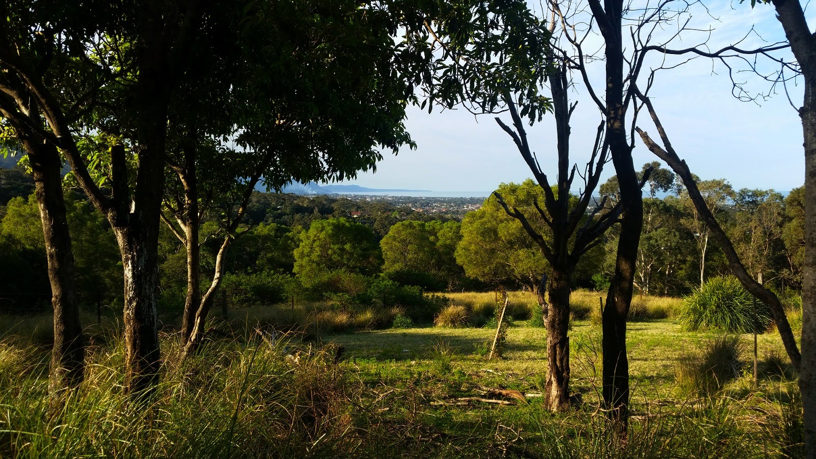
There are lovely views here in this open grassy space especially back to Brokers Nose, you can also see Mt Keira too, giving you an idea of scale of your location. Now you can continue on the pathway up towards the escarpment. This next part of the walk is a really impressive spot for bird watching. So if you can take your time, or even your camera and enjoy identifying the birds. It’s also the ‘flattest’ part of the trail, so enjoy it while it lasts!
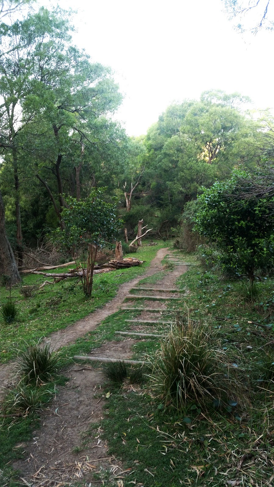
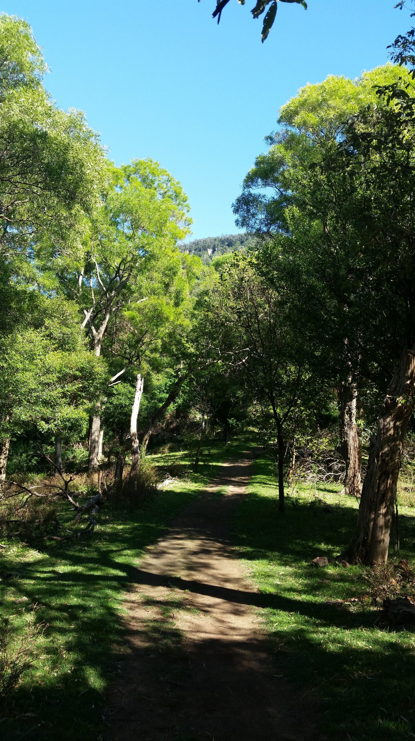
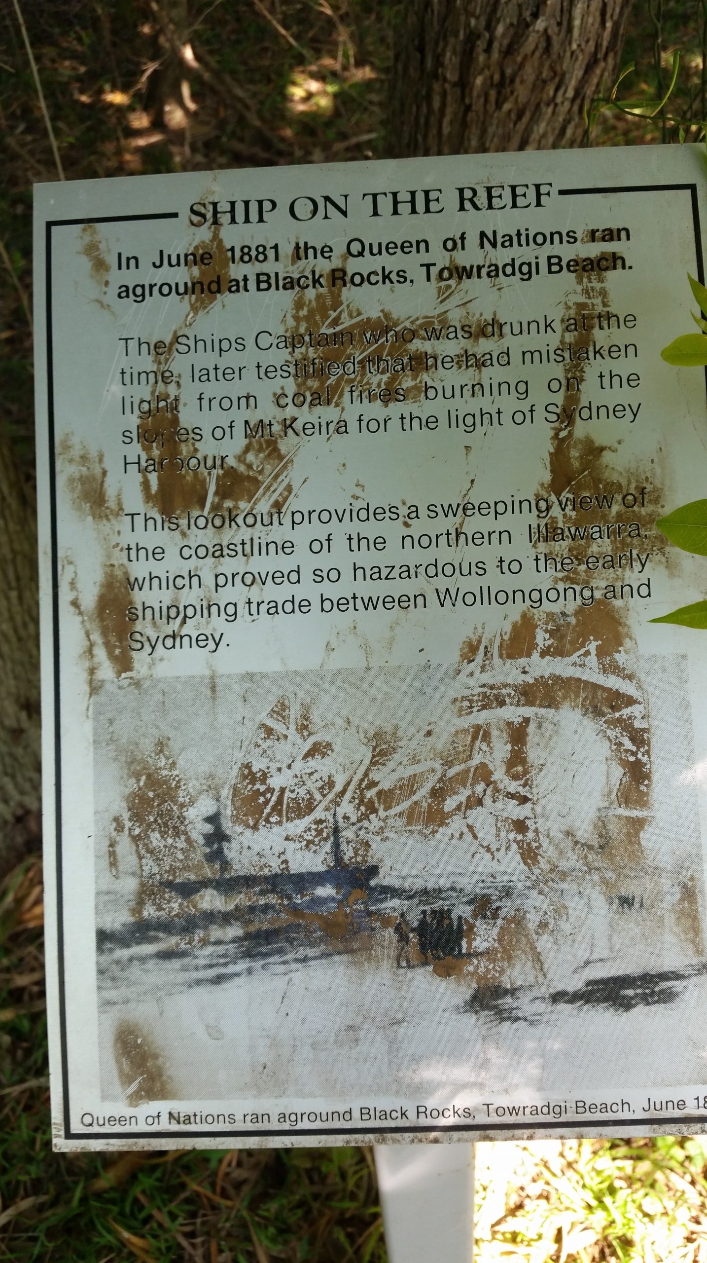
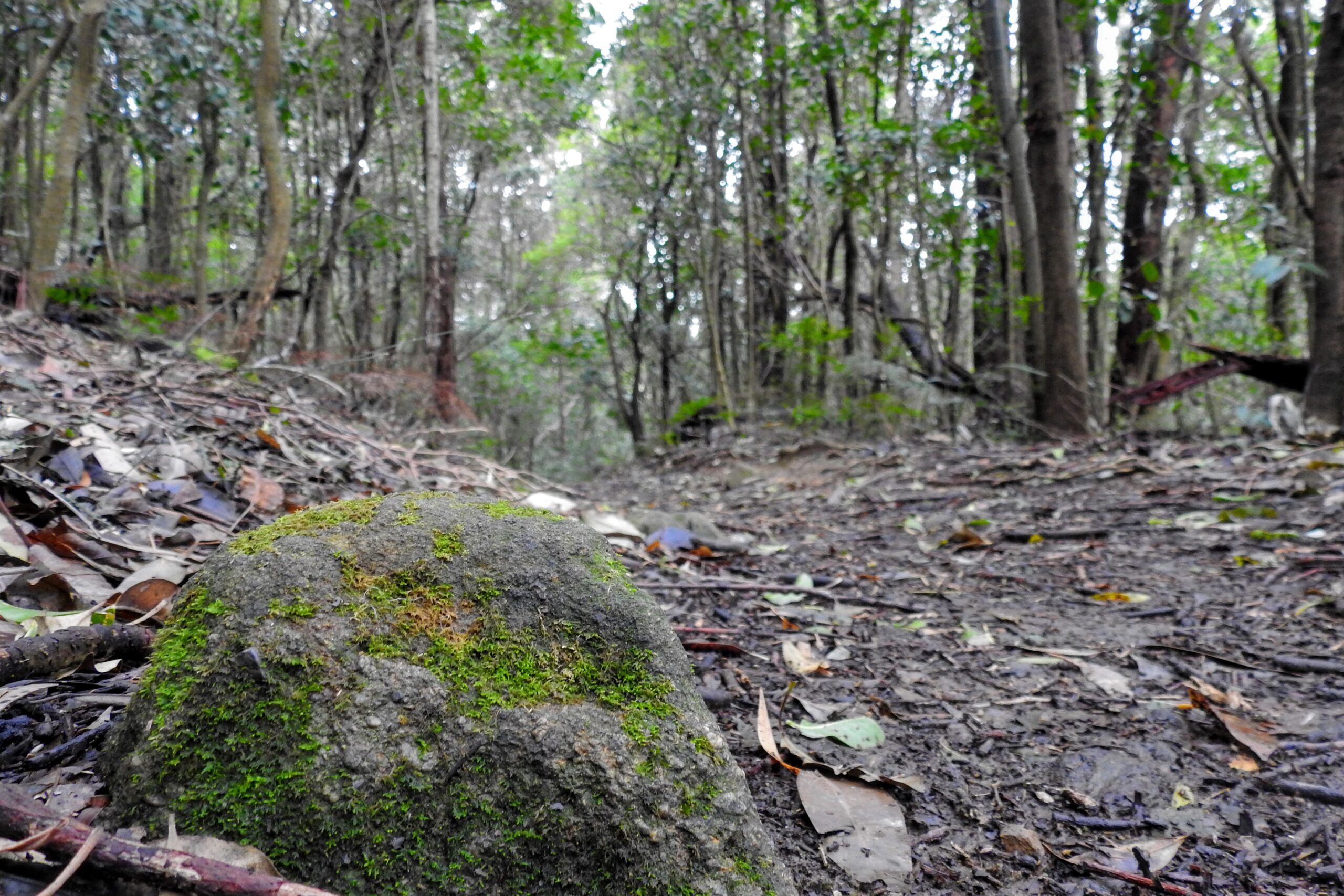
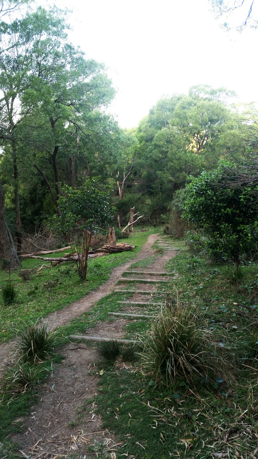
The trail continues through copper log stairs and trails until you reach forest. From here the climb begins again up and up as you reach your way closer to the escarpment. There are a few informational signs along the way, and some sneaky views of the coastline, so if it’s your first time it’s worth stopping to learn more.
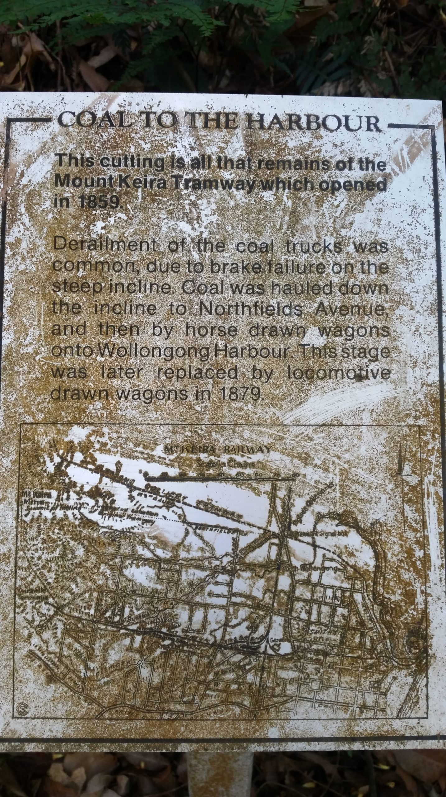
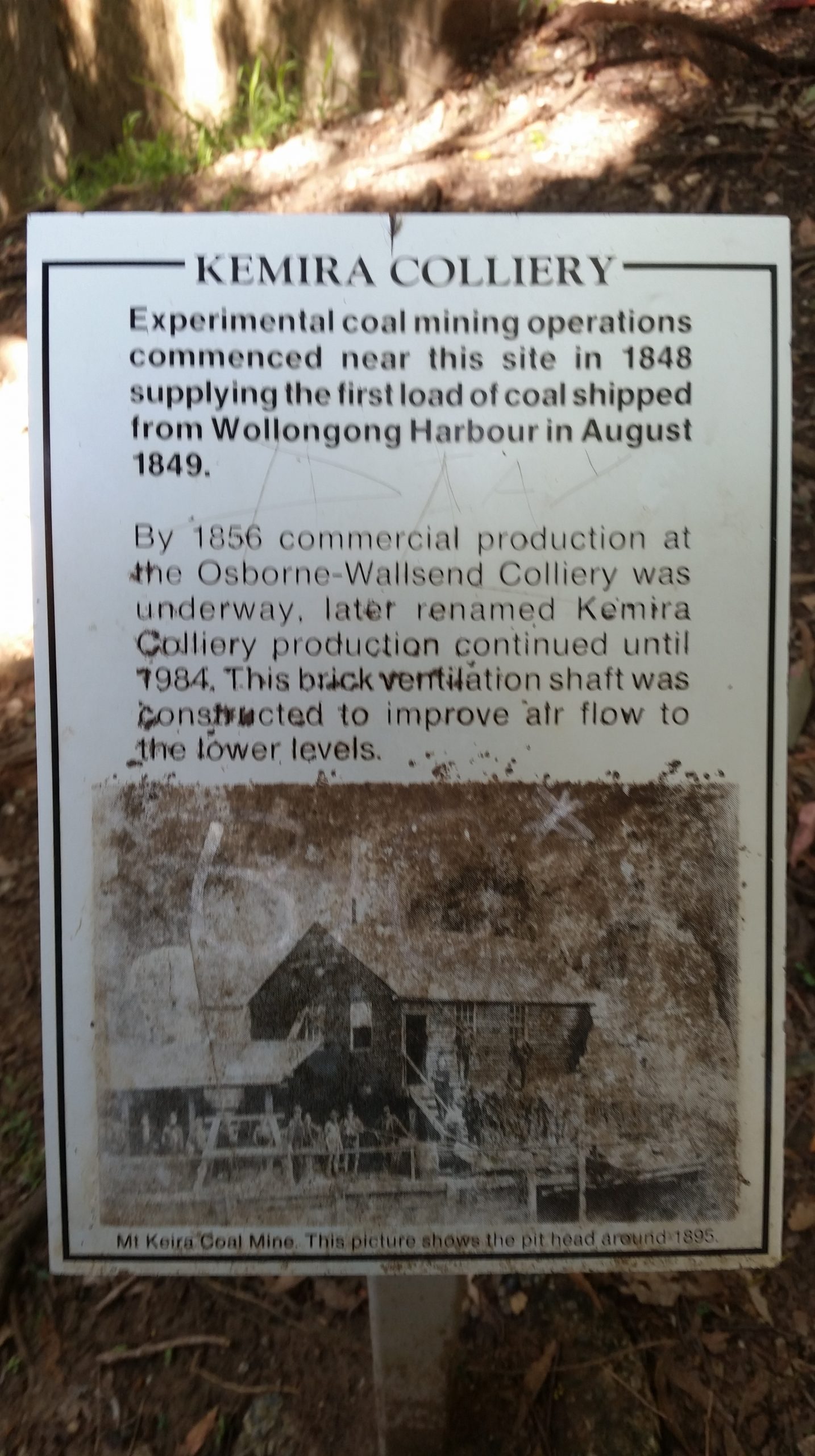
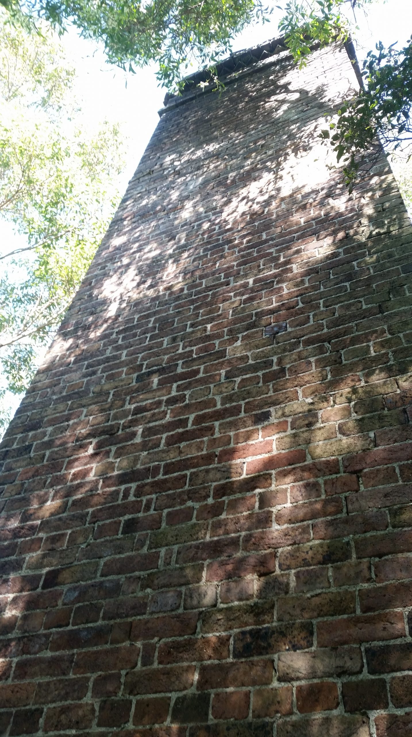
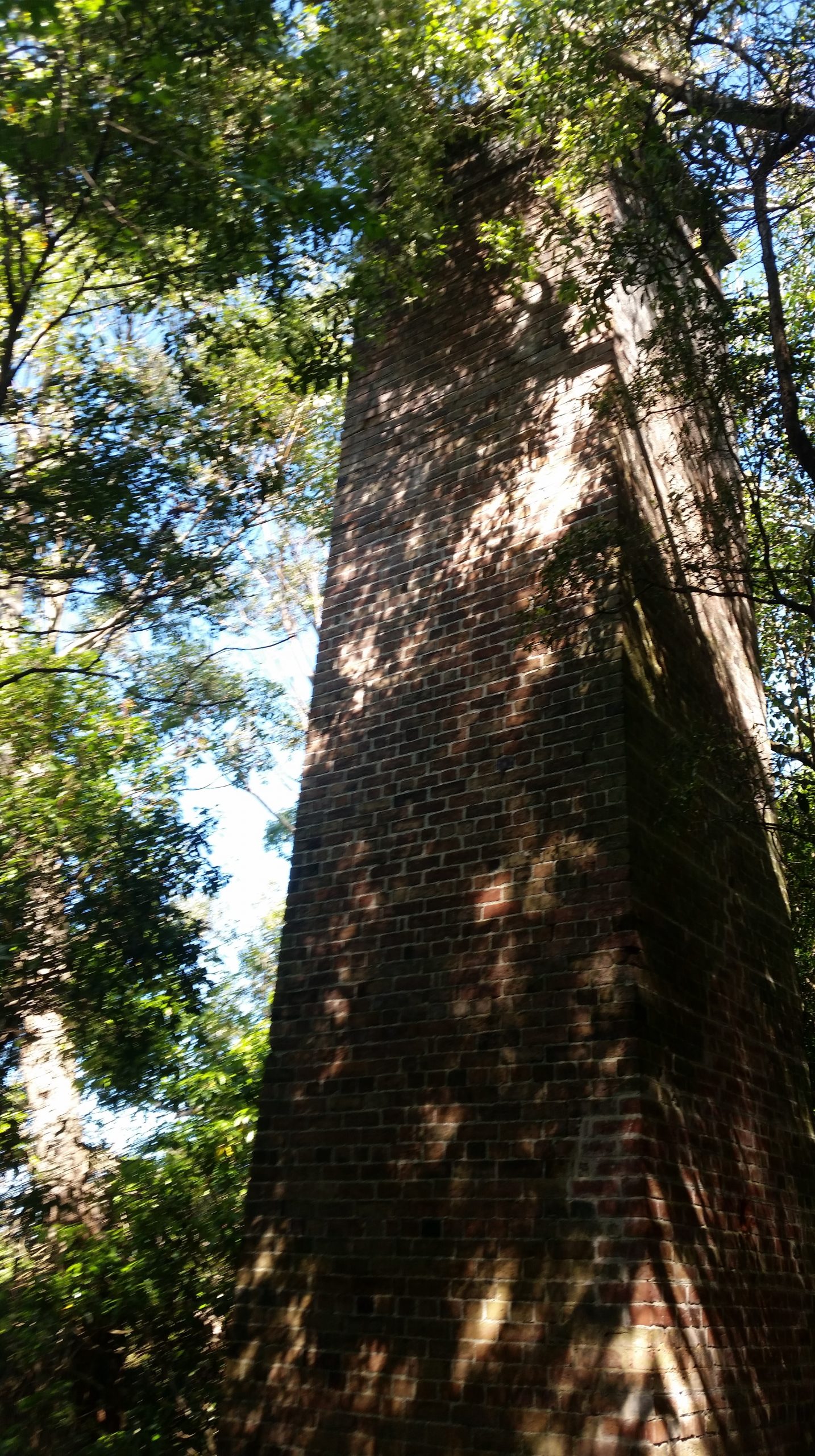
One of the biggest highlights on the Ken Ausburn Trail is the coal history dating back to 1848 including a tramway cutting near the small bridge you cross and of particular interest is the mine ventilation shaft. Please note there is well-signed private property and fences in these areas, so do the right thing. Once you reach the brick ventilation shaft you are almost at the conclusion of the trail.
From the t-intersection at the end of the trail you end on a service trail. You have the option to head South to continue on the Mt Keira Ring Track to summit Mt Keira, or North to Mt Pleasant. The ring track is closed in this direction now so if you want distance, continue to the Mt Keira Ring Track. However, this is the end of the Ken Ausburn trail so you can simply head back the same way you came. Then repeat. Maybe!
Parking and Transport:
As you basically start from the University of Wollongong, parking and public transport is exceptional. Just note that mid-week parking is difficult on the street.
Directions:
Here are the directions to the start of the trail.
Trail Advice:
This trail has steep sections. So people with knee issues or poor fitness will struggle. It is completely suitable for younger children that are used to walking. There is a high chance of leeches in this area after rain, so take adequate protection. Some areas are slippery underfoot with uneven ground, tree roots and mud so there is a risk of spraining ankles or falling, so take your time, check your footing before you put your weight down. In the warmer months, be cautious of snake danger on the open sections of the trail.
Only people with reasonable fitness should attempt this trail as it is steep.
Signage and Track Condition:
This trail is easy to navigate with stairs, paving and copper log installations. Although not in the best state, the trail is very easy to follow. There are some informational signs along the way, as well as a small sign at the start of the trail.
It is very important that individuals do their best to stay on the main trail to avoid erosion and damage to the delicate environment. This is not too difficult and is critical to the ongoing integrity and future access of the trail.
Data & Cellular Coverage:
There is generally excellent reception on this trail. Always carry a basic first aid kit in case of an emergency. The trail is not marked on Google Maps, and to make it worse another trail is incorrectly marked as the Ken Ausburn trail. Until you get to the T-intersection at the end of the trail, ignore Google Maps.
Demographic:
This track is ideal for birdwatchers, history enthusiasts or people looking to increase their fitness. It’s not a ‘typical’ Wollongong bushwalk as it is a wider trail, goes through an urban area and is a regenerated area still plagued with Lantana in many spots. However, it’s a great walk with many pluses, it’s well worth ticking it off your list.
Fitness:
Want to know where you are going to hurt the next day? Depending on how fast you are intending to walk, or how many times you intend on running up those stairs – expect a decent workout. As there are stairs and steep sections, your legs and glutes are going to get a good workout. I’ve been lapped by runners doing the trail on repeat. Given the width of the trail, it’s very suitable to do this, unlike Sublime Point that makes overtaking very difficult.
Hiking Grade: Grade 3
Short but steep. You will need to be reasonably fit to do this walk, if you don’t currently do regular exercise weekly, this is not your trail.
Distance and Time:
The track is a round trip being roughly a 3km walk. Time it takes is dependent on your fitness level, the average walker would possibly take about an hour.
Pollution/Rubbish Status: Grade 1
Ken Ausburn Trail is pretty good for rubbish, however it now has an awful graffiti issue to contend with on the historical ventilation shaft.
Please ensure you take a garbage bag to collect rubbish, and don’t forget to take a photo of your collection and tag us in #bushwalkthegong #cleanupgongsbushland – let’s spread the word that littering in or around our bushland areas is NOT OK!
Prohibited:
All dogs (except for assistance dogs), bikes, camping and smoking – and especially alcohol.
References and Resources:
https://www.illawarracoal.com/minebase/minebase-d-l/300-kemira-colliery.html
https://www.illawarra-heritage-trail.com.au/mt-keira-kemira-colliery/

Got a work shop this weekend so can make it.
Cheers
Rob
Sent from my iPhone