Bong Bong Pass was one of the busiest thoroughfares between regions in times gone past, a popular cattle track joining the rich pastures of the Southern Highlands to the Illawarra. But even before then, the local Aboriginal people traveled this pathway.
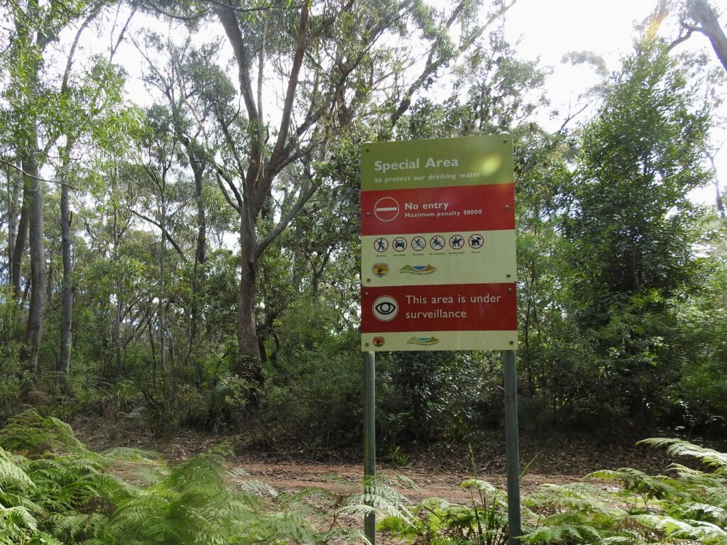
This trail has un-fenced cliffs and steep sections. Extreme caution should be taken and take heed of the warnings in this post. The path is very rough in places so ensure you wear appropriate footwear and carry sufficient water. The trail also runs close to private property and Waterboard land, significant fines and potential charges may arise should you trespass.
This is a historical Aboriginal track, that was first known to local settler Charles Throsby in 1817 as shown to him by the resident Aboriginals. From then the Bong Bong Pass was used as a thoroughfare between the Illawarra and the Southern Highlands known as “Alley’s Line”, including the moving of Alpaca’s from the highlands down to the Illawarra in the 1860’s. Bong Bong Pass was well used and was becoming dangerous due to the increased traffic, a proposal was made to make improvements as late as 1897 to make it an official road, however this never eventuated with the establishment of Macquarie Pass, deemed as the more appropriate Pass for wheeled vehicles and it remains so today.
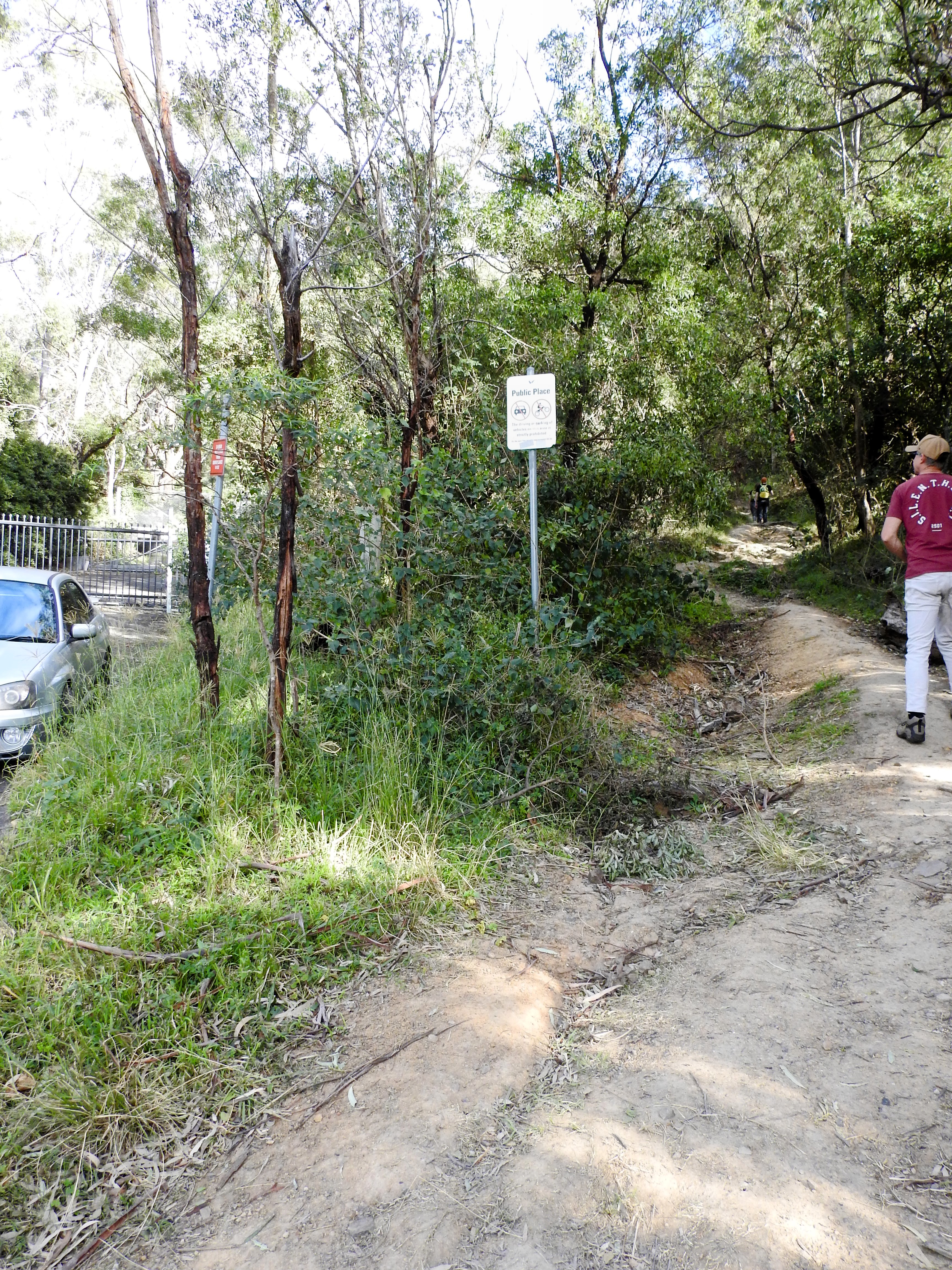
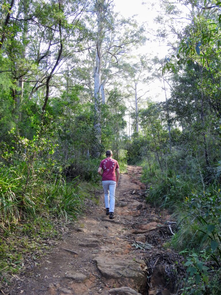
To start the trail, the trail head begins at the end of Bong Bong Road, Dapto up through Huntley. When you reach the very end of the road, enter the trail on the Northern or right hand side of the road, there is a clear trail next to the fence.
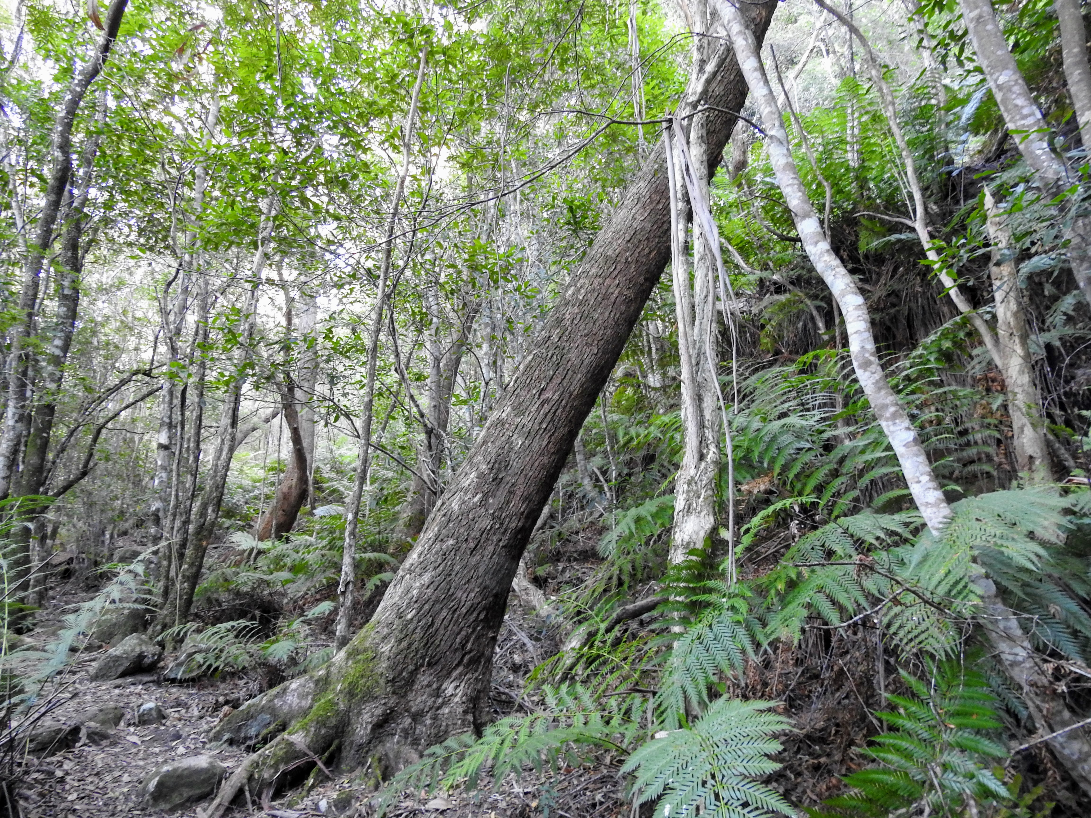
Start of the Bong Bong Pass summit trail 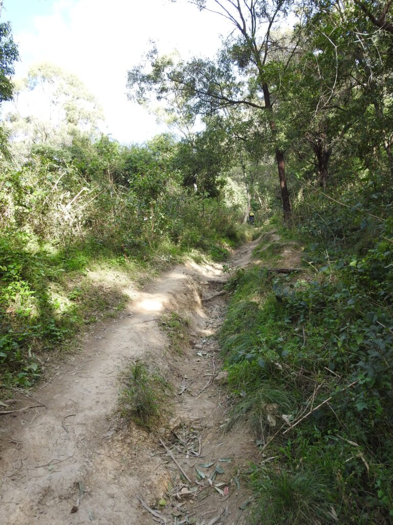
Clear pathway on the Bong Bong Pass trail 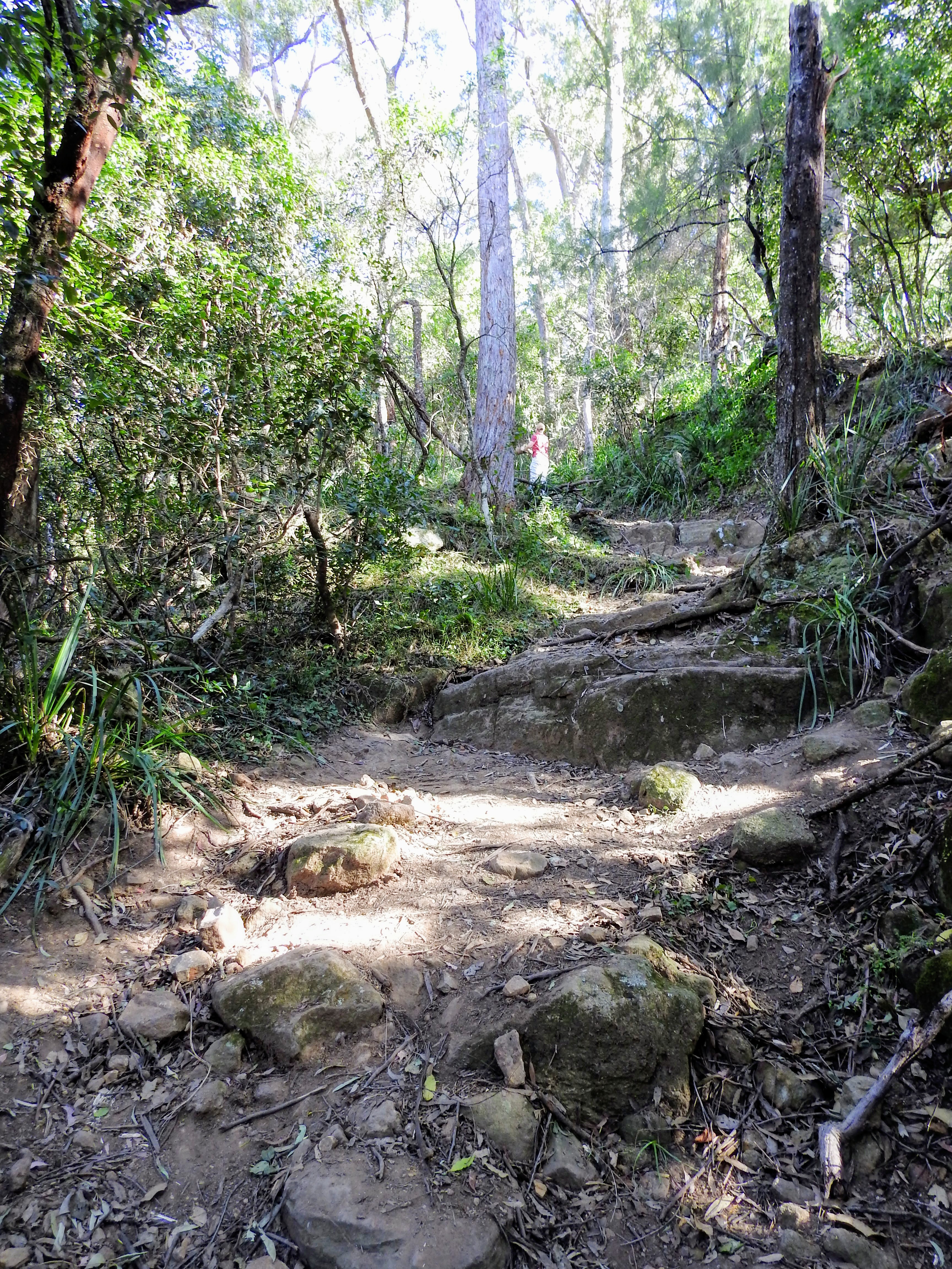
Rough trails 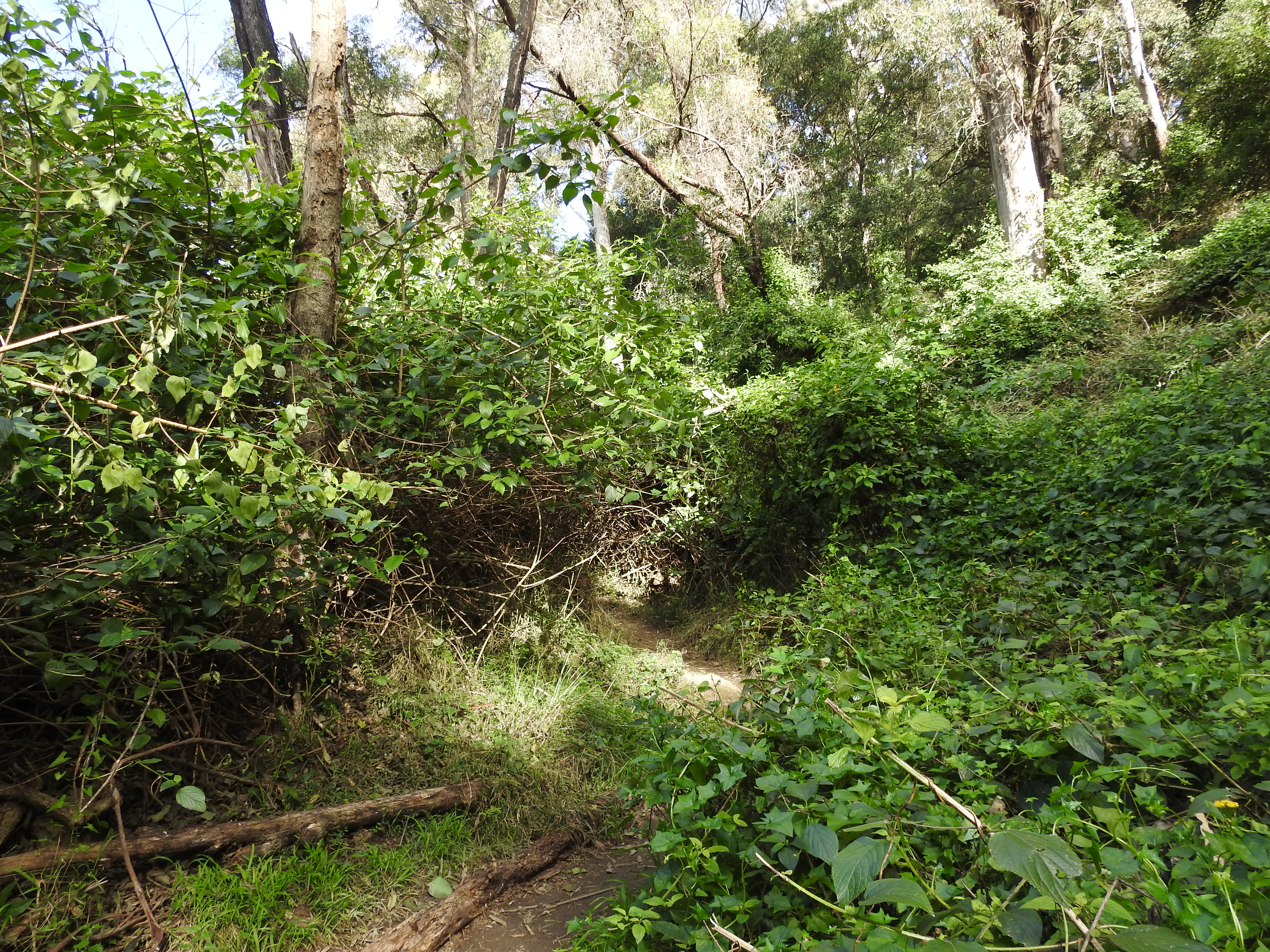
Overgrown pathways
Bong Bong Pass is a well worn trail. A well worn steep trail! The start is rough bush with noxious Lantana and weeds. This steep start leads you to the fences of the Avondale Colliery, this area is fenced off and is being monitored for trespassers, so stay on the trail if you want to avoid any legal action. It’s a good place to stop and look at the view and have a drink.
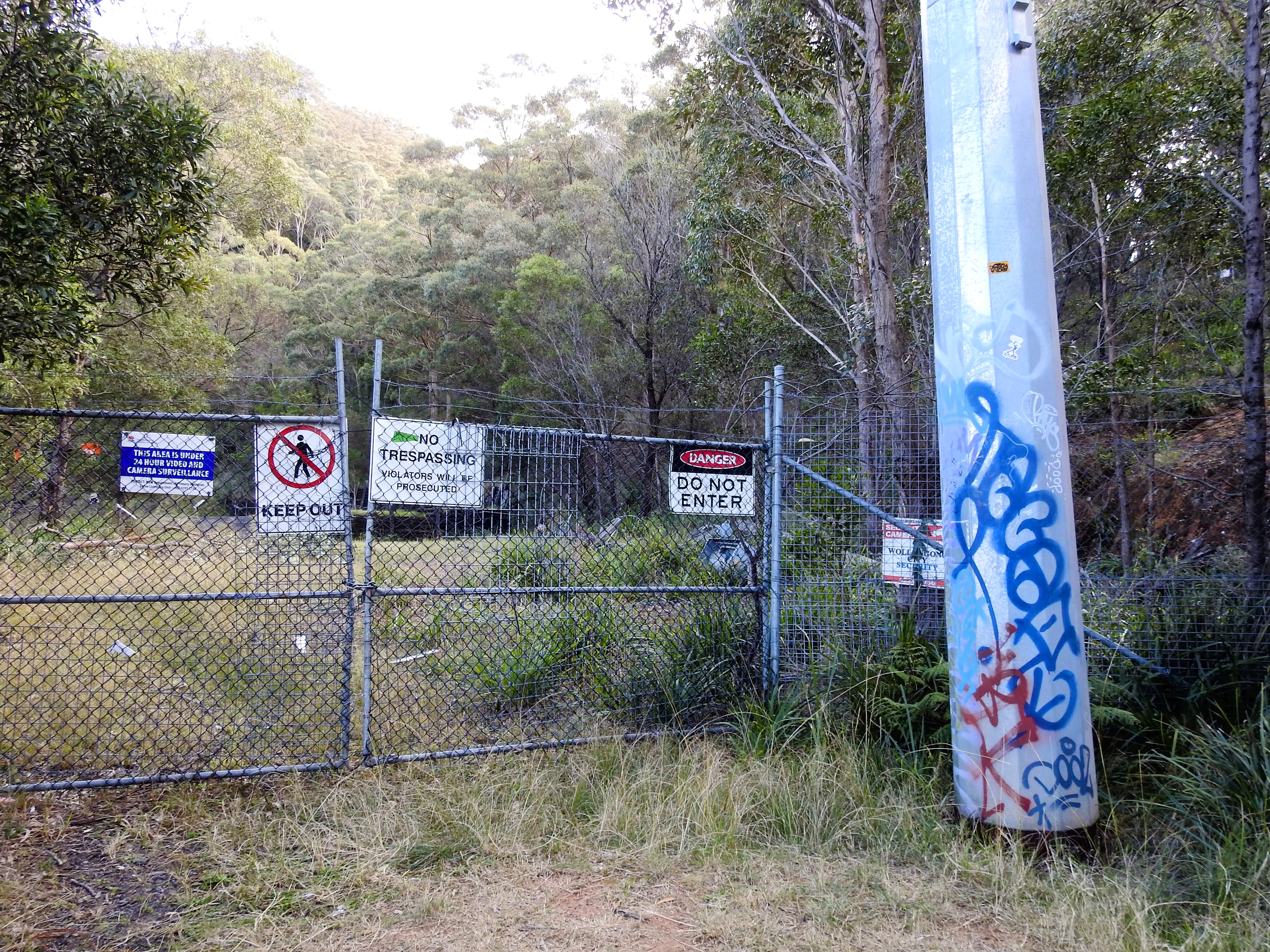
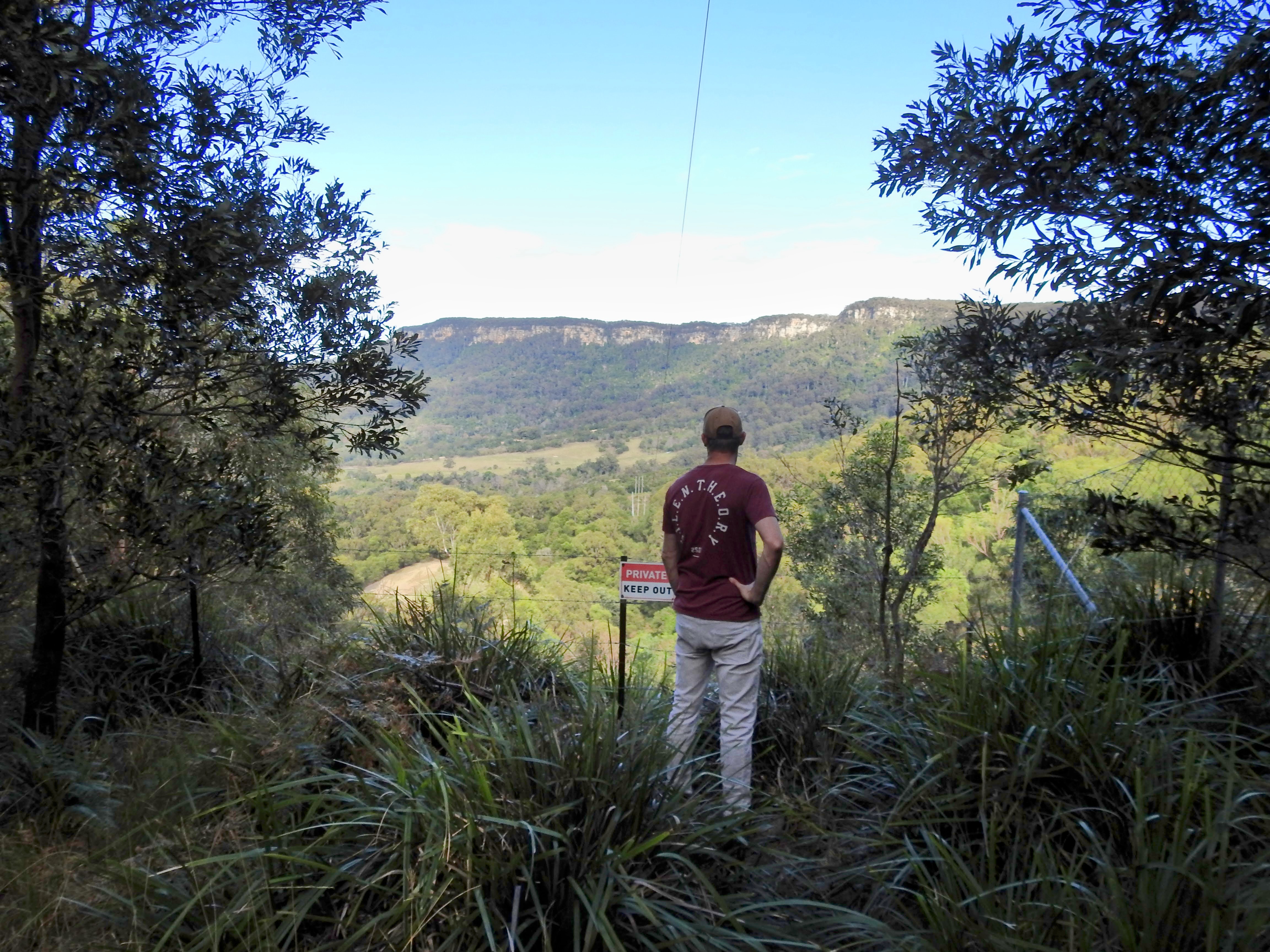
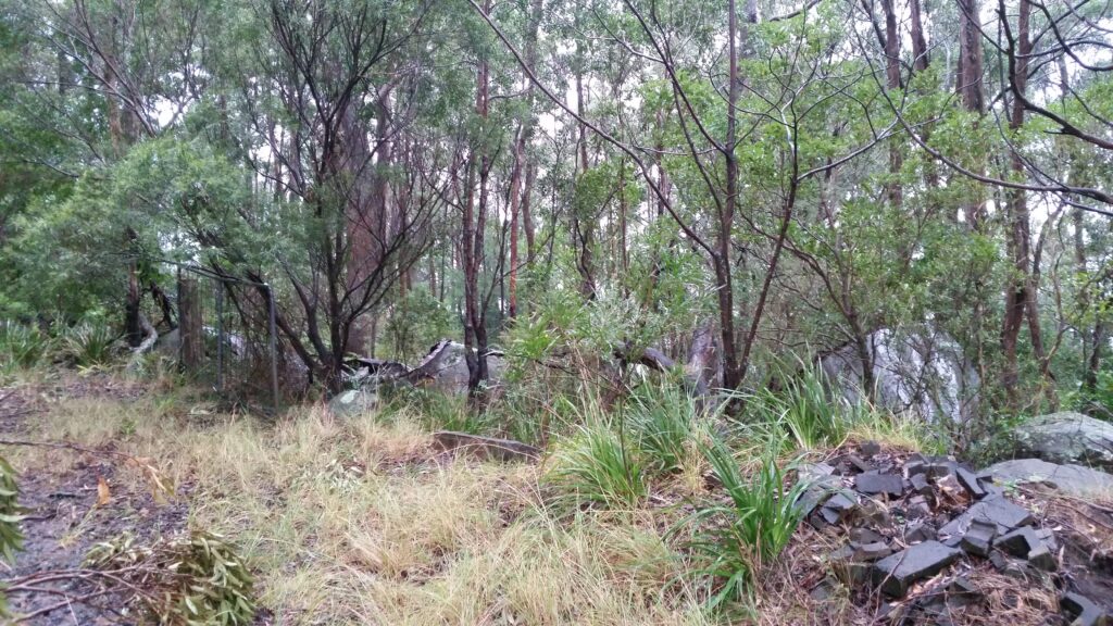
As you continue on the path, you will see some old buildings and water tanks, again – stay on the trail leading uphill, there is a little side trail but this leads off to private property and goes nowhere. There is ample signage pointing out private property, so stay on the obvious larger trail.
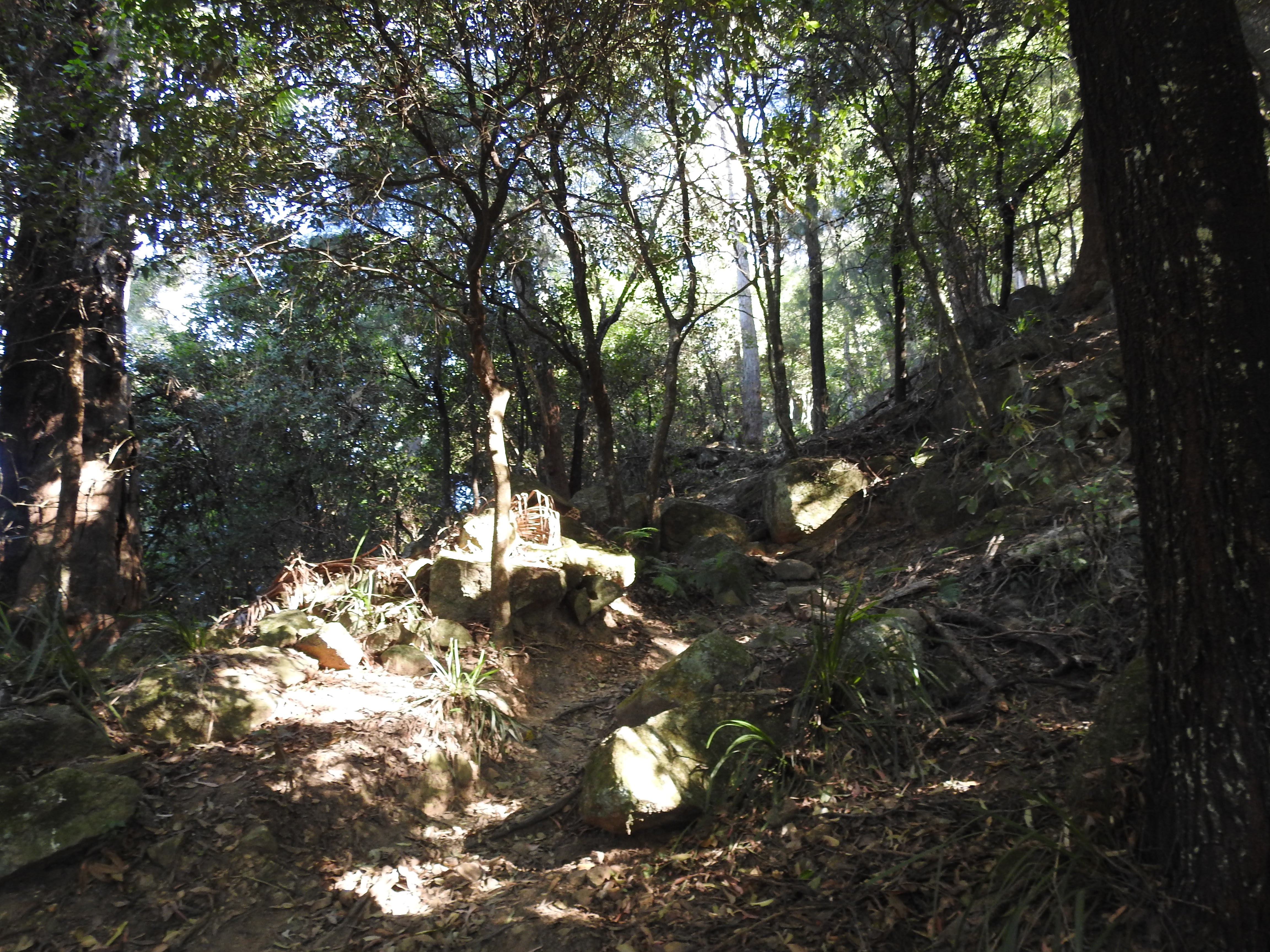
As you press on from this point you can start to appreciate this trail for what it once was. Back in the day imagine walking up or down here; loose rocks underfoot, thin trails and a herd of cattle behind you. These steep inclines would have proven treacherous and a real test of endurance for both the people and the livestock.
A rocky trail straight up 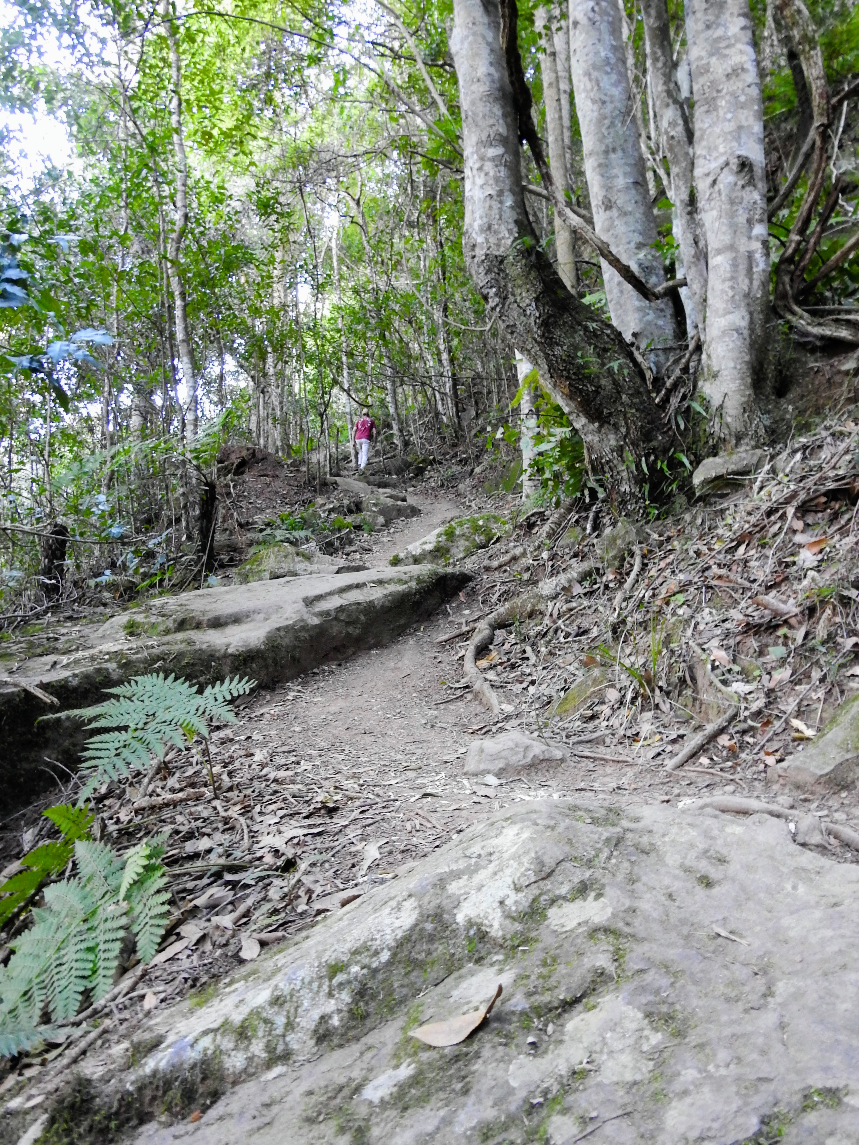
Steep but beautiful 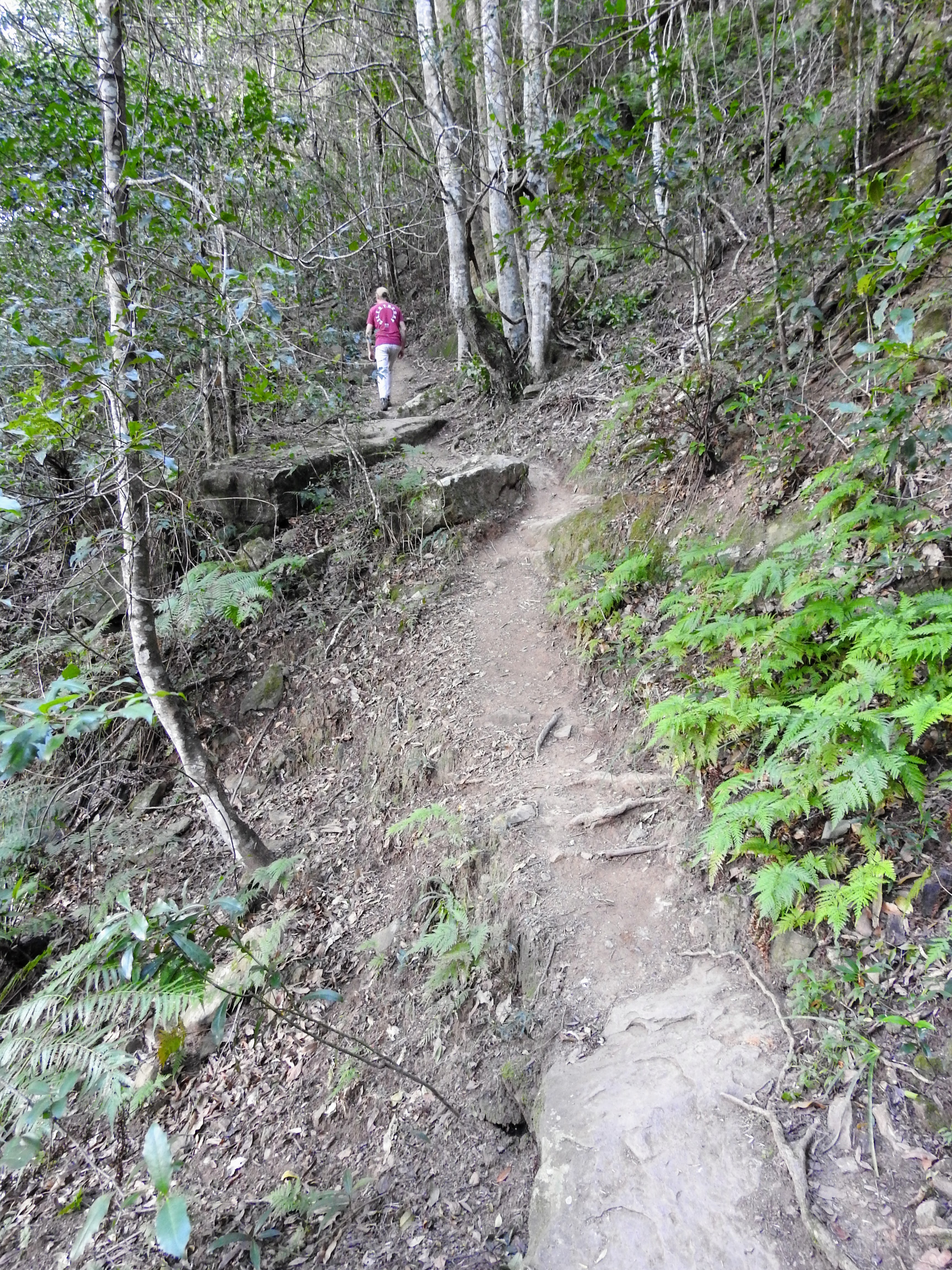
Narrow trails on the steep embankment 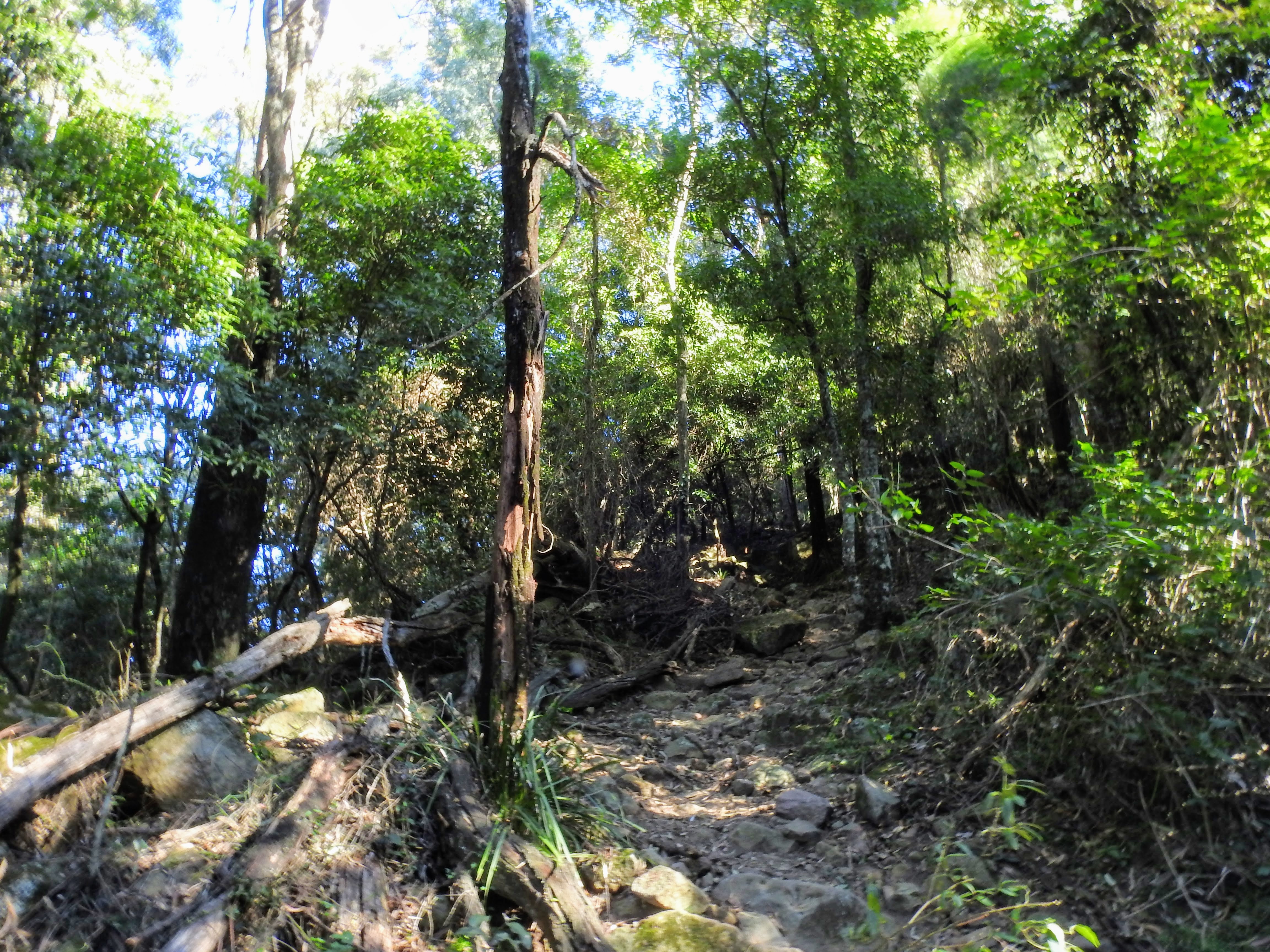
Morning workout 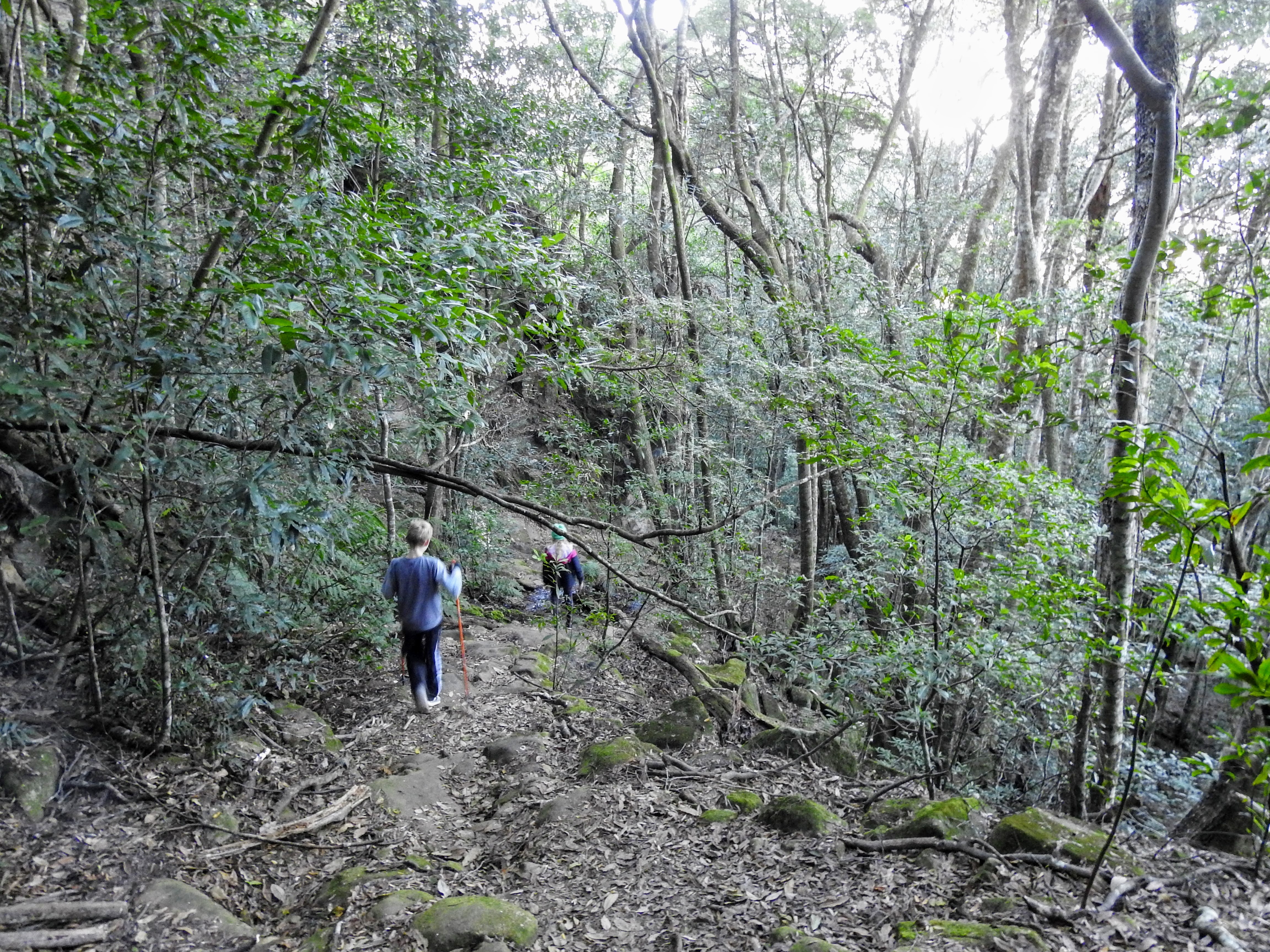
Way down the steeper sections
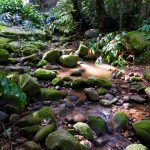
The trail keeps going up and up until you are standing under the gorgeous cliffs. From this point there is some reprieve as you have large sandstone cliffs above and around you, as the trail slightly loses it’s intense incline, still going up, but a little more manageable. Enjoy the lush green scenery around here including gorgeous ferns.
Gorgeous fern forests 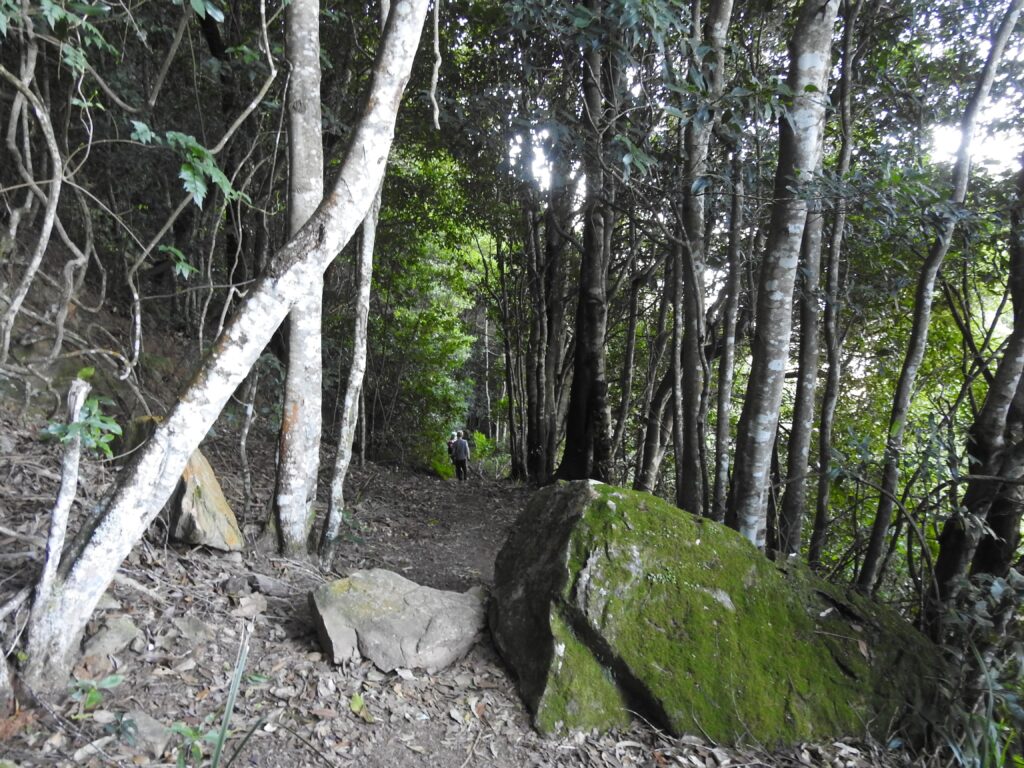
Green forests 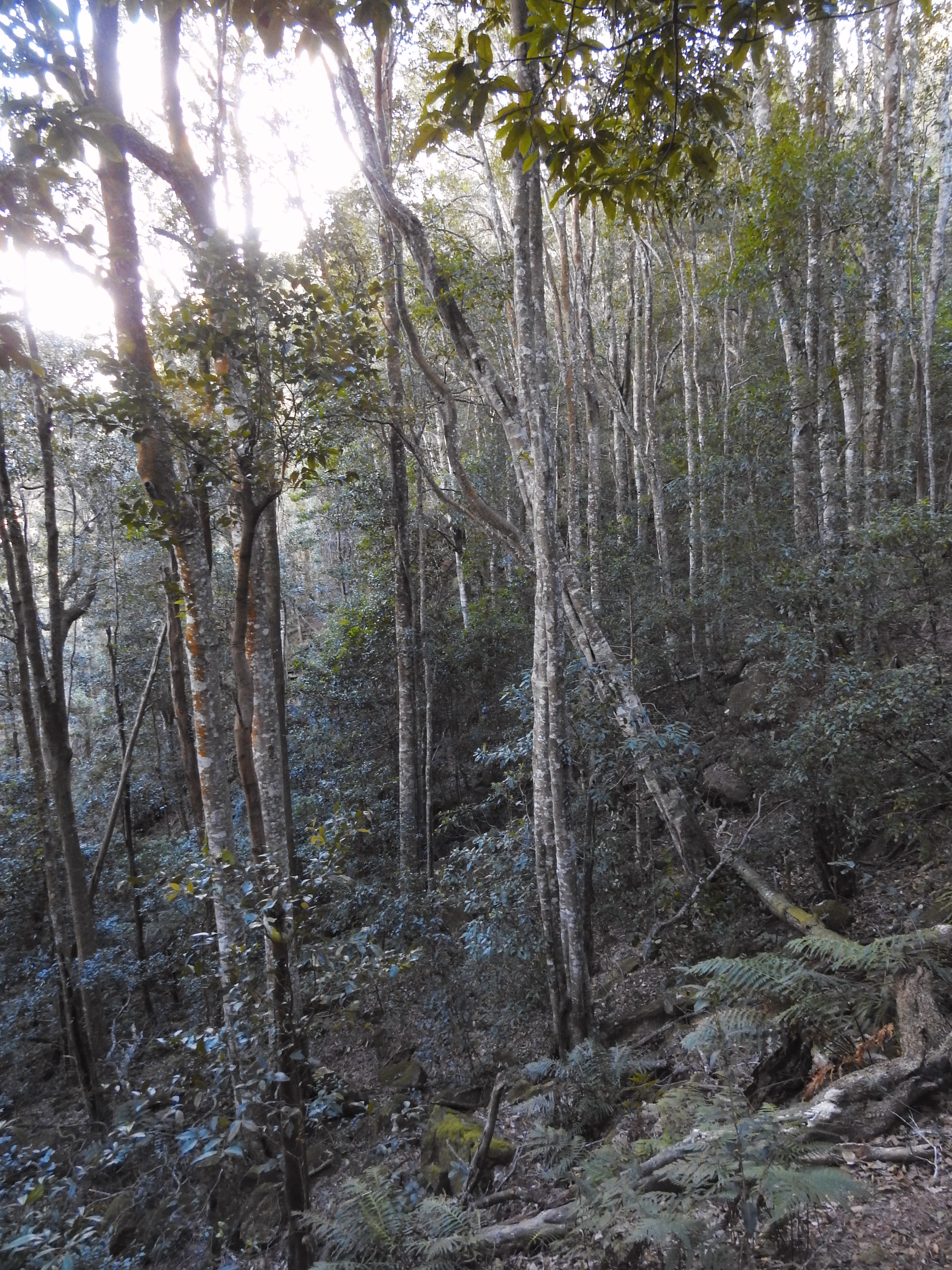
Steep forest scenes 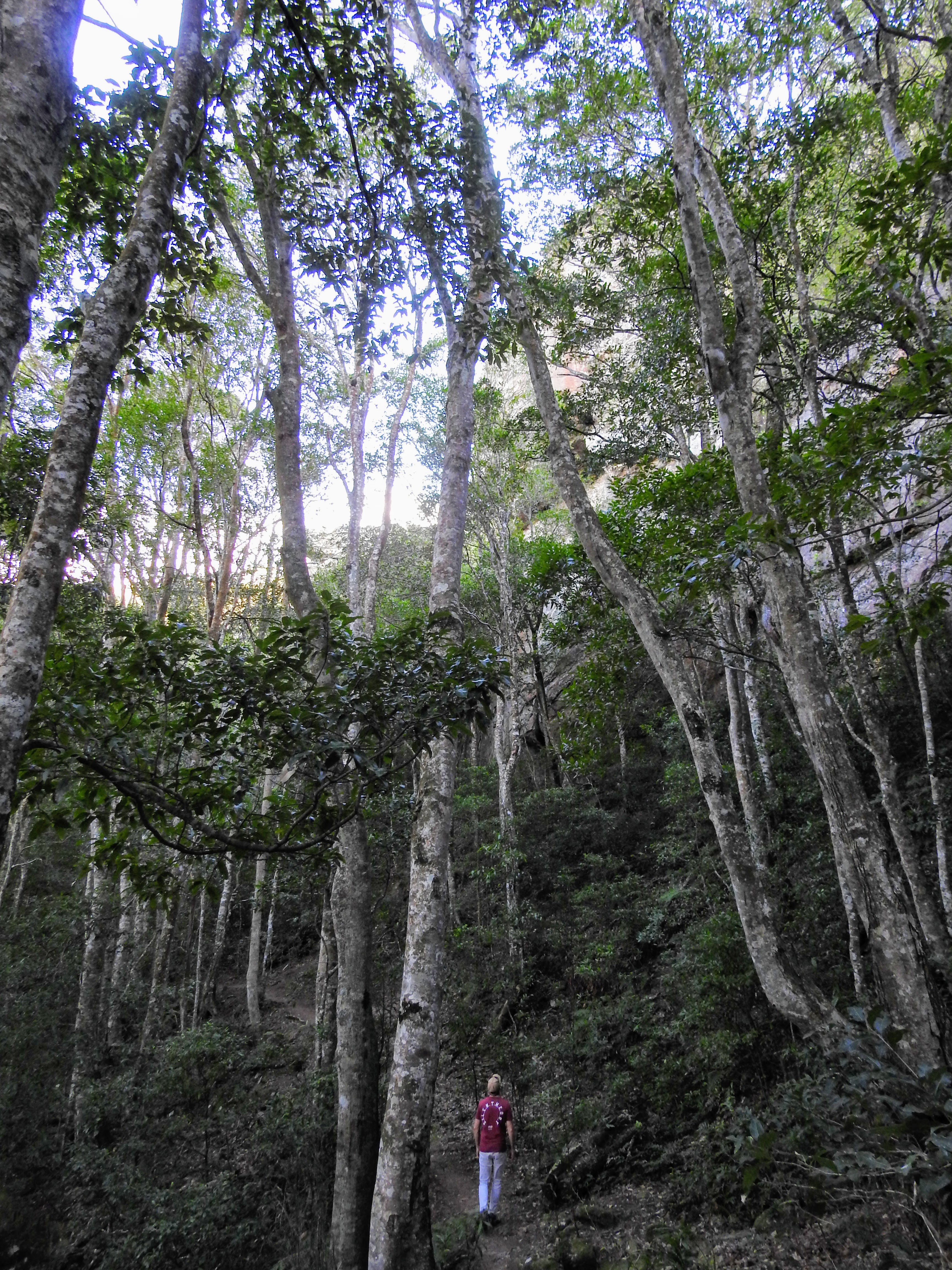
Looking up to the cliffs 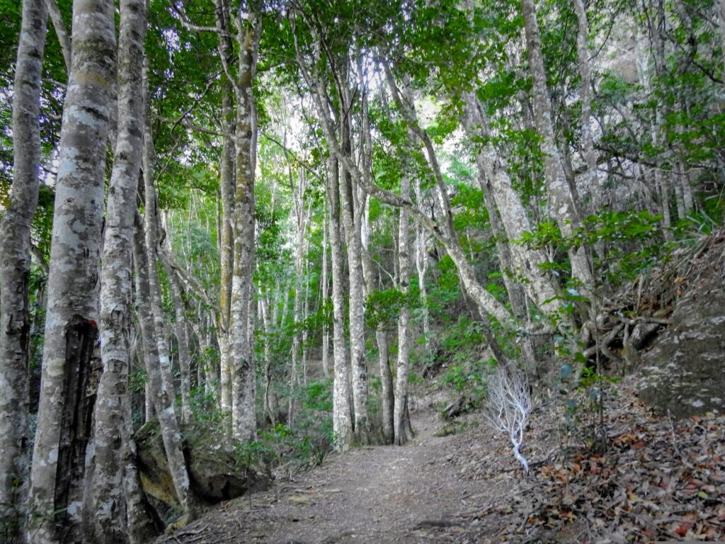
Serene flatter walk 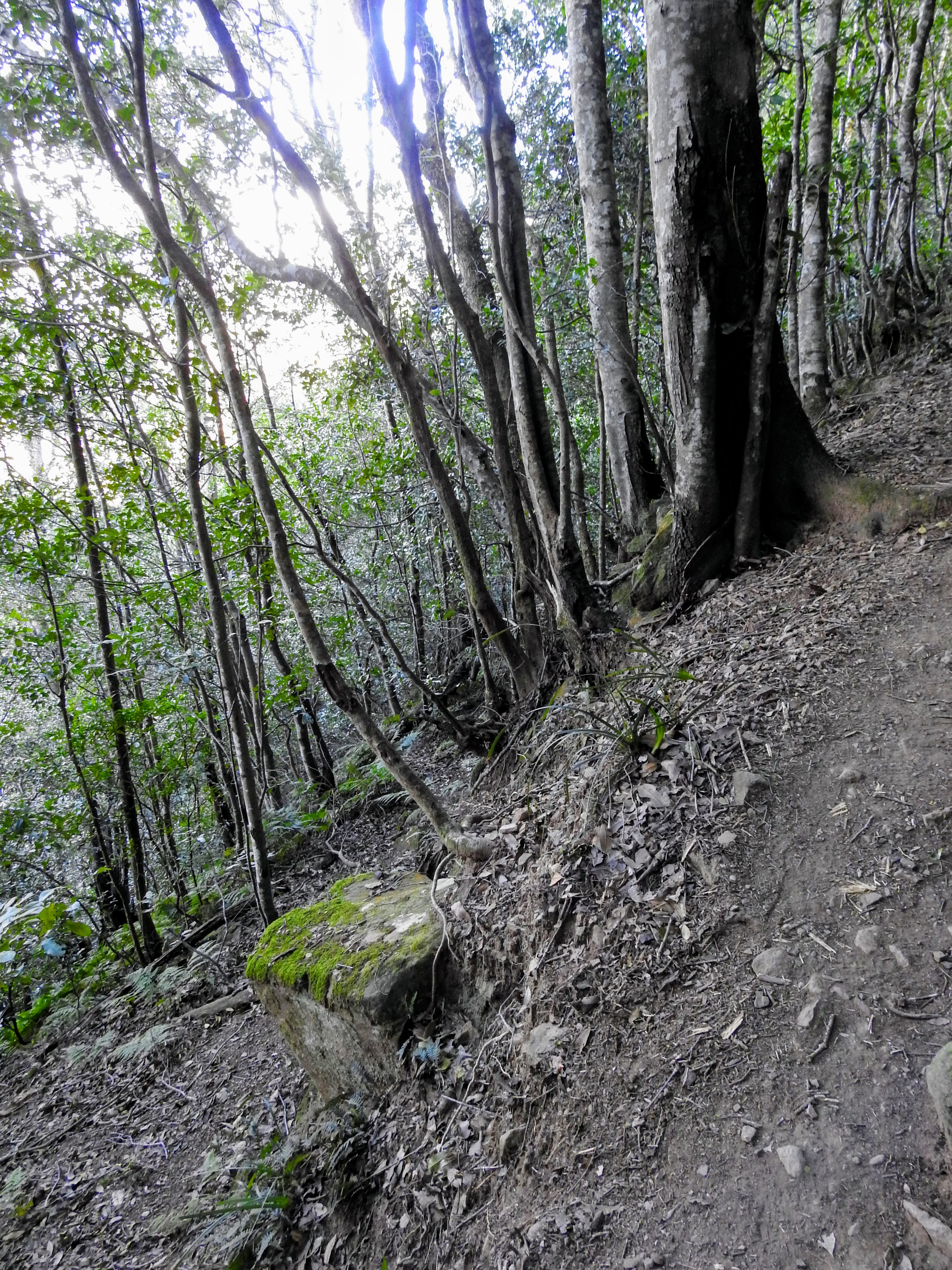
Steep drop offs
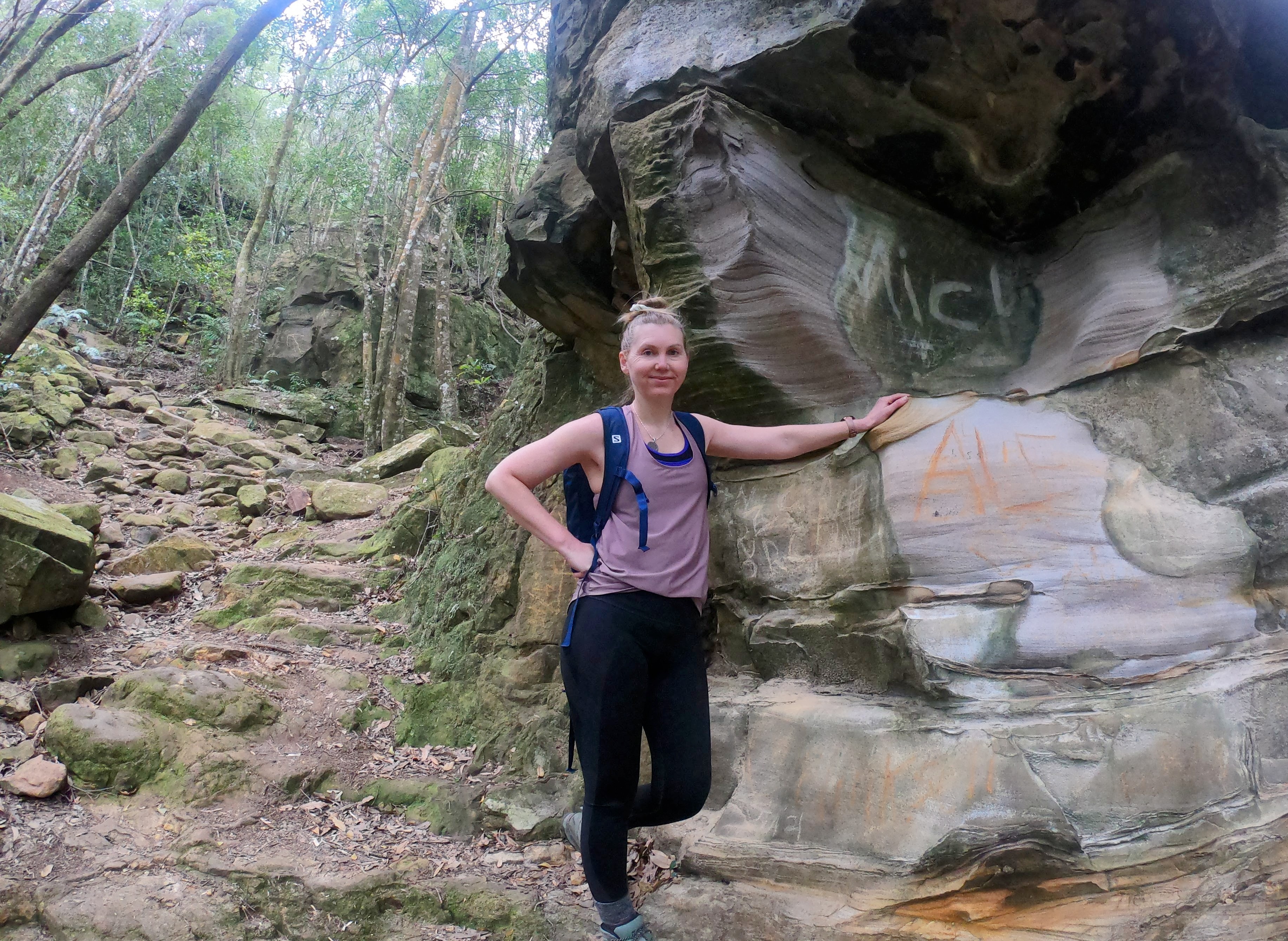
As you continue up Bong Bong pass, on the right side you can spot a carved water trough, aptly placed under a water source which naturally stays filled to the brim – resourcefulness at it’s finest! Just behind you enjoy the +100 year old graffiti on the flat rocks and another great place for a rest, just like Illawarra’s early settlers would have done in this very spot.
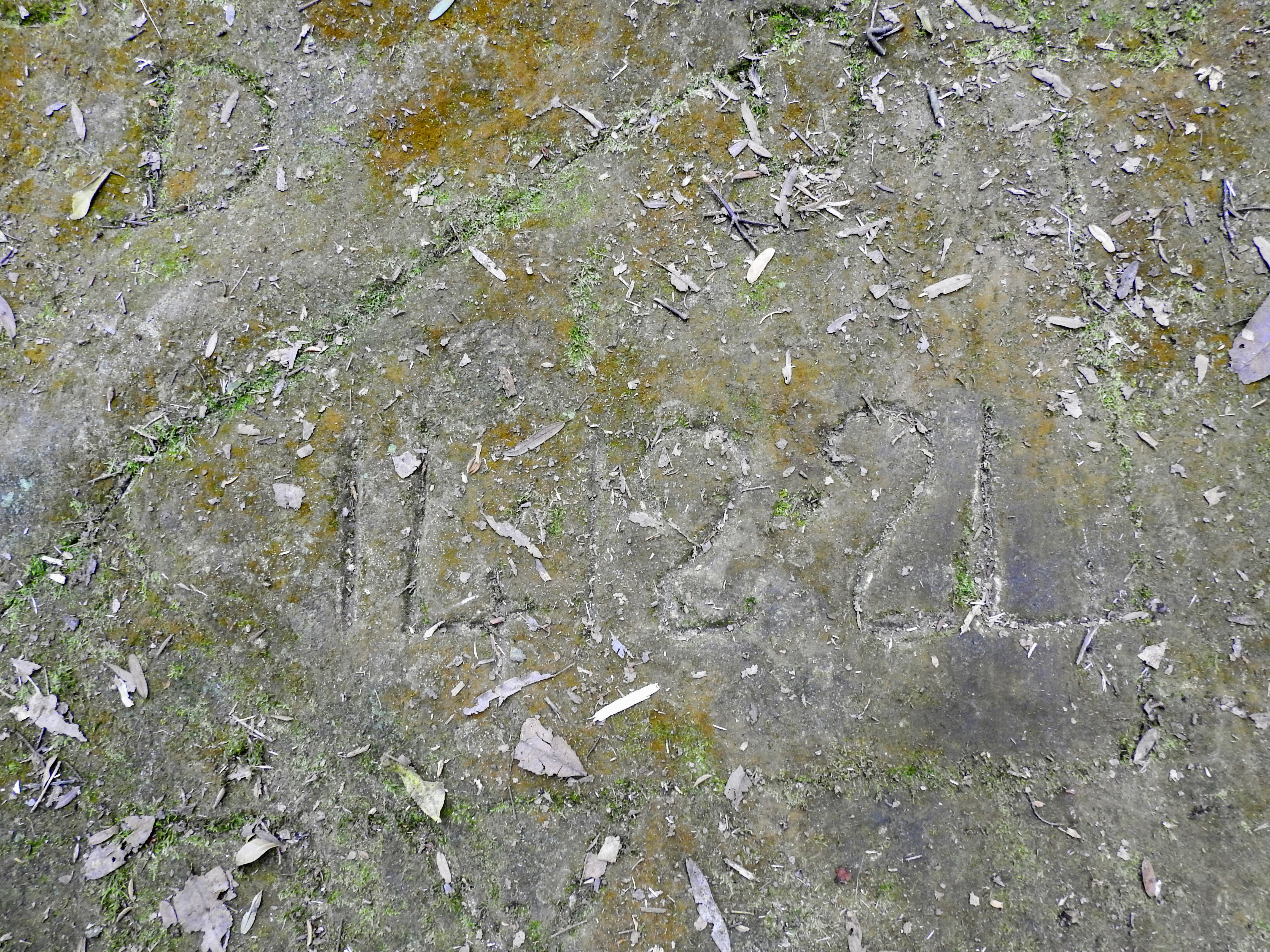
Old graffiti from the old Pass days 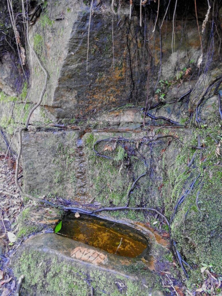
Trough for the cattle and horses 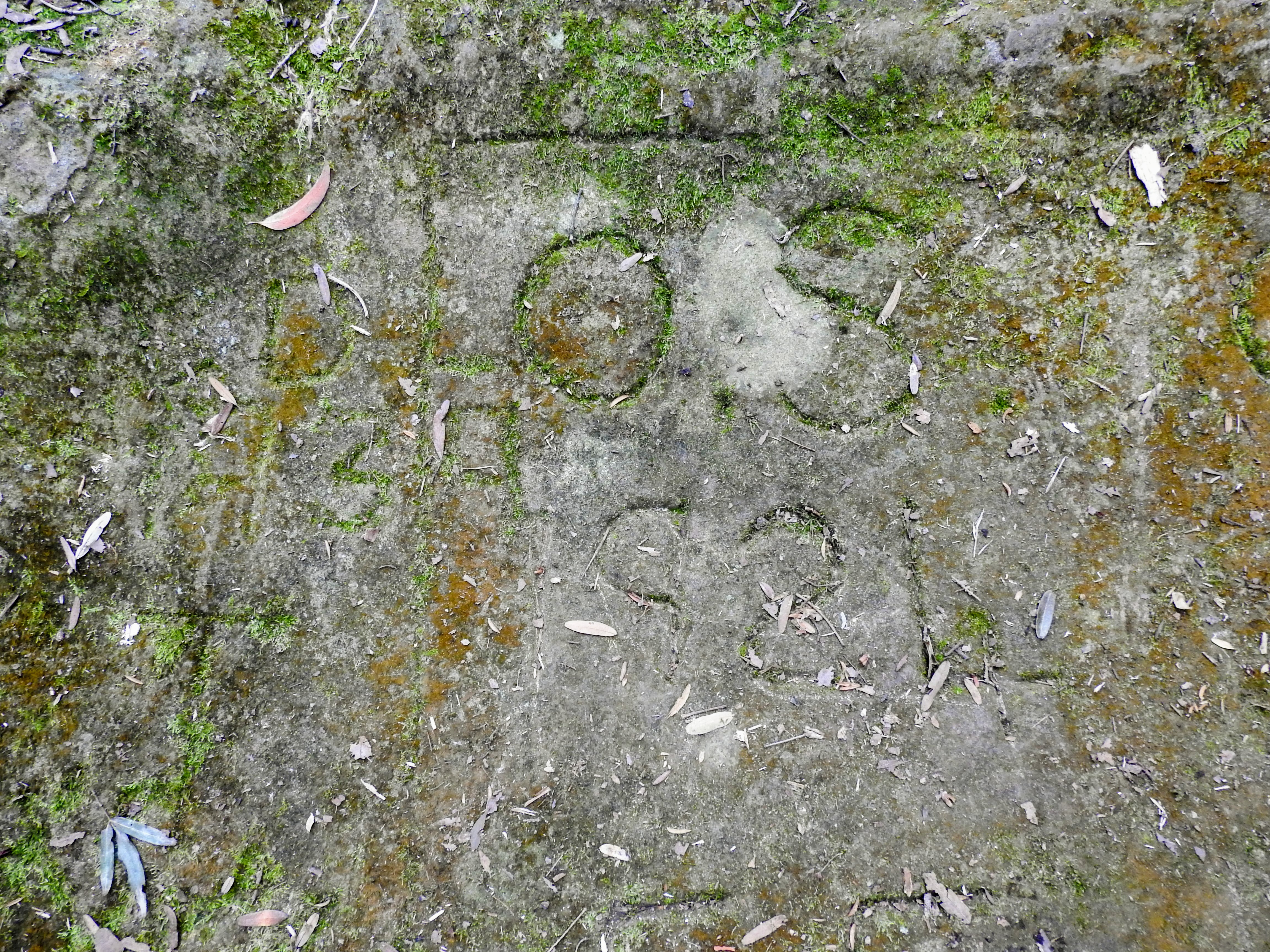
Old graffiti from the old Pass days 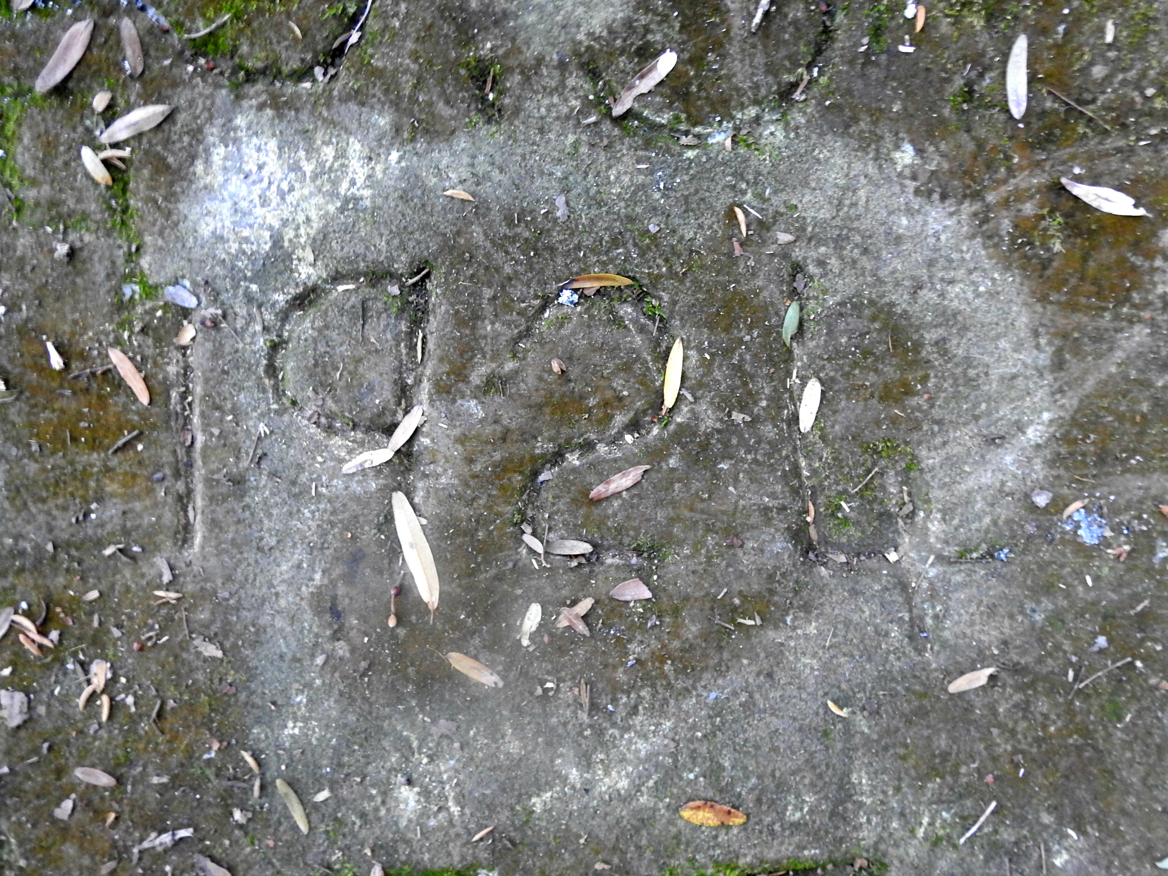
Old graffiti from the old Pass days 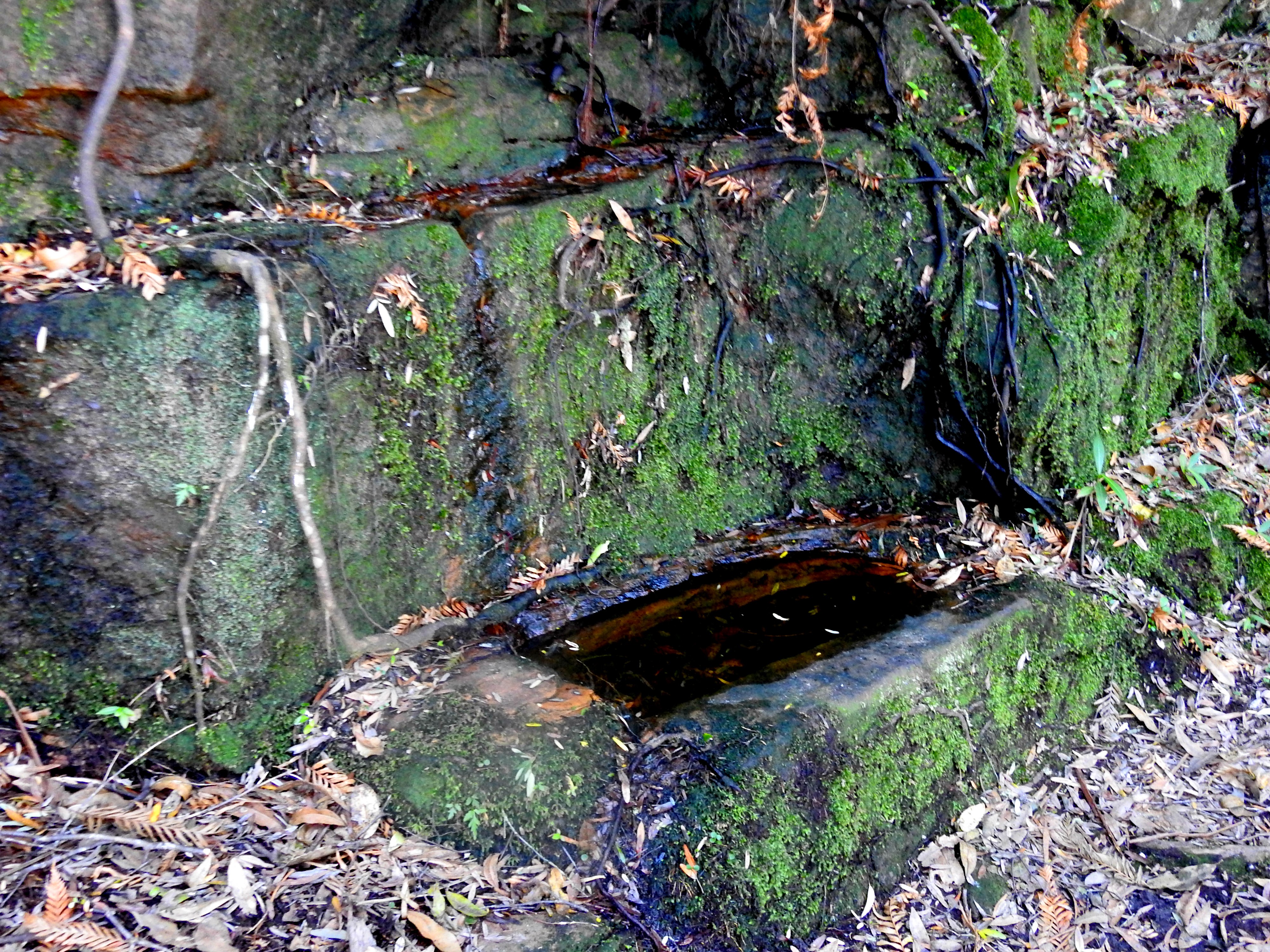
Trough for the cattle and horses 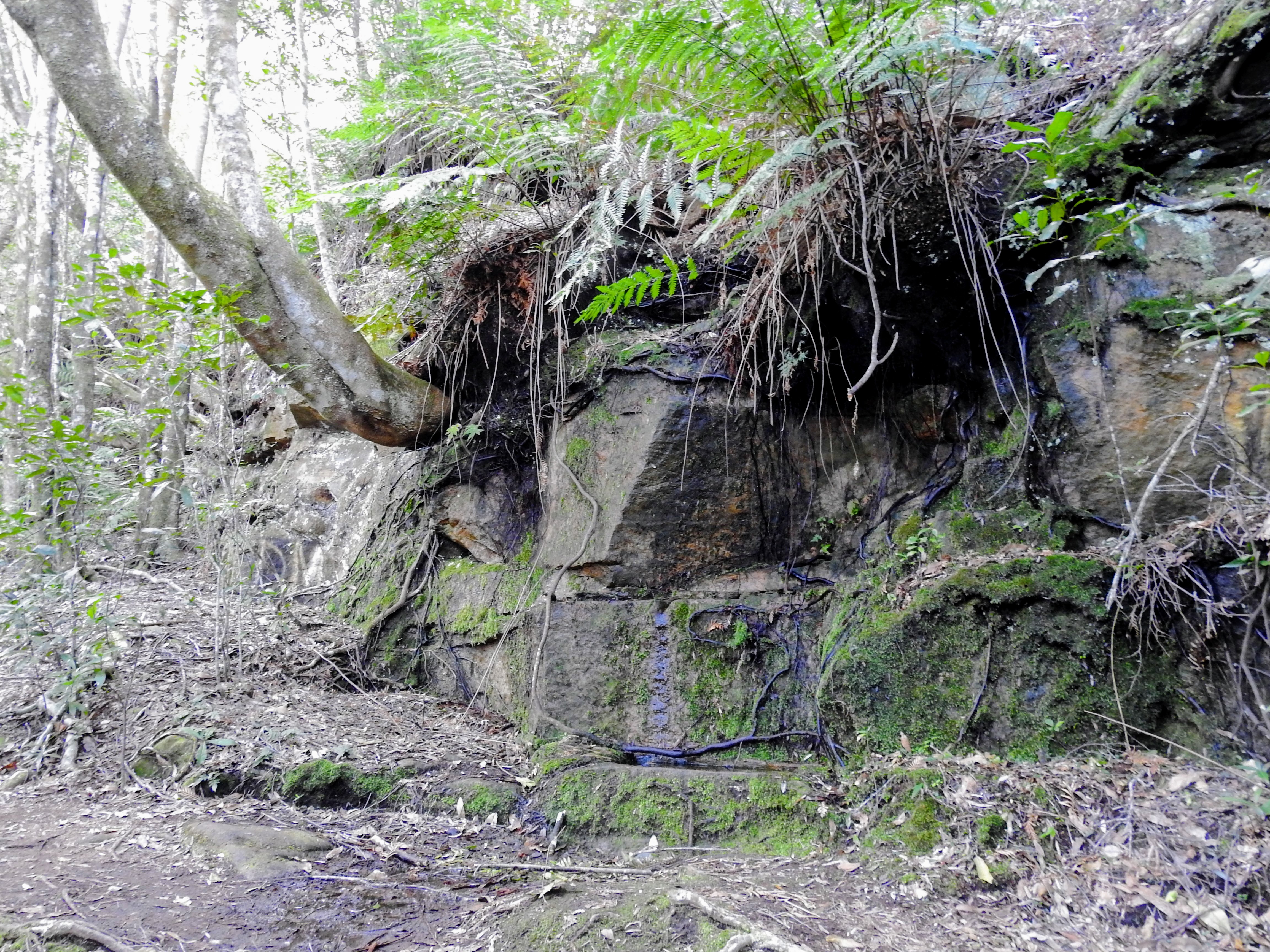
The trough from the Pass trail, keep an eye out!
You can follow the Pass from here as it flattens slightly in sections until you reach the service trail where you will need to turn around at the end. There are multiple signs here telling you it’s Waterboard land from that point forward, so I think the message is loud and clear – turn around!
The end of the Bong Bong pass, do not proceed pass this point
So if you want to get up to the lookouts, now you need a little to be prepared to get a little rough. Just before the water trough (if you went to the water trough, go back downhill on the trail) there is a large sandstone outcrop almost on the trail, it’s here that you turn right and head off the main trail and up towards the lookout. There are scratched out arrows on rocks around this section, some to help – others I’m sure to put you off the trail! You will note some well trodden paths going up the steep section, be sure to follow the existing trailways rather than going off trail damaging the plantlife in the area.
Turn off to proceed to the summit off the Pass 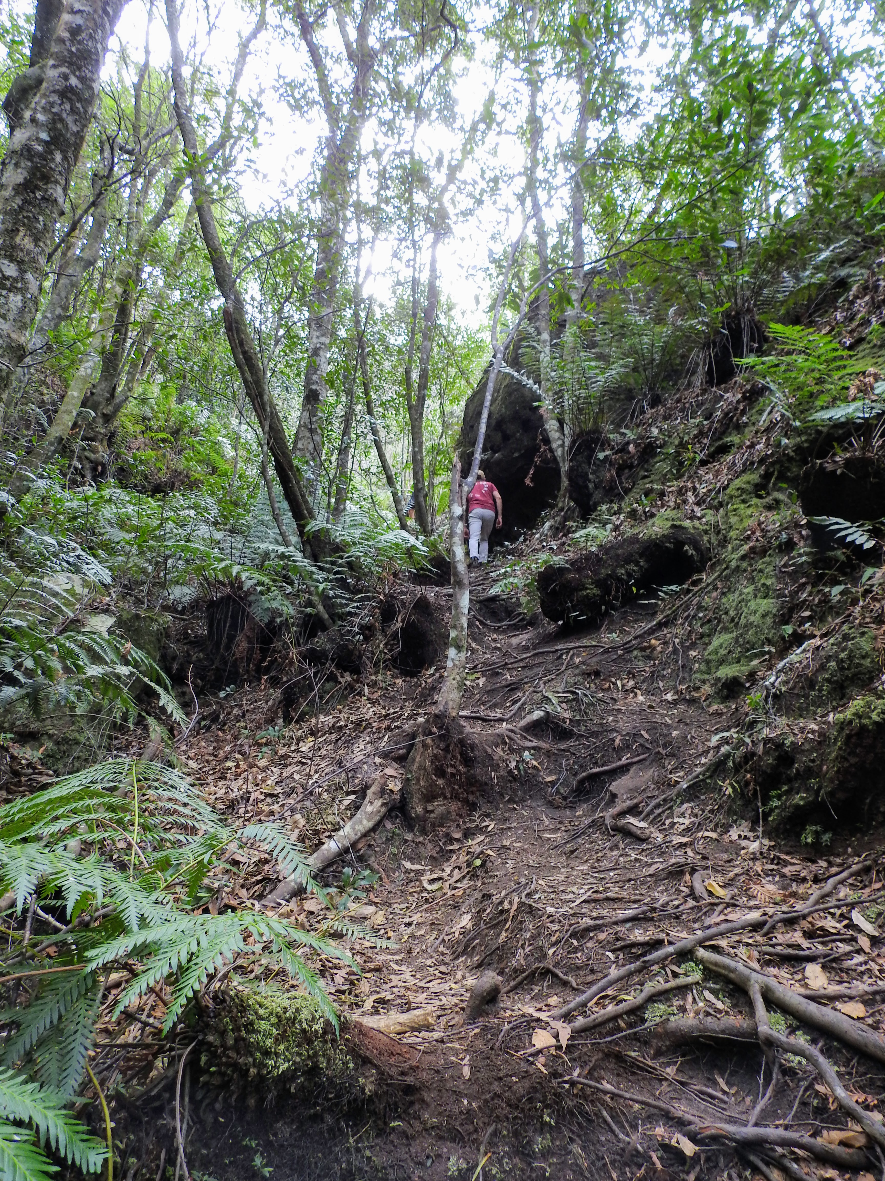
Looking up from the Pass, where the turn off is to summit
From this point, guidance is difficult to give, there are plenty of well trodden pathways, so follow them, if you reach a dead end, turn around and try another path option. You will make your way around some beautiful lookouts and rock platforms with vista’s south towards Kiama. Wind gusts are very unpredictable so take extreme caution near ledges and cliffs. The pathway splits and weaves as you navigate and climb your way up to the plateau at the top of the mountain. Take your time, not only with your footing, but to take in the beautiful views and also the changing flora.
Southern views as you start the ascent 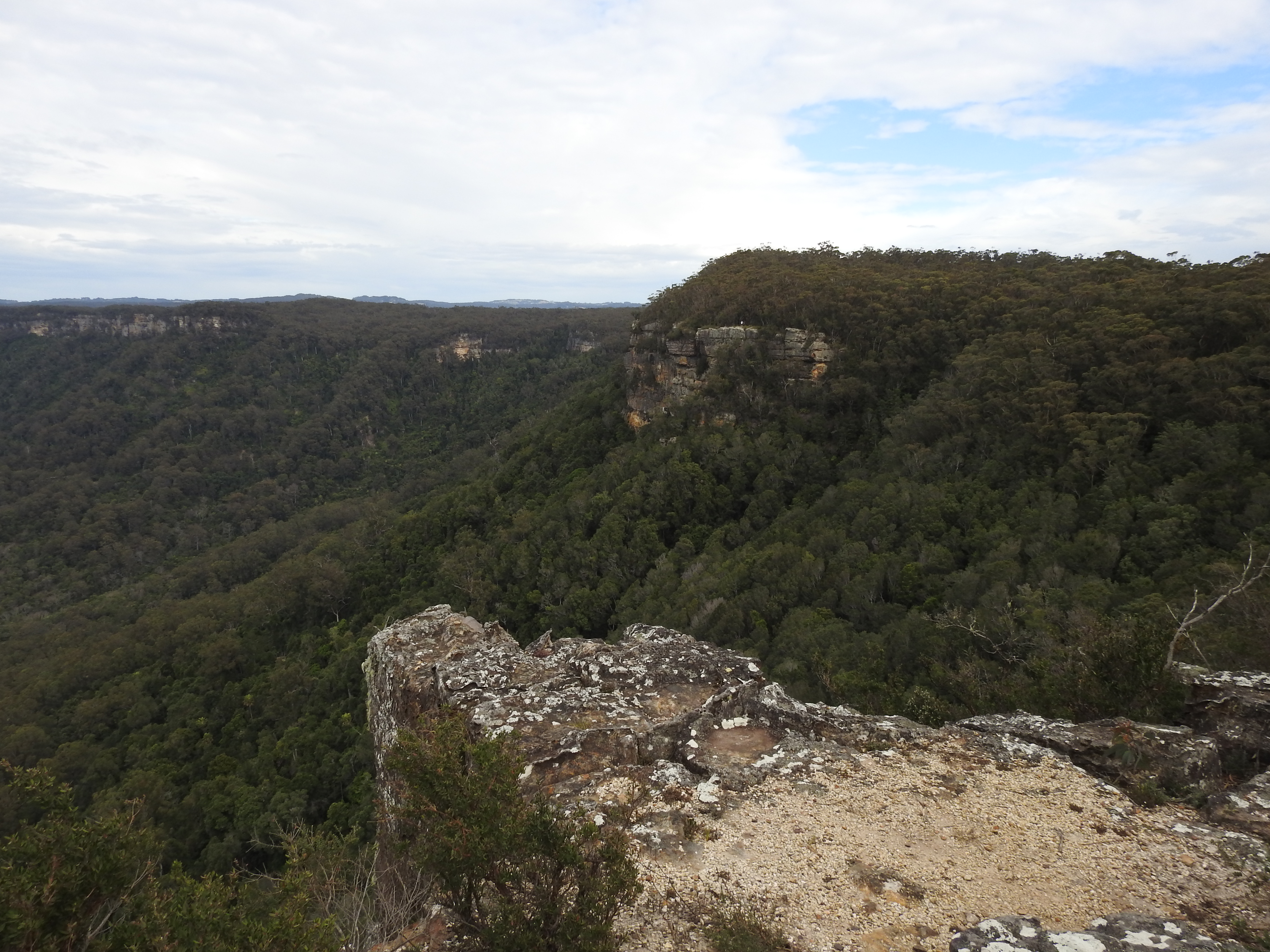
Iconic lookout point 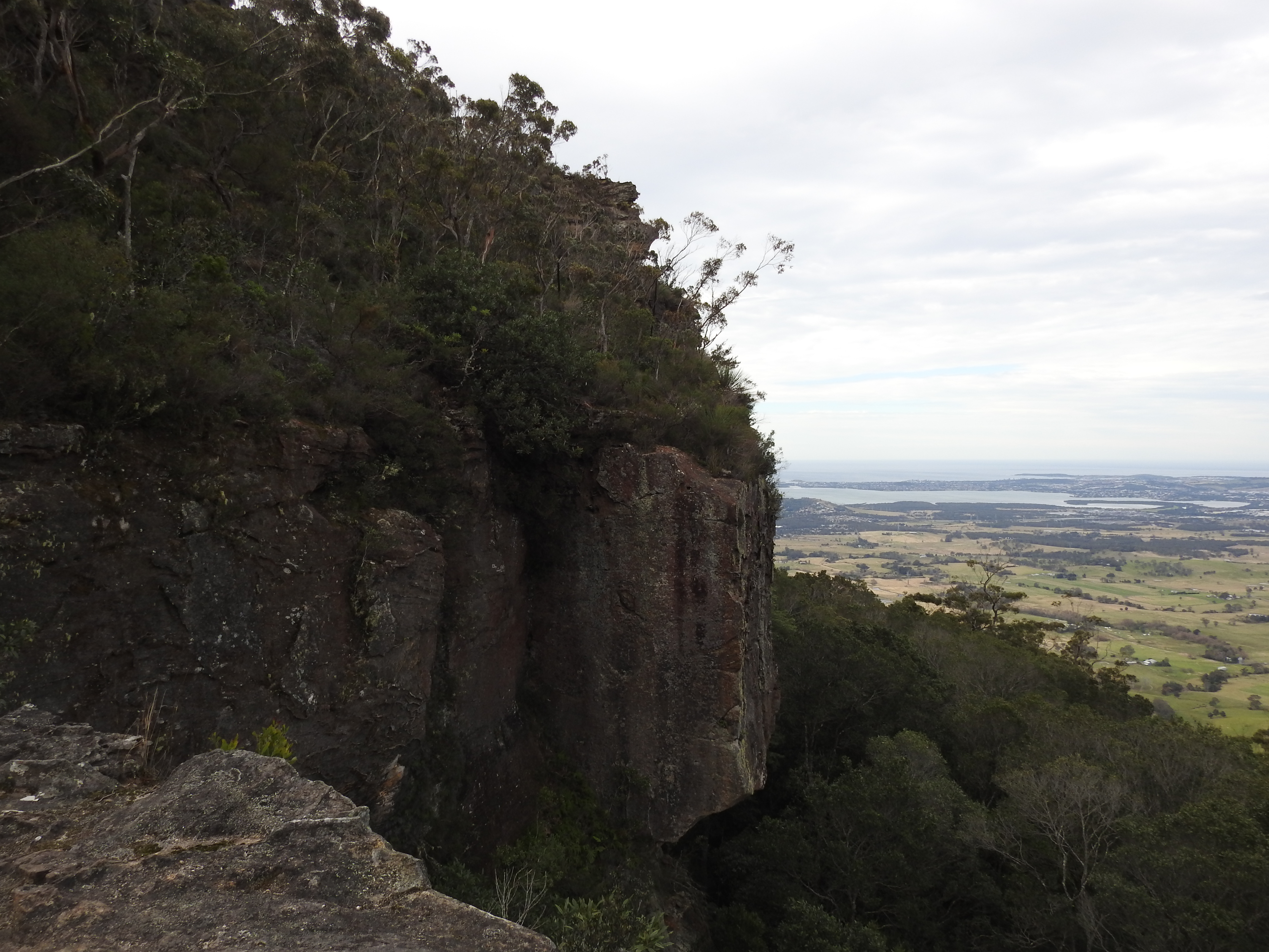
Looking East from the Southern side 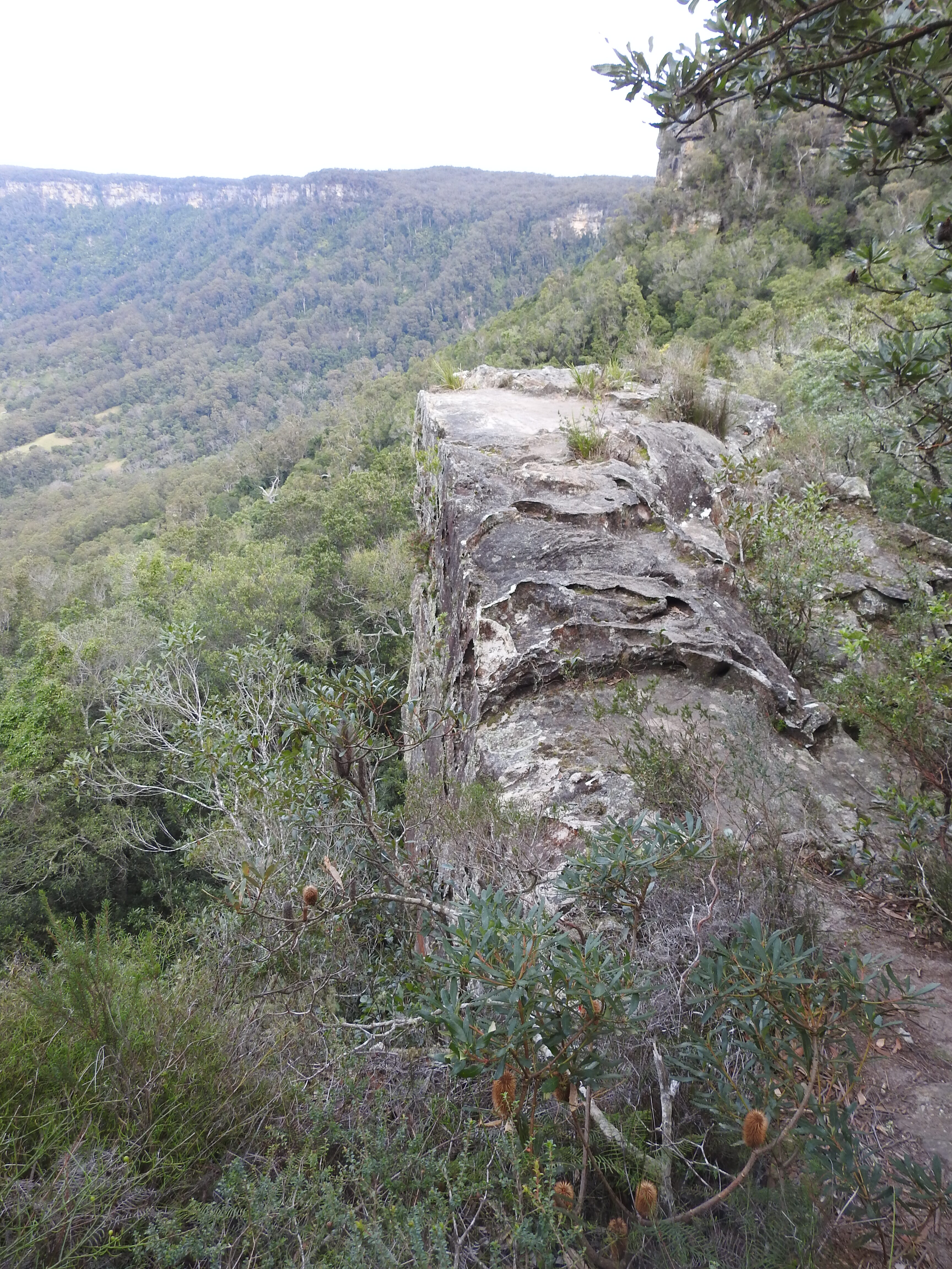
Southern vegetation 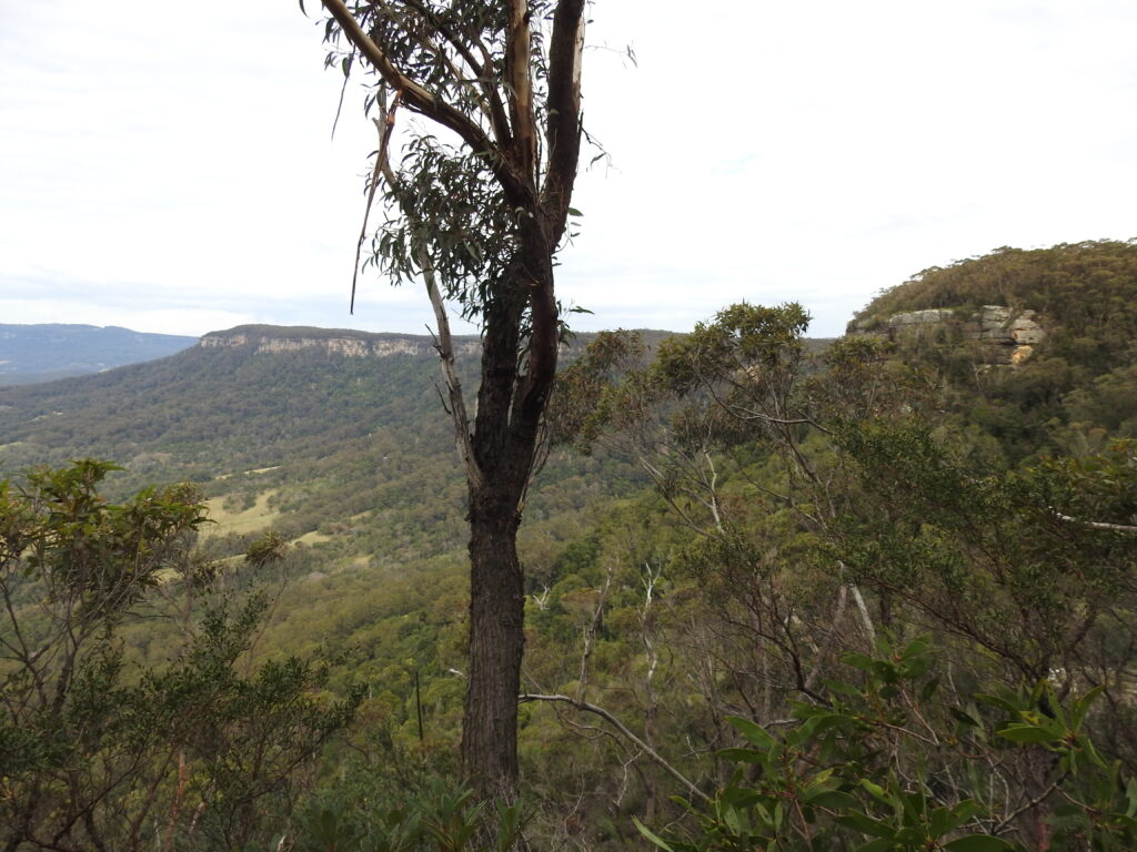
The ascent to the summit 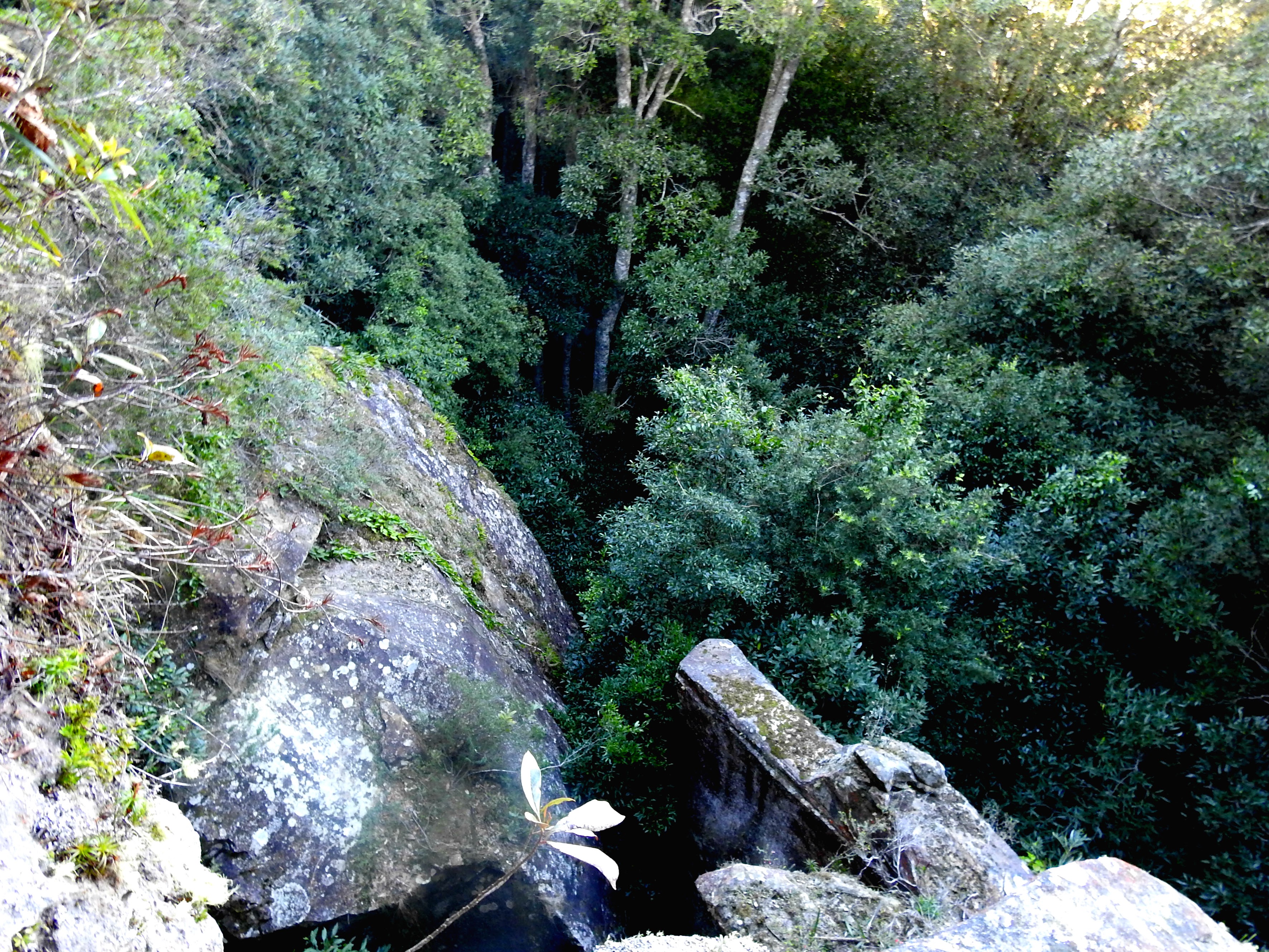
Views down onto the Pass below
WARNING: The section of the trail to the summit lookout is not for beginners. Please don’t attempt this part of the trail unless you are an experienced bushwalker and can negotiate tricky rock sections and can navigate. This section can be dangerous for the unprepared. It is advisable to go with an experienced guide.
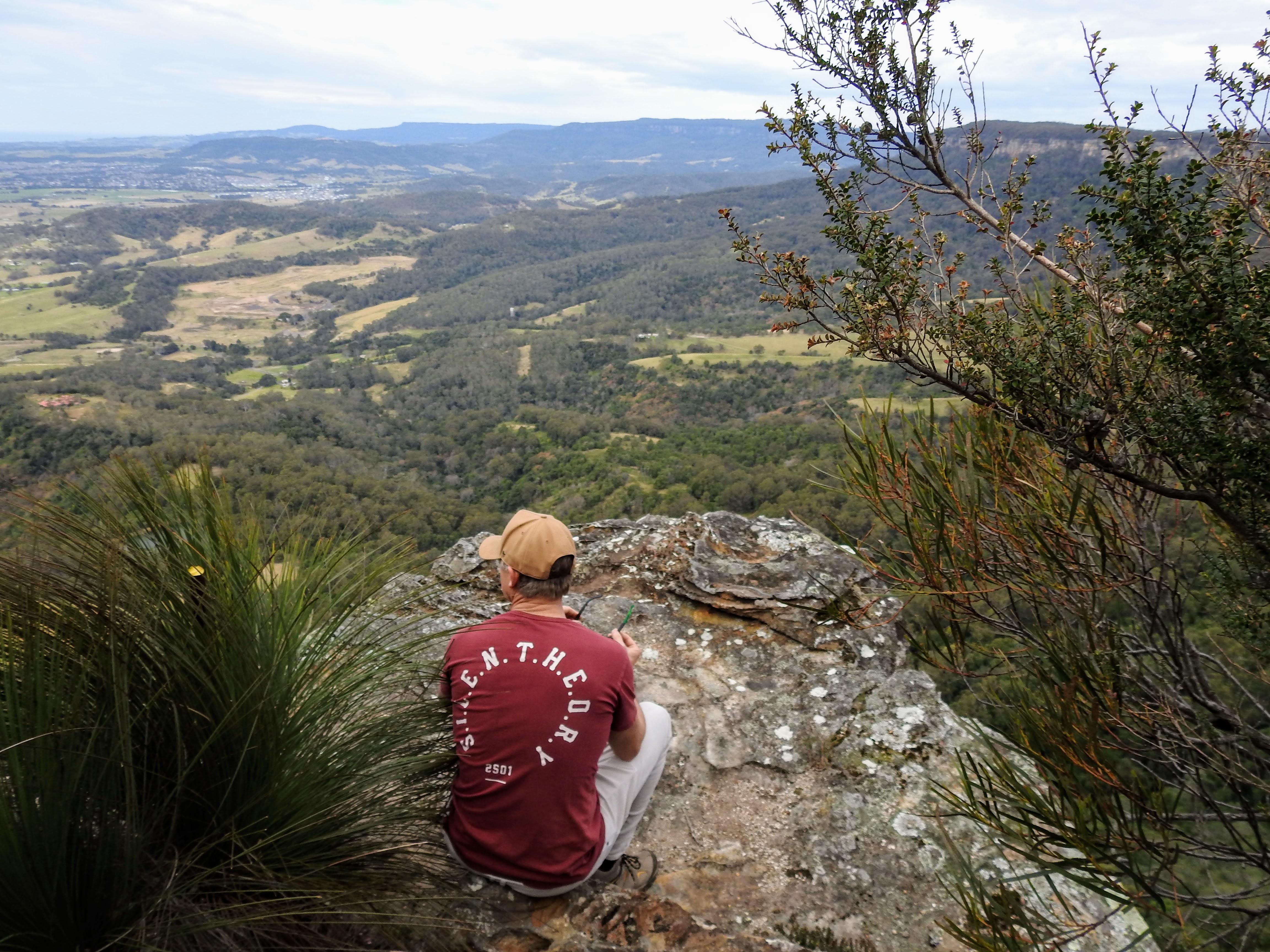
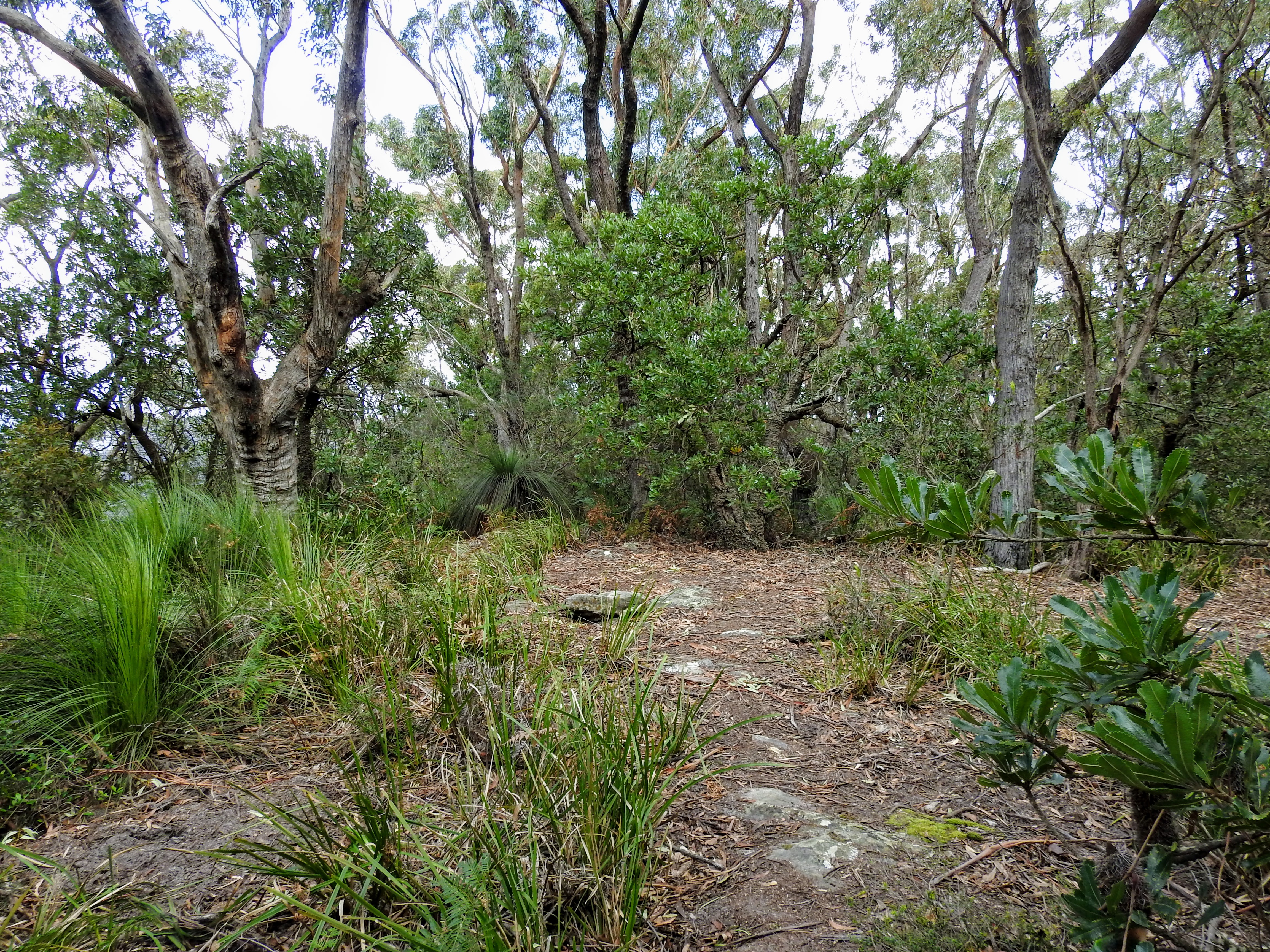
Once you reach the top of the escarpment you are greeted with a change of scenery, enjoying Banksia’s and Xanthorrhoeas, Isopogans and Epicris – depending on the time of year a wonderful display of colour and textures! At the top of the mountain platform, there are rough trails winding in lots of directions. Many of the plants are spiky, so long pants are recommended. If you stay close enough to the cliff edges (as in far eyesight, but a fair distance for safety) you can make your way around to explore the Northern Lookout. You also will not risk trespassing on Waterboard land, public access is only on a thin stretch that hugs the cliffline. Do not attempt to explore further West, with risk of significant fines. The trails will lead you here to these natural sandstone rockplatforms, it’s a stunning view of the Illawarra and a beautiful spot to take a rest and enjoy the break from the ascent. The views to Mt Kembla are particuly stunning.
Open trail section at summit 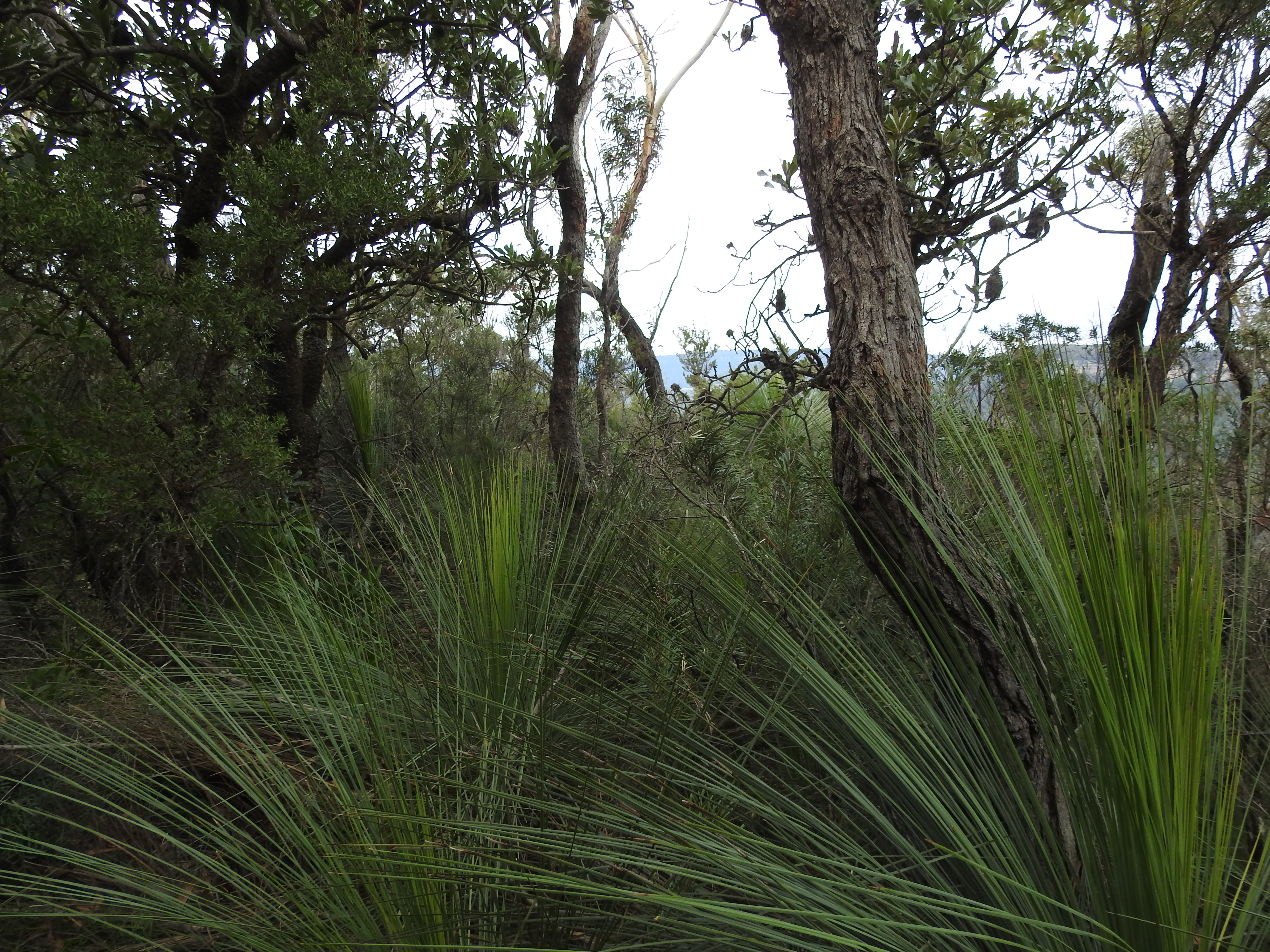
Large Xanthorhoea 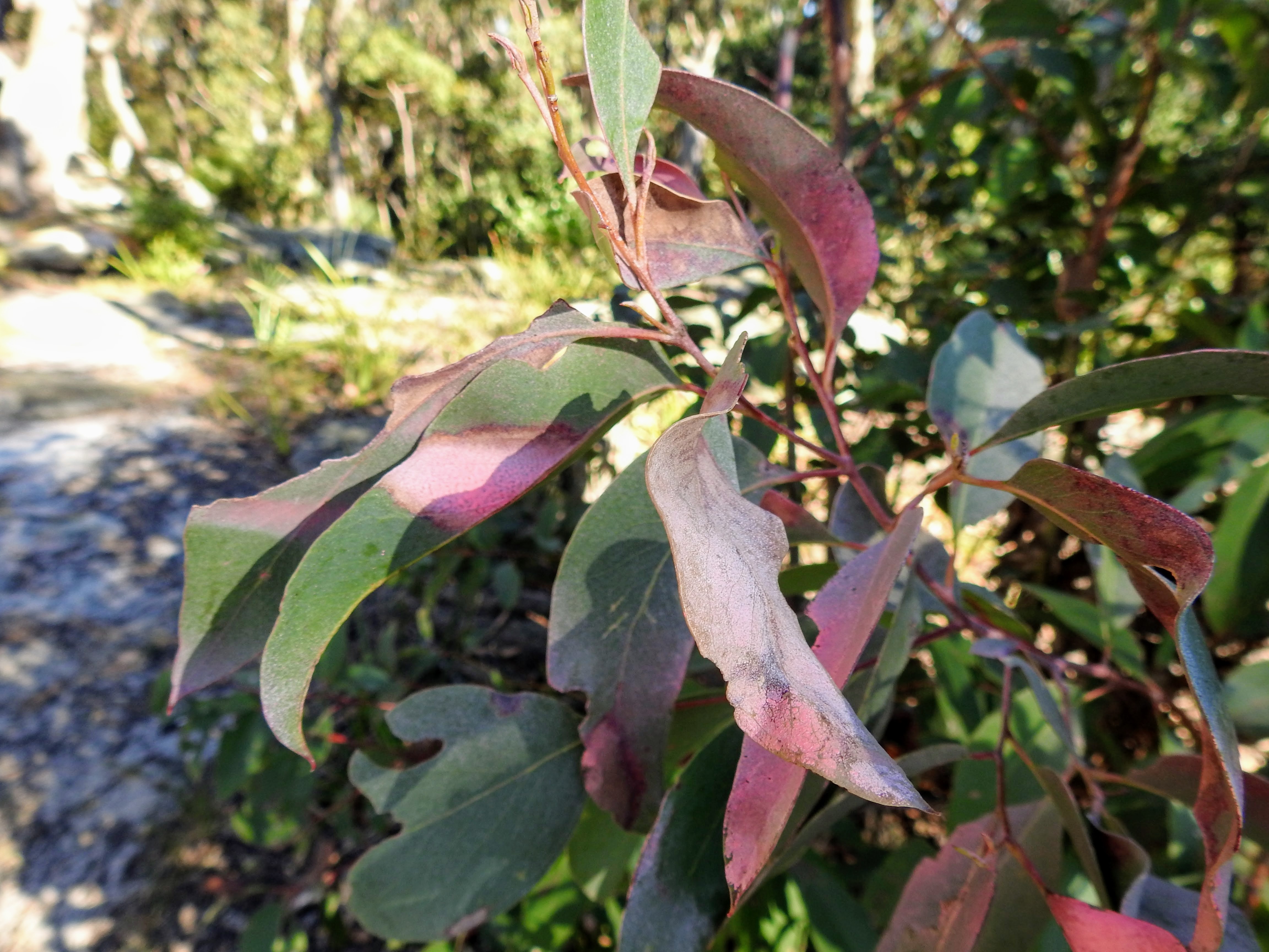
Vibrant Eucalpt 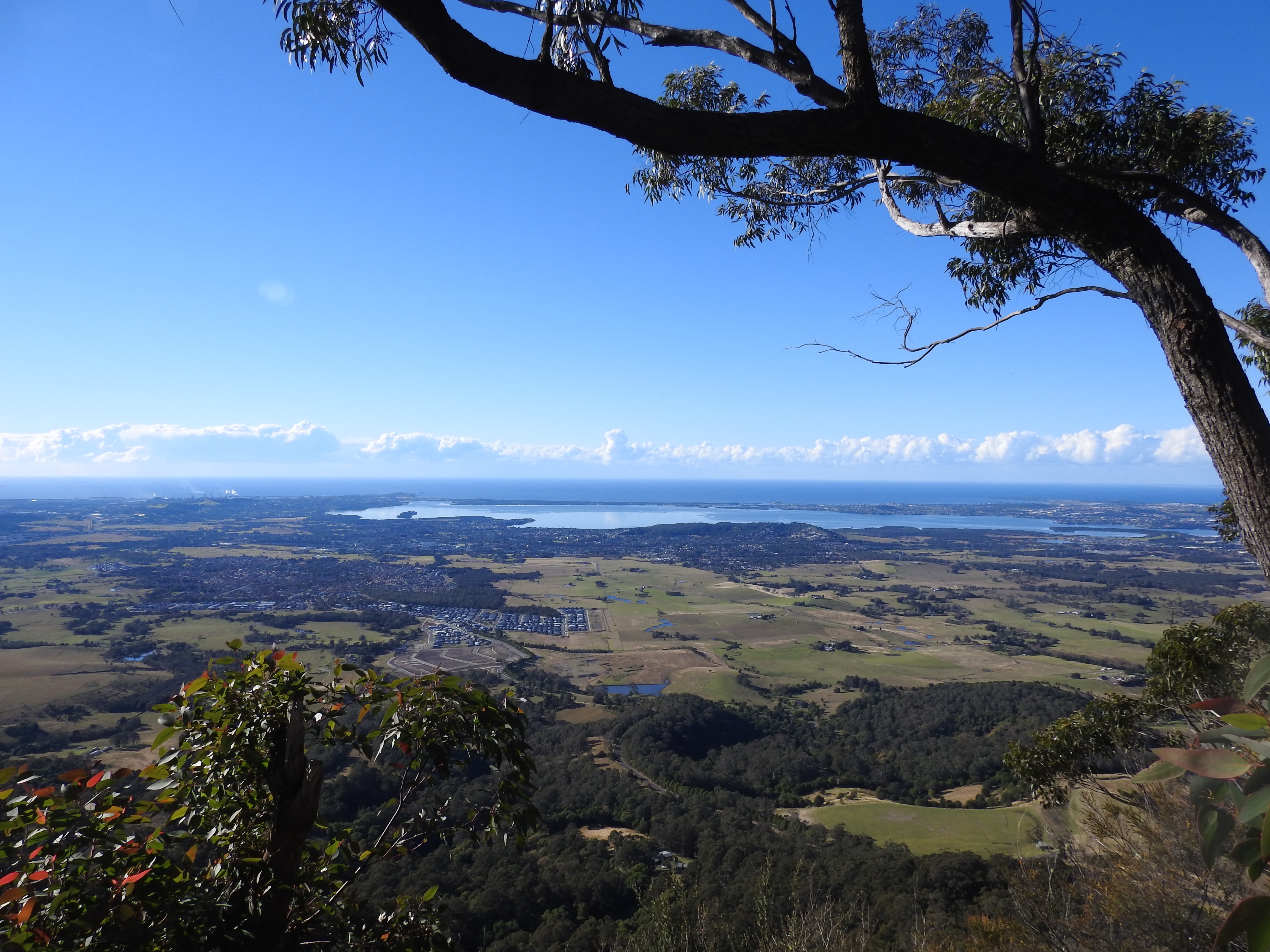
Views to the East 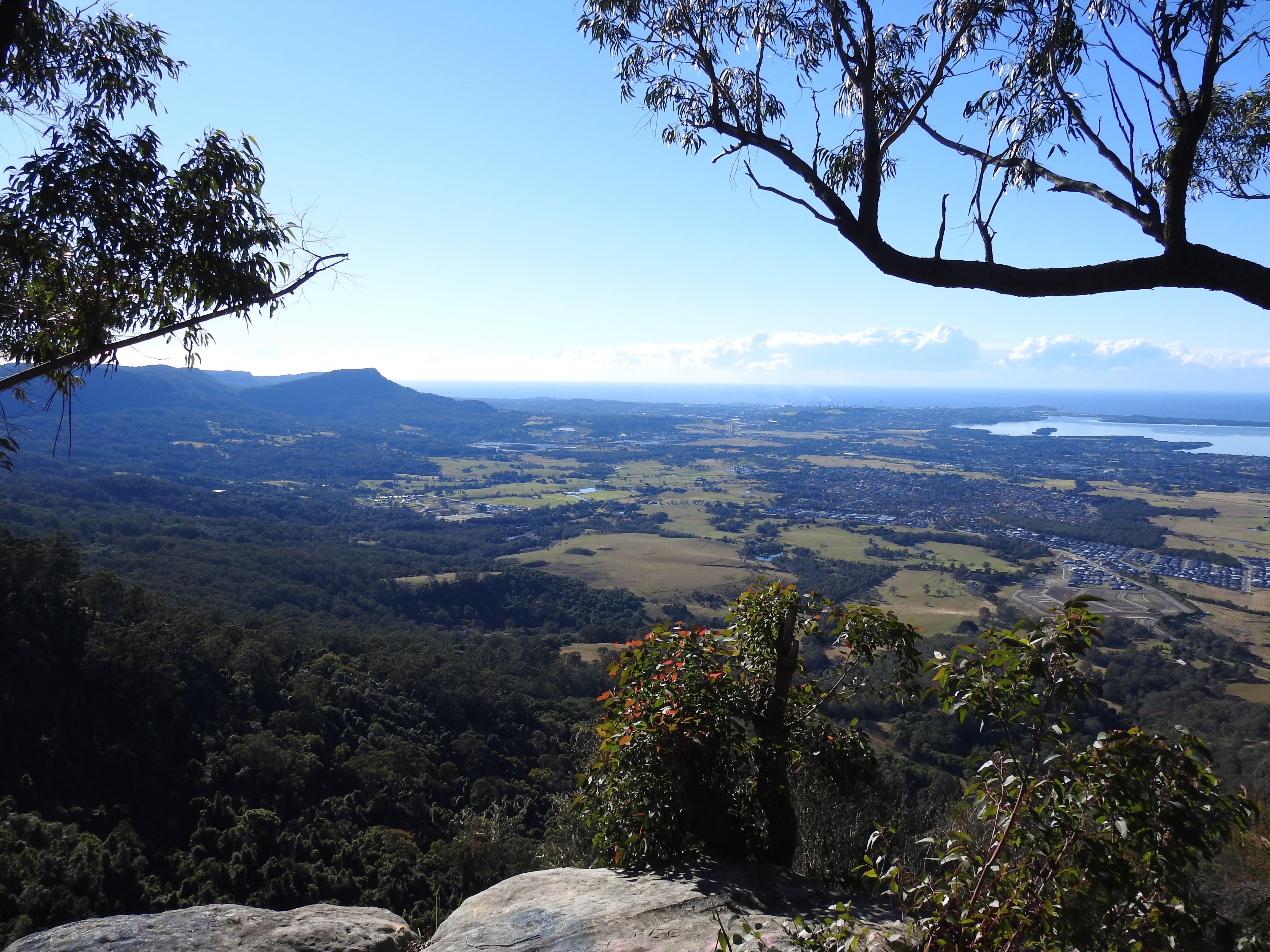
Magnificent views to Mt Kembla and beyond 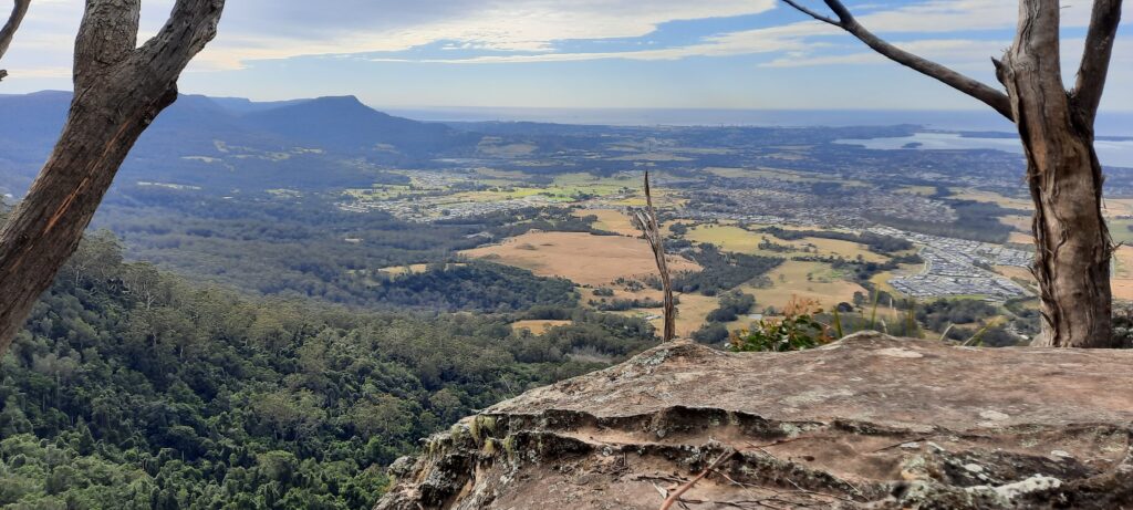
Looking North 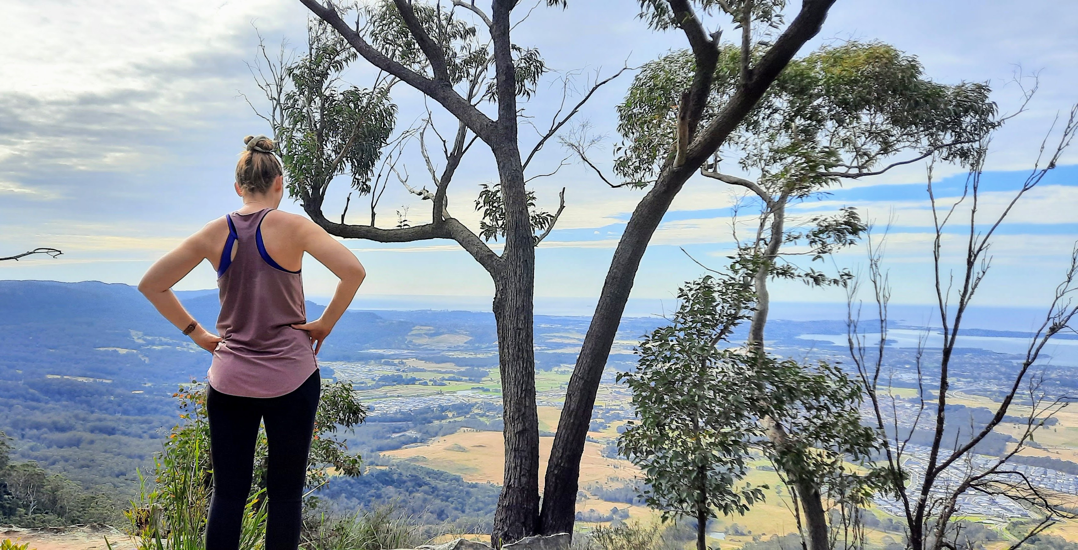
Admiring the view
After you have had a sufficient break in the sunshine (hopefully!), simply return the same way you came, again, most trails will lead the way back so don’t get stressed if you take a different path back. Going back down can be just as tricky as the way up, lots of loose rocks and steep descents make it a tough workout, tough on the knees and unsteady underfoot. Take your time.
Parking and Transport:
There is no public transport, just follow Bong Bong Road from Dapto until the end. Please don’t park in driveways or across gates. Respect surrounding private property.
Directions:
Google maps does not mark this track, however the map will show you the parking spot and approximatley where you leave the main trail to do the ascent to the lookout areas.
Trail Advice:
This trail is steep on the way in and out. So people with knee/ankle issues or poor fitness will struggle. There are steep drop offs in some sections so ensure safety at all times. There is a high chance of leeches in this area being a typical wet forest, so take adequate protection when it is wet. The rocks and loose dirt can also very slippery and unsteady underfoot, with a strong risk of spraining ankles or falling, so take your time, check your footing before you put your weight down. There is surrounding private property, so don’t divert from the trail or risk trespassing charges.
NOTE: If you are looking for the Bong Bong Mountain airplane crash site, this is not the guide. The crash site is on private property and you will require permission from the owner, in addition to guidance from a knowledgeable guide. It is extremly rough and requires expert navigation with GPS. It is not something you will just stumble across, even guides who have been there +20 times still use GPS. Do not attempt to find it without risking a trespassing charge or serious chance of being lost and requiring rescue.
Signage and Track Condition:
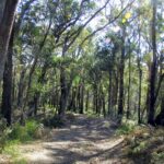
There is no signage on this trail other than signs pointing out private property. The main track is easy to navigate and it is clear, simply follow it up…and up…and up. Reaching the summit requires bushwalking fitness, confidence and general navigation skills.
Data & Cellular Coverage:
There is limited coverage on this walk. Always carry a basic first aid kit in case of an emergency and ensure you let someone know where you are going and when you expect to return.
Demographic:
This track is great fun for families with older children, there is plenty of interest along the walk. It is very, very steep, so reasonable fitness is critical for this walk. Anyone who is unfit should not attempt this walk.
Fitness:
Want to know where you are going to hurt the next day? This track will use your quads, calves and glutes mostly, you are going to feel the burn. Cardio fitness will kick in immediately until you reach the end. In general, expect some minor hurt the next day if you are not super fit.
Hiking Grade: Grade 5
Not a long walk, but very steep and rough rocks underfoot. No signage and some drop off sections that create hazards. This trail is recommended for fit and experienced bushwalkers. Not suitable for beginners.
Distance and Time:
I like to do this walk in under 2.5hrs so I can take in the sights and enjoy the views, but I’m sure you could do it in about 2hrs. The distance is relatively short at about roughly 3kms.
Pollution/Rubbish Status: Grade 3
The start of this walk can be heavily littered, but then it does get a bit better.
Please ensure you take a garbage bag to collect rubbish, and don’t forget to take a photo of your collection and tag us in #bushwalkthegong #cleanupgongsbushland – let’s spread the word that littering in or around our bushland areas is NOT OK!
Prohibited:
All dogs (except for assistance dogs), bikes and smoking – and alcohol. Hunting in this area appears to be a major concern also – again, prohibited. No camping.
References:
Wollongong Library – Avondale Suburb Profile
Royal Australian History Society – Illawarra-1788-1888
Illawarra and South Coast Aborigines 1770-1900, Michael K. Organ, University of Wollongong,