Adding to the suite of walks in the Mt Kembla region, the Mt Kembla Ridge Trail takes the prize for stamina, steepness and fitness. The track is on a service trail which allows for wide paths and steep inclines and declines, making this one of the best fitness walks around. If you are a trail runner, this is an epic trail that deserves your attention, if only for the challenge of those hills!
The walk starts up past Mt Kembla Lookout, following the dirt road up, great if you can find a car park near the gate but not in front of it. If there are no parks available noting, this is not a designated car park just street parking, your next best option is to park back at Mt Kembla Lookout and walk up the road.
NEVER PARK in front of service trail gates. This is a lifeline for rescue and emergency vehicles in case of a medical or fire emergency. Significant fine apply for breaches.
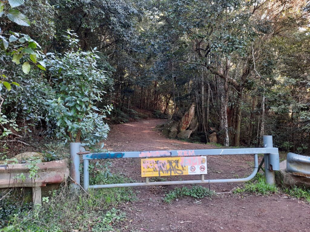
Simply walk around the service gate to start the Mt Kembla Ridge Trail , you may even be lucky enough to be greeted by the massive penis, then you know you are in the right place!
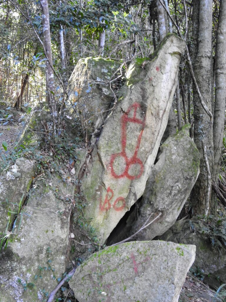
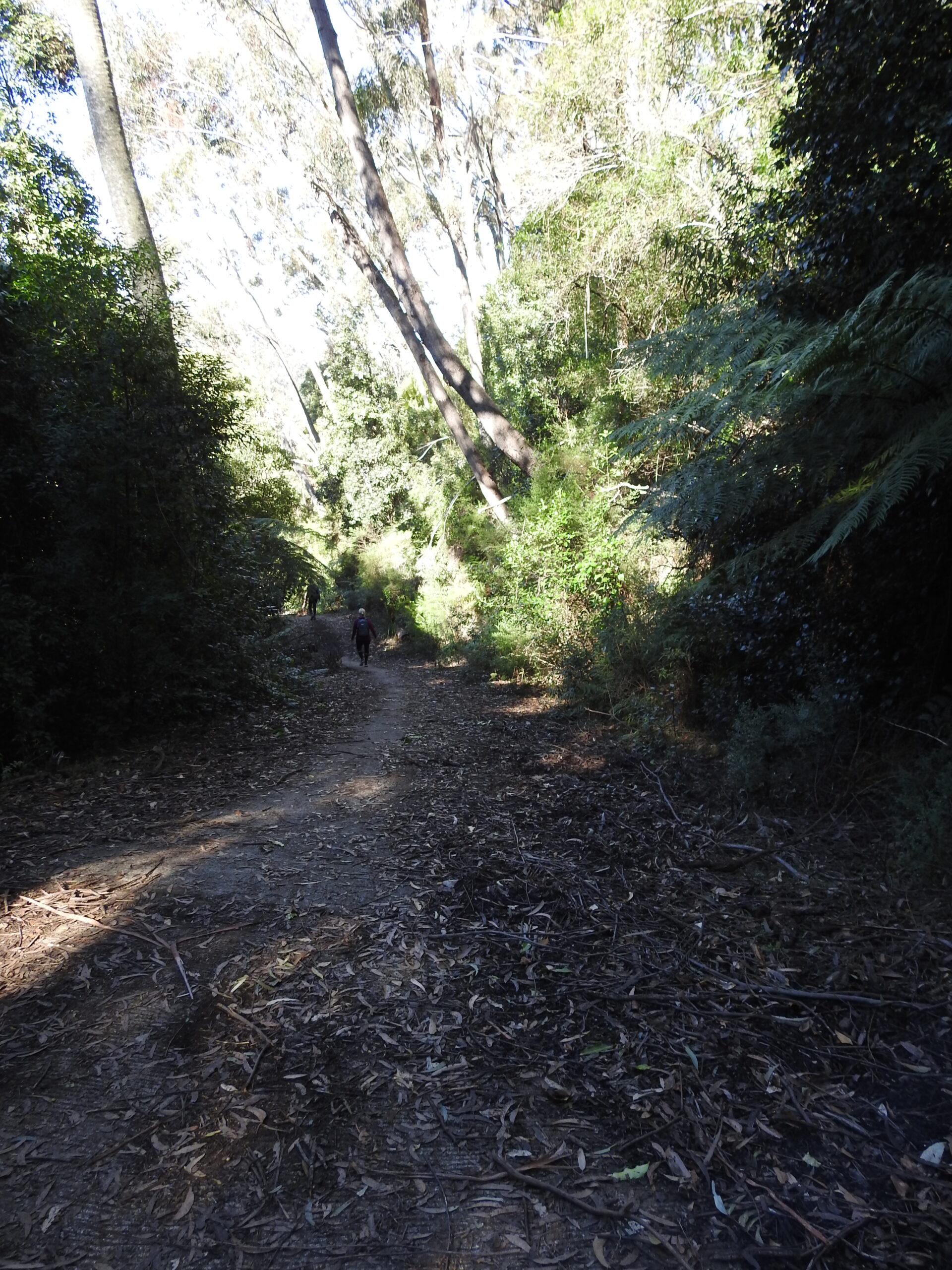
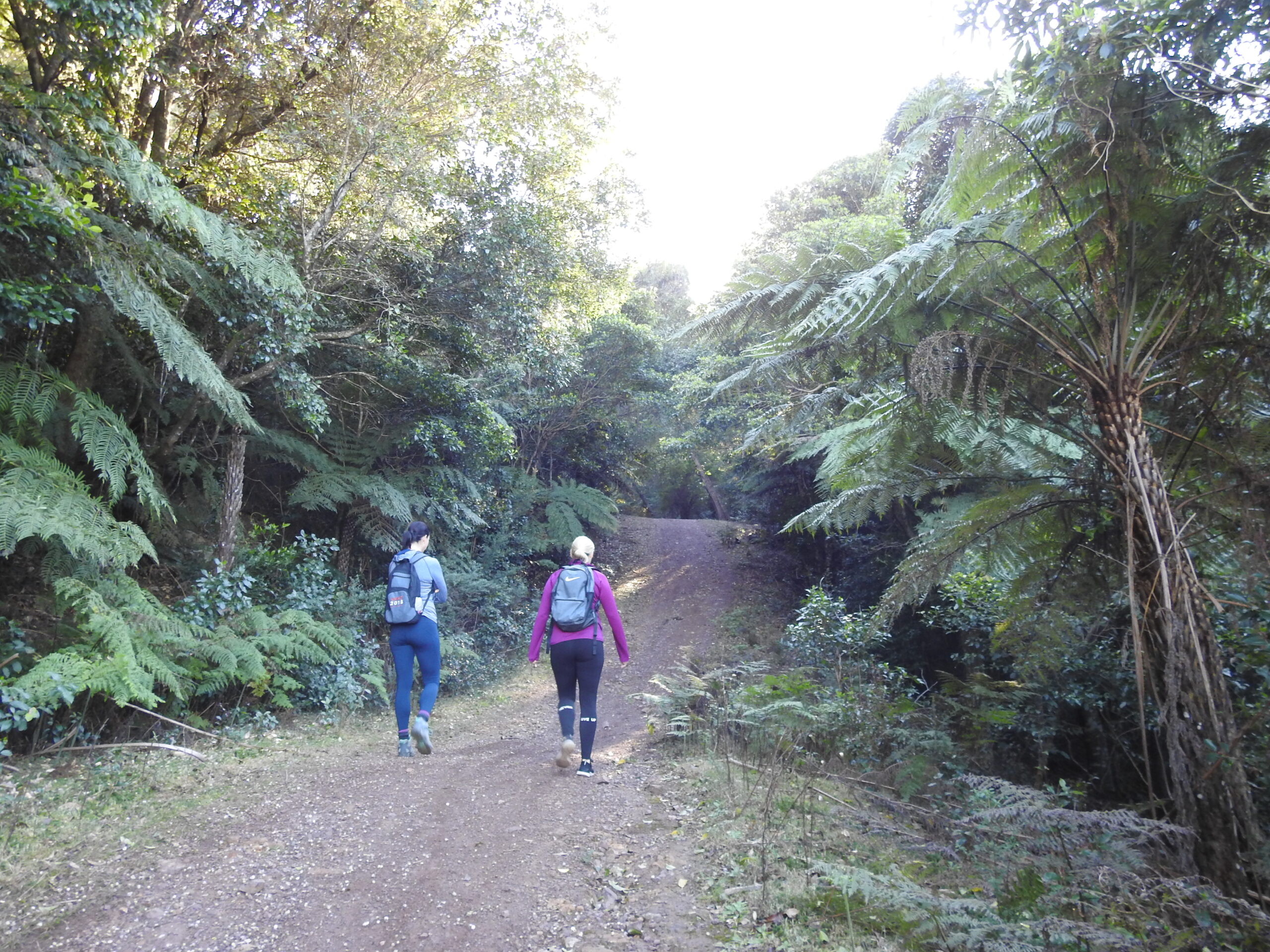
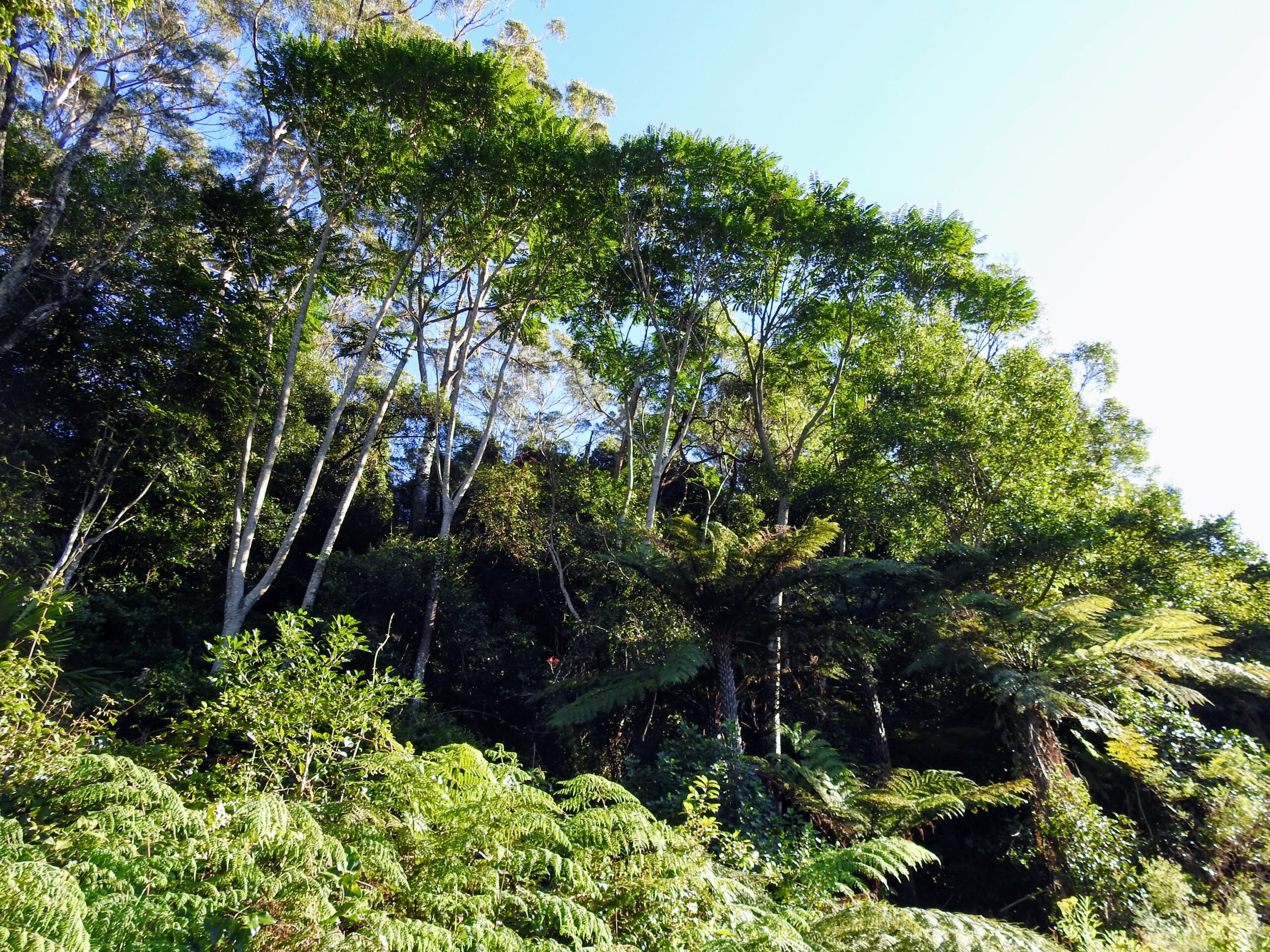
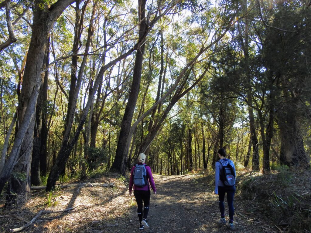
Once you’ve managed to peel your eyes away from the giant red doodle, you can continue on the large sweeping trail, taking in the beautiful rainforest around you. The forest enwraps you here, with tree ferns creeping over and above you. A little bridge over a creek and life is looking blissful and peaceful…
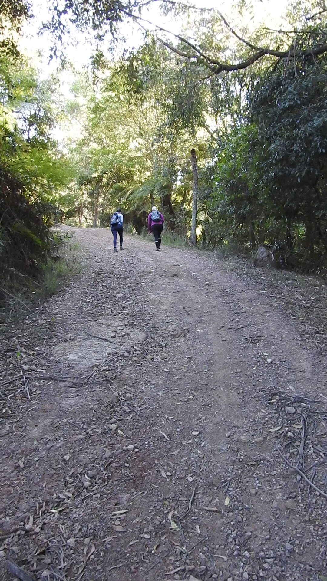
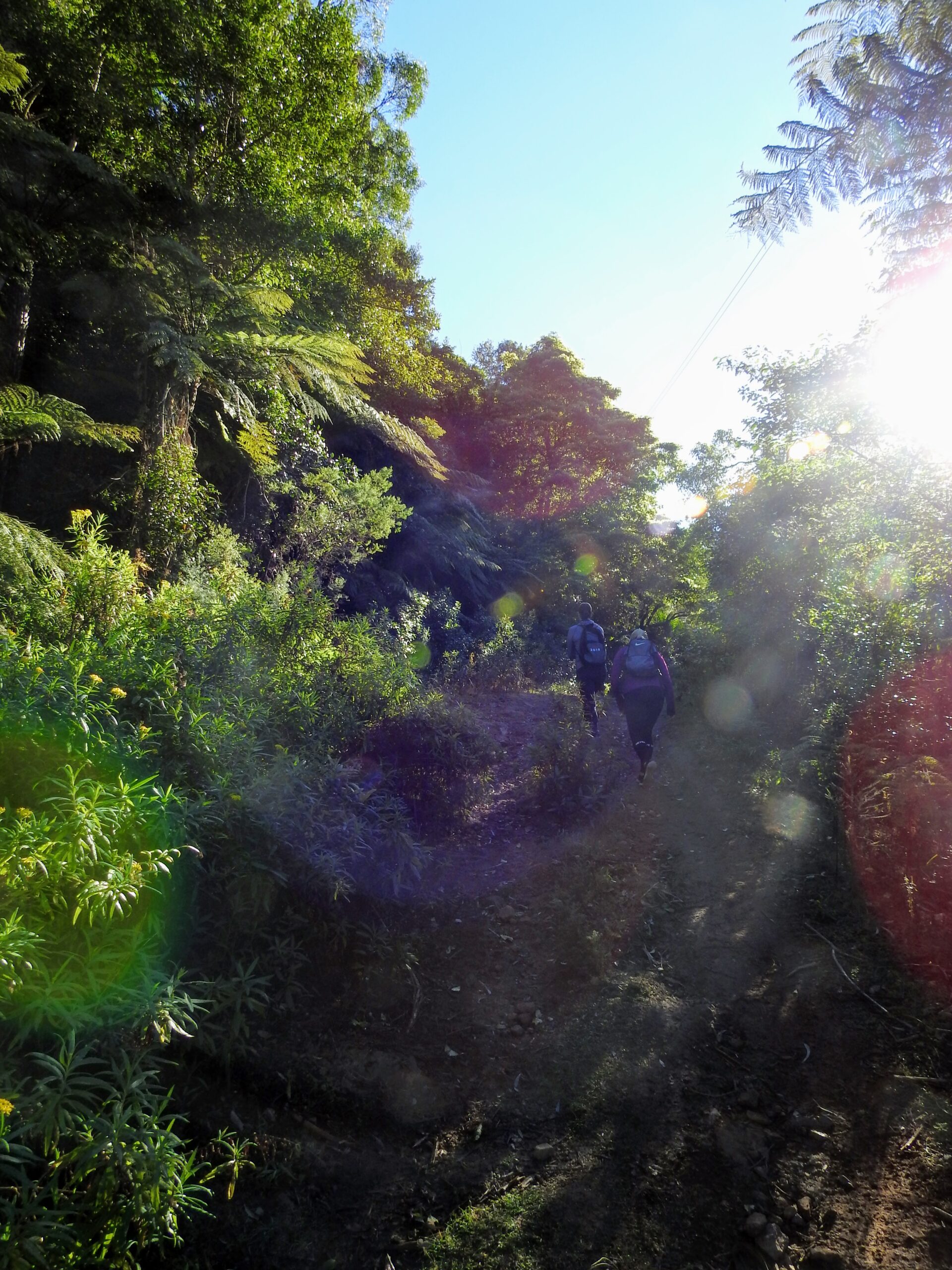
Oh until… you turn a corner and you start to realise why this is an endurance walk. Hills and hills, around a bend and more hills. The path is ridiculously steep, consisting of both cement corrugations, thankfully or you’d never get your grip on that angle, and dirt paths – expect to “roller-skate” on gravel on the downhill – think marbles on the floor in the cartoons!
Photos could never truly show the steepness of these hills… and how many there are! Take the Mt Kembla Ridge Trail on at your own risk!
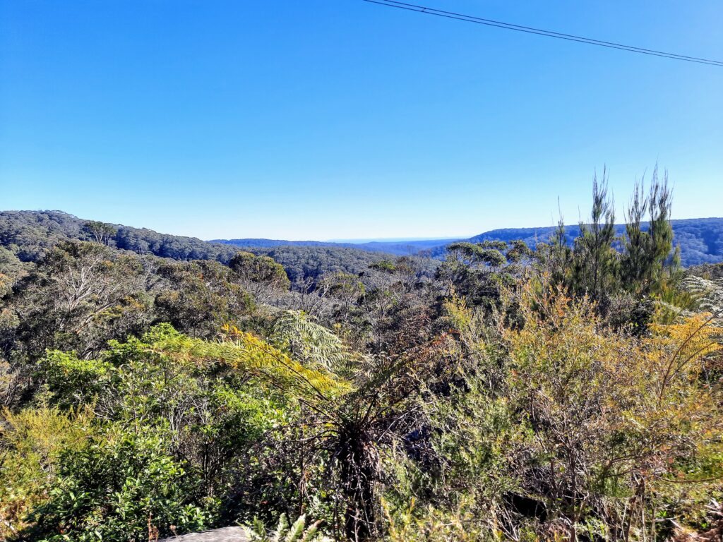
Once you start to reach the top of the escarpment, you can start to see views over the old Cordeaux River Valley, West of the trail. The old community was rich in agriculture since the 1850’s until the last of the local families left in 2007 with the land being handed over to restricted access under Sydney Waterboard Management.
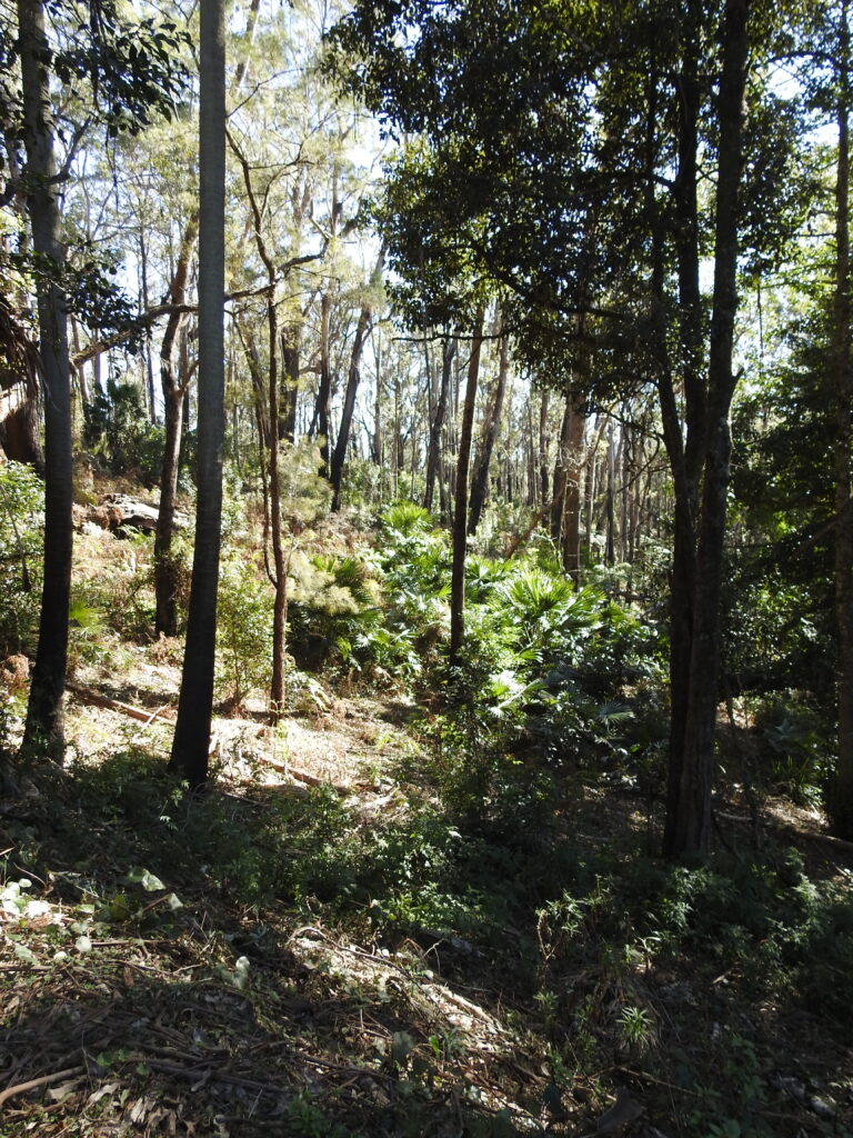
At this point the vegetation starts to change and you may start to notice some spring flowers beginning to show. Looking East, there are also some sneaky views back to the Illawarra and the ocean.
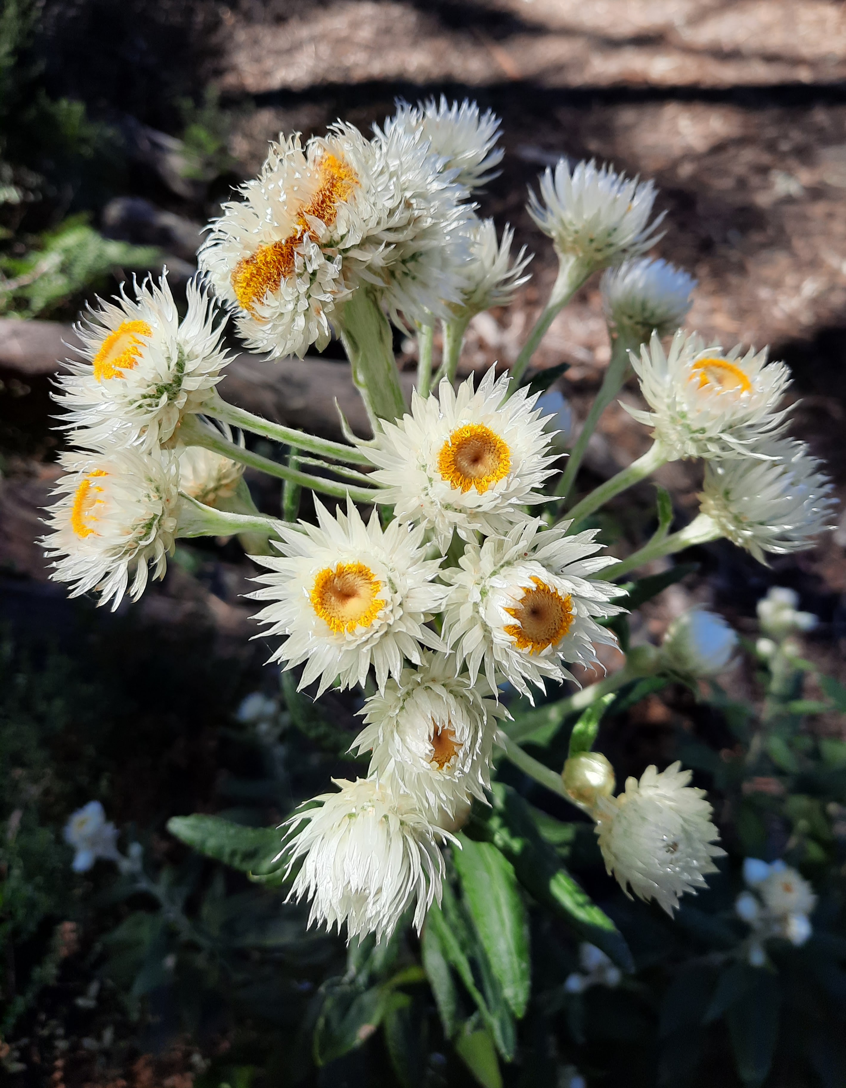
Coronidium elatum (common names include White Paper Daisy and Tall Everlasting) 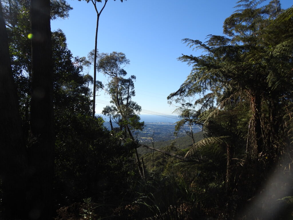
Views over Wollongong
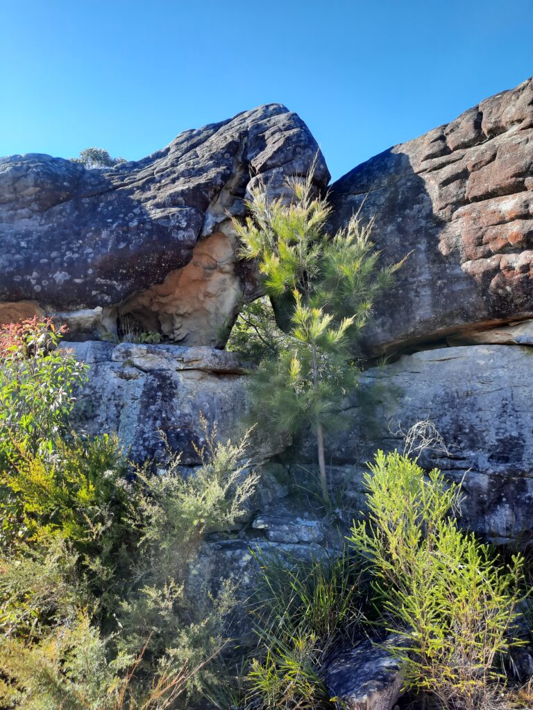
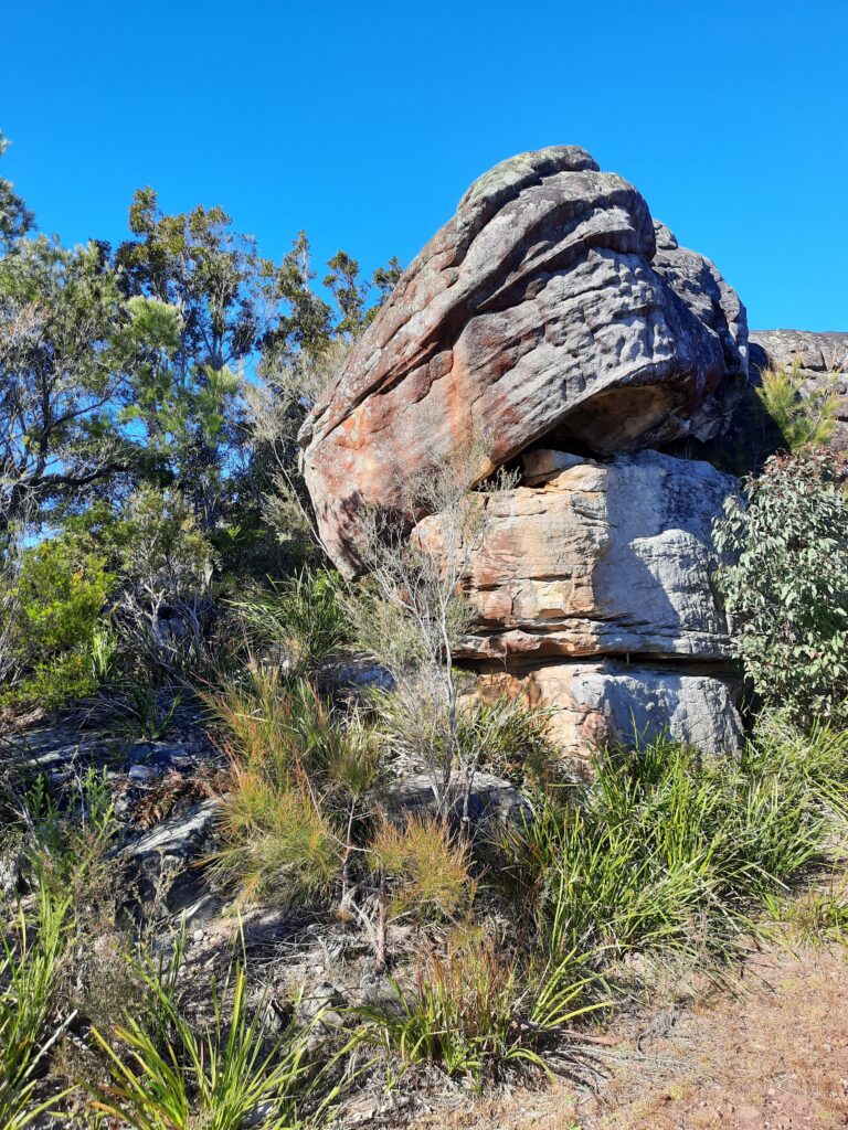
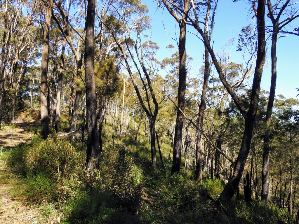
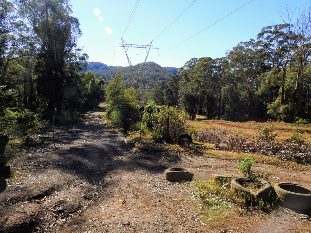
As you make your way up, yes still up, you will come to the first power lines. This walk’s drawback is that it basically follows power lines, which means your photos are definitely going to have powerlines throughout them! Continuing along the trail you will reach a spectacular rocky sandstone outcrop, complete with a trig point on top – a fixed survey point that indicates that you are at the highest peak of a mountain or hill. Phew! Opposite, on a clear day, you will be able to gaze West to make out Mt Hay and Mt Banks which are in the Blue Mountains. The view stretches over Waterboard land, so don’t even think about venturing out off the trail.
The track continues with a series of up’s and downs until you start making the steep descent down to to Wollongong Motorcycle Club and also the another service gate, you can continue on the trail around the motorbike track, however it only leads to the road. From here you could continue through to Mt Keira via the road, or drop in to the Mt Keira Ring Track at Mt Robertson. For this guide, we only walked to the service gate.
From the motorcross track, you now simply turn around and follow the trail back up, and up and up and then down, and down and down again until you make it back to the start of the trail again. The way out is as certainly much as a punish as the way in.
Parking and Transport:
There is no public transport. Please don’t park in driveways or across gates.
Directions:
Follow Cordeaux Road from Mt Kembla village until you reach the service trail gate. It is highly graffitied, but it’s the first service trail gate on the right after Mt Kembla lookout. A bonus is that Google maps marks this track, however it is very easy to navigate as the track is a service trail i.e. a dirt road.
Trail Advice:
This trail is steep on the way in and out. So people with knee/ankle issues or poor fitness will struggle. The rocks and loose dirt can also very slippery and unsteady underfoot, with a strong risk of spraining ankles or falling, so take your time on the steeper sections, especially on the downhill. There is surrounding Waterboard land, so don’t divert from the trail or risk serious trespassing charges.
Signage and Track Condition:
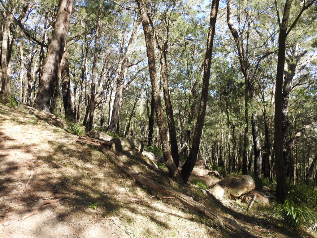
There is no signage on this trail other than on the service gates. It is a dirt road for the entire trail, so there is no need for navigation. The track is in good condition with cement corrugations on the particularly steep sections which helps immensely for grip underfoot.
Data & Cellular Coverage:
There is limited coverage on this walk. Always carry a basic first aid kit in case of an emergency and ensure you let someone know where you are going and when you expect to return.
Demographic:
It is very, very steep, so reasonable fitness is critical for this walk. Anyone who is unfit should not attempt this walk. It is well suited for trail runners or those who are looking for a fitness walk.
Fitness:
Want to know where you are going to hurt the next day? This track will use your quads, calves and glutes mostly, you are going to feel the burn. Cardio fitness will go a long way here. In general, expect some minor hurt the next day if you are not super fit.
Hiking Grade: Grade 3
Easy terrain, but very steep. This trail is recommended for fit people, it is not required to have experience in bushwalking as navigation is easy and the trails are suitable for sneakers.
Distance and Time:
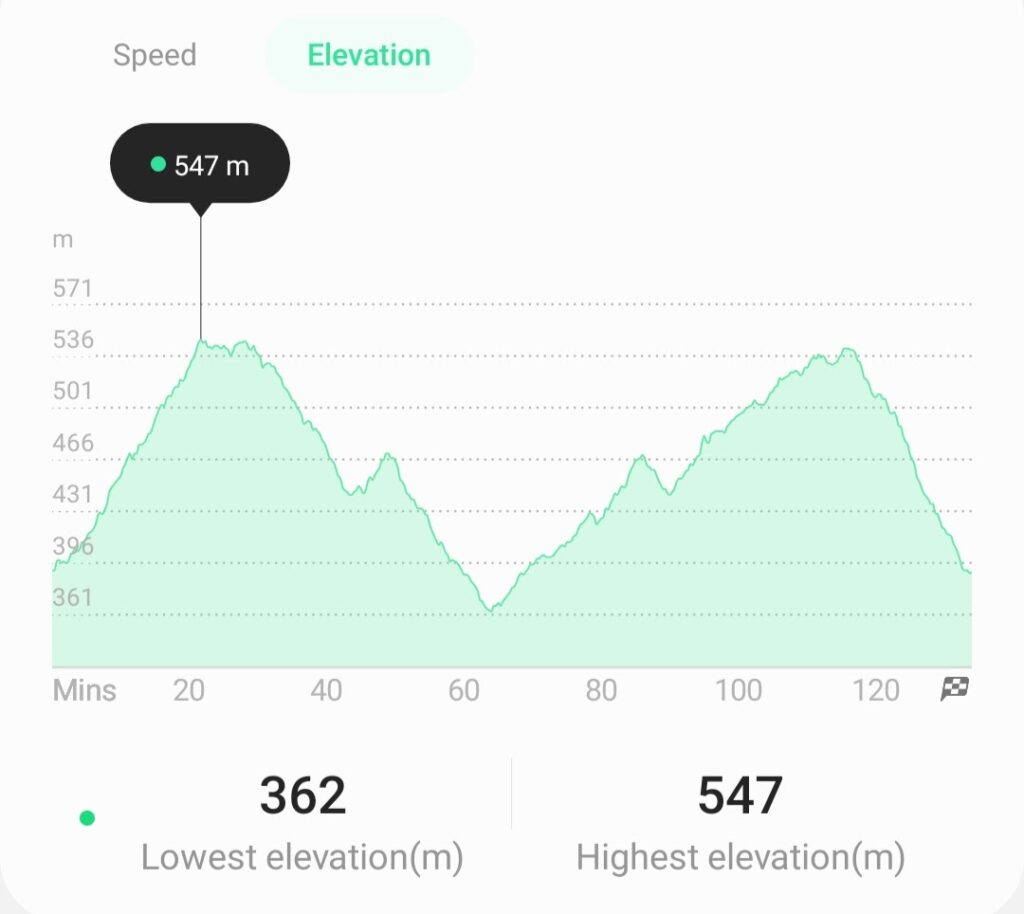
A 7.6km walk, taking approximately 2 hours at a steady pace and some sightseeing. This will give you an idea of the steepness of the walk.
Pollution/Rubbish Status: Grade 3
Other than some graffiti on the gate and the doodle tag, the track is very clean.
Please ensure you take a garbage bag to collect rubbish, and don’t forget to take a photo of your collection and tag us in #bushwalkthegong #cleanupgongsbushland – let’s spread the word that littering in or around our bushland areas is NOT OK!
Prohibited:
All dogs (except for assistance dogs), bikes, fires and smoking – and alcohol. No camping.
References:
https://kemblajottings.wixsite.com/kemblajottings/cordeaux-river
http://blog.growingillawarranatives.org/
Trail Guide: Mt Kembla Summit
Trail Guide: Mt Kembla Ring Track