Hidden in the hinterland behind the beautiful country town of nearby Berry, few people realise there is a local treasure hiding exquisite forests, timeless geological features and depending on the mood of Mother Nature, a vista of the coastline that is truly magnificent.
The path maybe a little rough, muddy and steep in places so ensure you wear appropriate footwear and you are reasonably fit.
This walk is part of a suite of walks within the Barren Grounds National Park, and is easily accessible at the end Woodhill Mountain Road only one turn from the Queen St, the main street of Berry. There are two options for parking in the area; you can park and start the walk at the cross-street with Wattamolla Road and take the walk up the gravel road, alternatively you can drive up Woodbine Rd and start from there. We chose the longer walk to add a little more to the distance.
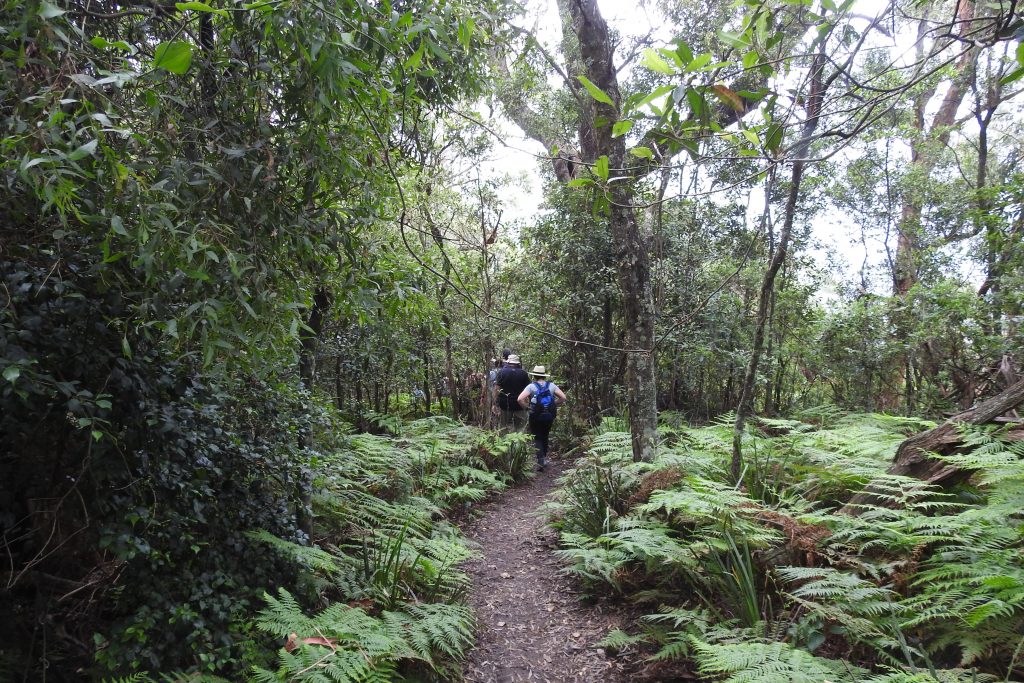
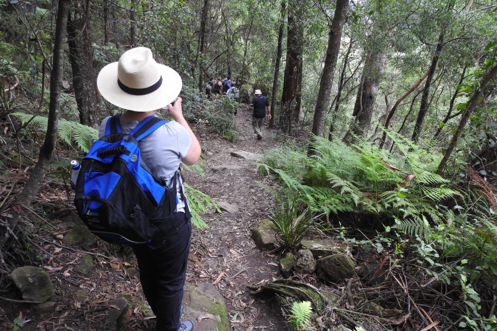
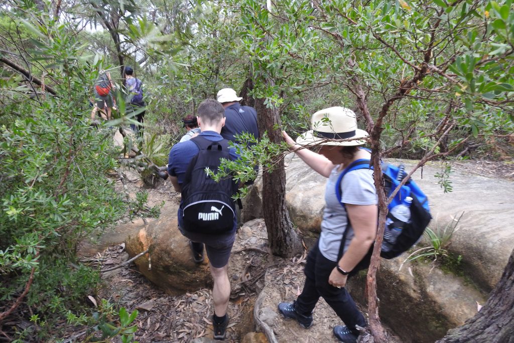
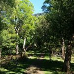
The trail starts you off past rich green farmland, take a good look around you as you can really enjoy these beautiful country views. The walk starts off reasonably steep as you need to get to the top of the plateau. The walk is interesting so take your time on the uneven ground and primitive steps as you ascend. The trail can be quite damp and muddy right from the start, so take your time to judge puddles and any slippery sections. Generally the soil/mud is quite sandy so not too slippery.
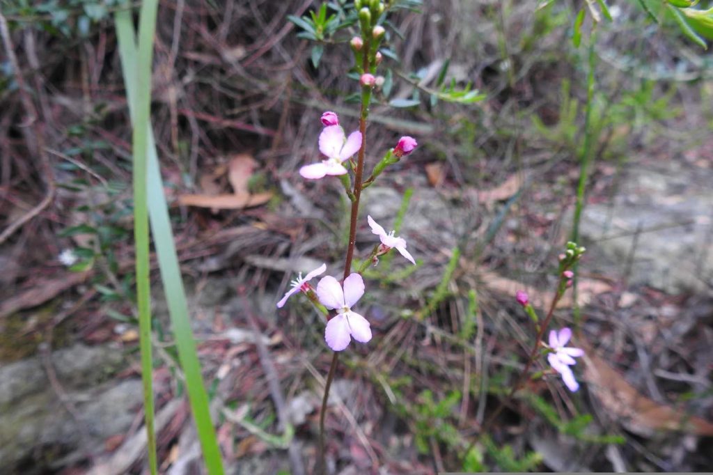
As you make the ascend, enjoy the beautiful fungi, orchids and the wonderful bird life around you. Even if you are not super fit, taking your time, you will be able to make this walk. Alternatively, the fitter might enjoy the challenge of a fast ascend to the destination – just be mindful and considerate of other walkers on the trail!
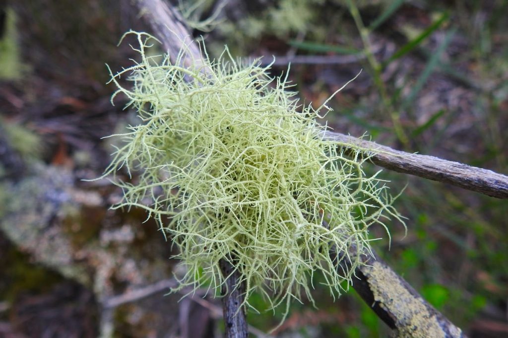
The continuation uphill starts to bring rewards; the forest starts to change, bringing in beautiful lush ferns, and you now also begin to get a close up view of the geology in the area. On your path, smaller sheer cliffs reveal artistic sculptures of cutout overhangs and colourful lichens.
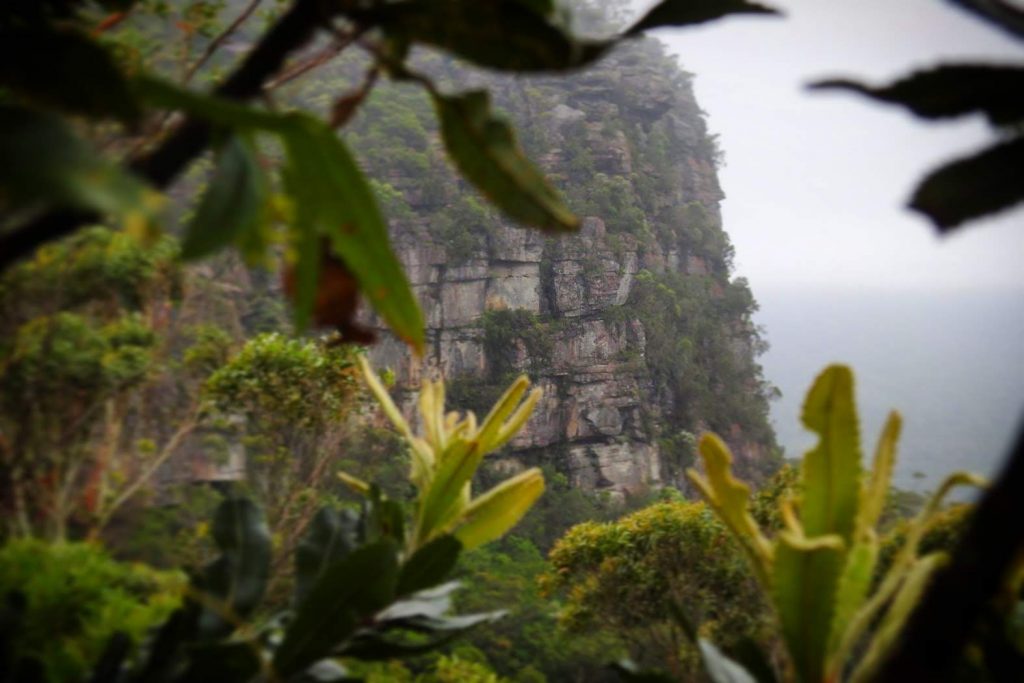
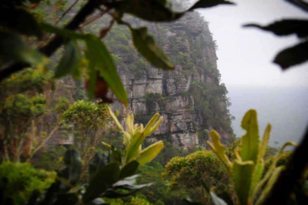
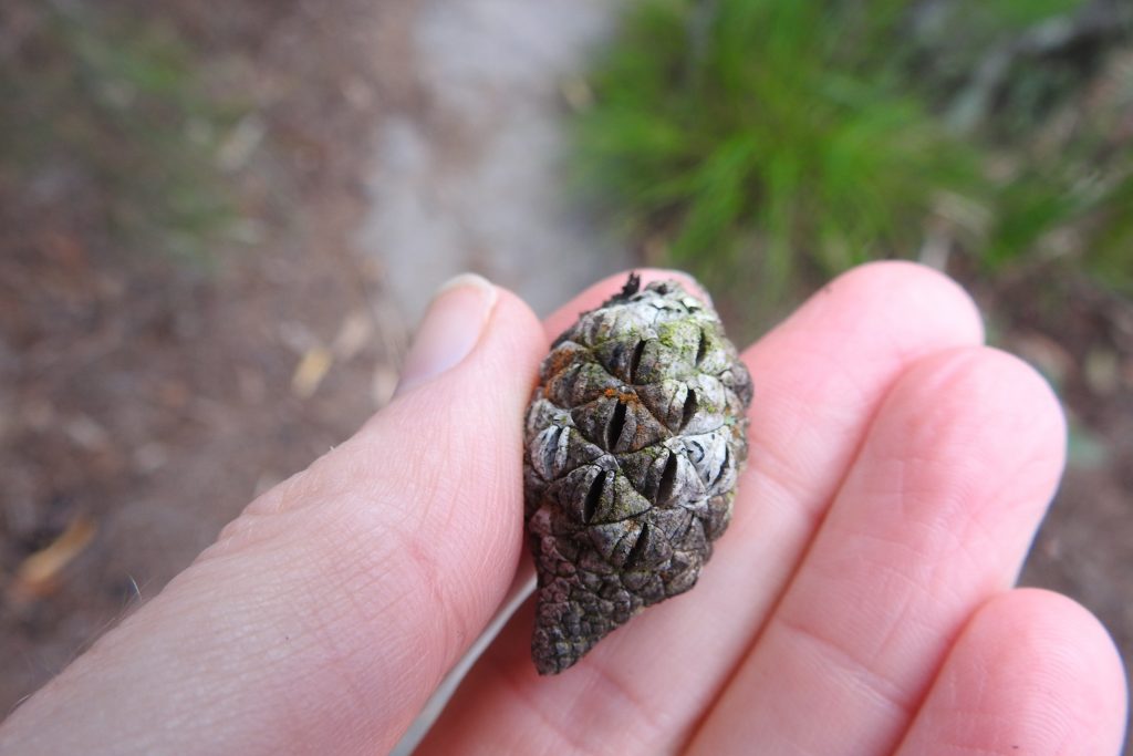
As the vegetation changes higher up to beautiful heath land Banksias, you reach closer to the top of the escarpment plateau and you will notice a few side trails that will provide some previews of the views to the coastline and the greater Kiama region. You can also look across to the Drawing Rooms rock site which is still a traverse away and slight uphill climb. Taking the time to enjoy these little spots really allows you to see the views from alternate angles and enjoy the trail in it’s entirety. Simply back track to the main trail and continue along.
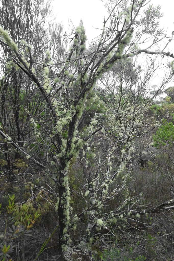
As you continue on you will reach the Tea Tree forest. In the right conditions, this forest is something straight out of a horror movie. Grey lifeless trees forming tunnels (are the branches closing in on me?!), puddles of brown tannin stained still water and echos of trickling water over rocks and root overhangs, tree roots reaching out all over the path (are they trying to grab my foot?!). Depending on what you like and your imagination, this is a really unusual and beautiful feature which brings such an unexpected contrast to the rainforest at the start of the walk.
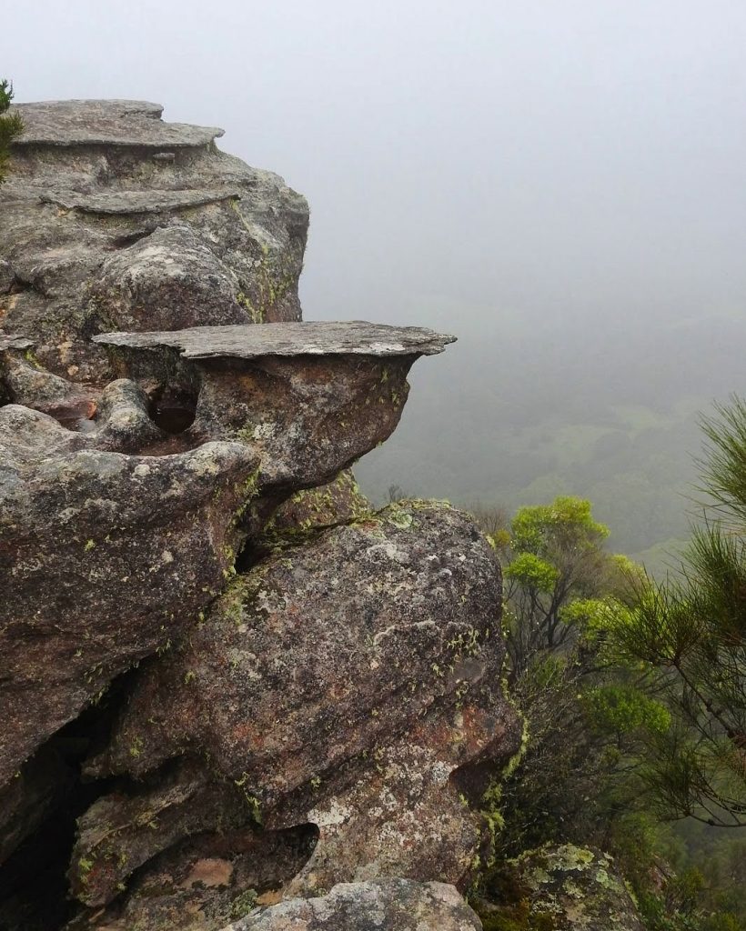
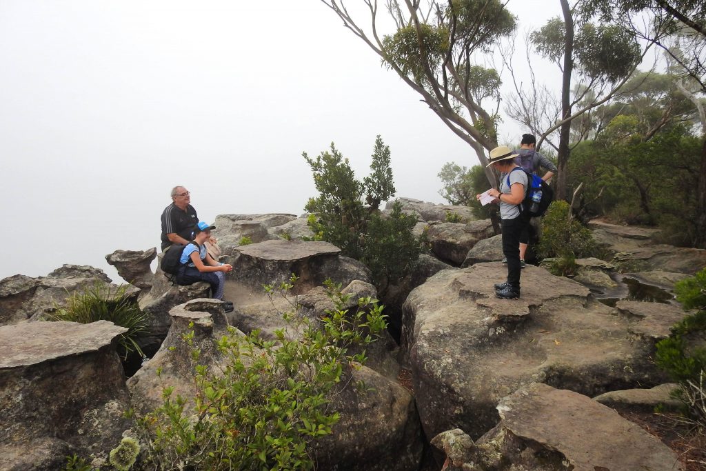
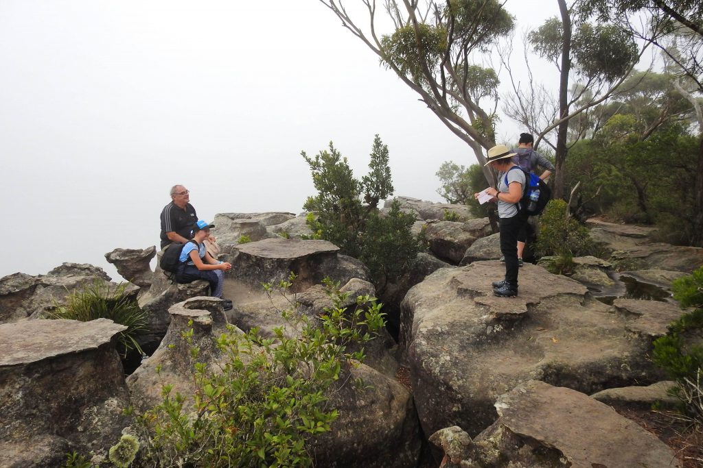
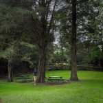
After you have navigated your pathway through the tea tree forest, it’s only a short distance to the famed Drawing Room Rocks. The unusual geology of the area formed by horizontal mineral-laden layers, eroding at a slower pace that the surrounding Hawkesbury Sandstone, carving out what looks like tables and chairs, reminiscent of the time-gone drawing room chairs and tables. At the very least, the early picnic days where school groups and churches used to enjoy their white linen spreads in their best Sunday clothes.
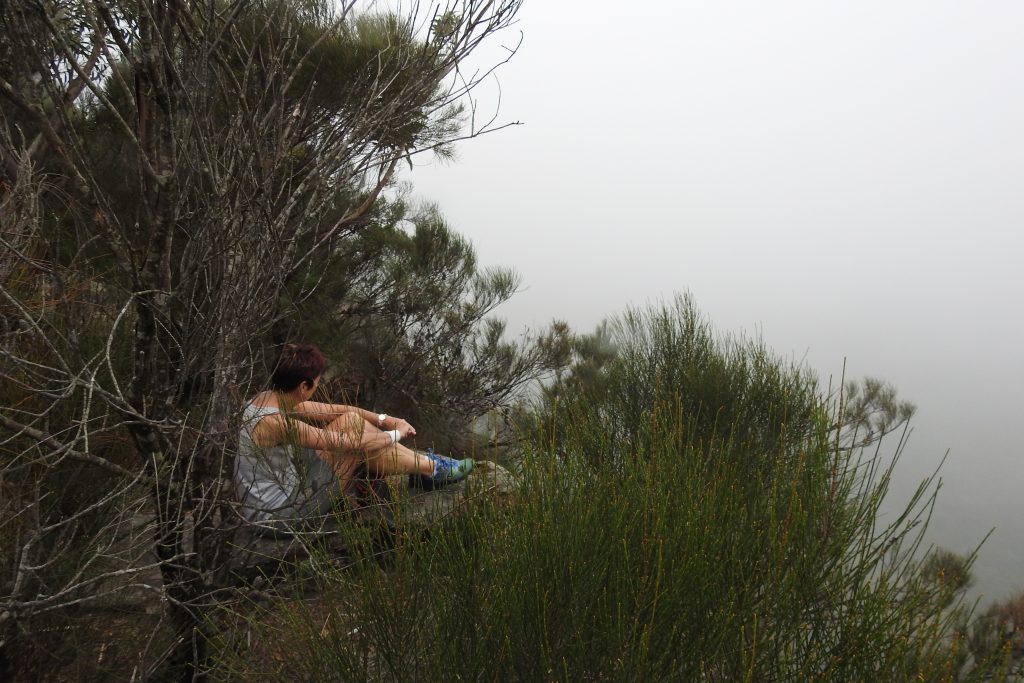
At the lookout point, there are no fences or specific viewing platforms so you can carefully enjoy lots of vantage points. When we say cliffs, we mean, the real deal. Sheer-face drop offs. There is no room for error here, and survival from a fall would be virtually impossible. Sudden and unexpected wind gusts are also to be expected. We all understand everyone wants the perfect instagram photo, but it doesn’t have to be at the risk of life – be safe, be cautious and watch out for your mates. To the sensible this place poses no excessive risks, so lets all just play it safe so we can all enjoy this place in it’s natural state.
Depending on the day and time, what you see at the lookout point could be anything! It will range from thick fog blocking any views (yep – that’s what we got!), to epic sunsets, sunrises and meteorologic wonders of fog formations over the surrounding precipices and valleys. Whatever you get on the day, it’s sure to be a magical sight and one that entices you to go back to see what other views can be had…
Once you drag yourself away from the view, simply walk out the same way you came and enjoy the nice meander downhill back to your car. Enjoy the opportunity to do some shopping and wandering in Berry after your walk or even make a weekend out of it.
Parking and Transport:
There is no public transport, car pooling is suggested. There is very limited street parking, please park sensibly.
Directions:
Watch out for Google Maps, it’s a little bit out of whack on the directions. Here are the directions to the start of the trail. Just head for Berry and it’s only one turn off from the main Queen Street.
Trail Advice:
This trail has steep sections. So people with knee issues or poor fitness will struggle. It is completely suitable for children that are used to walking however, the cliff sections are extremely dangerous with no room for error, they are sheer drops. Only take children that are responsible in taking direction in the bush. There is a high chance of leeches in this area after rain, so take adequate protection. Some areas are slippery underfoot with uneven ground, tree roots and mud so there is a risk of spraining ankles or falling, so take your time, check your footing before you put your weight down. In the warmer months, be cautious of snake danger on the open sections of the trail.
Only people with reasonable fitness should attempt this trail as it is steep, less fit people can attempt it at a slow, comfortable pace.
Signage and Track Condition:
This trail is easy to navigate with some stair installations and a clear pathway. Although not in the best state, the trail is very easy to follow. Signage is minimal.
It is very important that individuals do their best to stay on the main trail to avoid erosion and damage to the delicate environment. This is not too difficult and is critical to the ongoing integrity and future access of the trail.
Data & Cellular Coverage:
Phone coverage is fairly low and shouldn’t be relied upon. Always carry a basic first aid kit in case of an emergency.
Demographic:
This track is ideal for birdwatchers, photographers or people looking to increase their fitness. Fast becoming a popular walk, with every reason, it’s worthwhile adding it to your bushwalking bucket list for it’s magnificent views and easily accessible location. If you can go mid-week to avoid any crowds it is ideal.
Fitness:
Want to know where you are going to hurt the next day? Depending on how fast you are intending to walk, expect a reasonable workout. As there are steep sections, your legs and glutes are going to get a good workout.
Hiking Grade: Grade 3
Short but steep. You will need to be reasonably fit to do this walk, if you don’t currently do regular exercise, this is not your trail.
Distance and Time:
The track is a round trip being roughly a 4.5km walk. Time it takes is dependent on your fitness level, the average walker would possibly take about two hours.
Pollution/Rubbish Status: Grade 1
This trail is pretty good for rubbish, not much around.
Please ensure you take a garbage bag to collect rubbish, and don’t forget to take a photo of your collection and tag us in #bushwalkthegong #cleanupgongsbushland – let’s spread the word that littering in or around our bushland areas is NOT OK!
Prohibited:
All dogs (except for assistance dogs), bikes, fires, camping, smoking and alcohol.
References and Resources:
http://www.aussiesapphire.com/ALF_Storage/Field%20Geology%20of%20the%20Shoalhaven%20District%20John%20Paix%201970.pdf
http://www.geomaps.com.au/scripts/drawingroomrocks.php

Pingback: {Local Lush Lockdown nature walks} – #bushwalkthegong
Pingback: {Local Lush Lockdown nature walks} – #bushwalkthegong