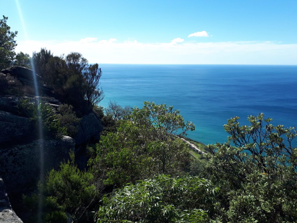
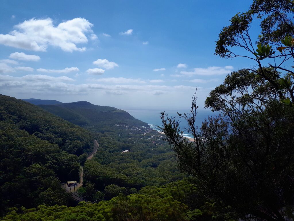
This longer version of the Wodi Wodi track will put your fitness and stamina to the test as you meander through forest, creek beds and rainforest then joining into the Forest Trail to ponder your eyes across epic views of the Northern Illawarra Coastline.
This trail was named after the Wodi Wodi people, a sub-group of the Dharawal Nation and the original Aboriginal inhabitants of the Illawarra region which are believed to have come to the area 40,000 years ago. The general area around the Wodi Wodi trail is also home to precious Aboriginal history and remnants from a time now past. (See reference) It’s very humbling to travel through this path and consider the ghosts of those who may have trodden this trail thousands of years before us.
This trail is steep and long with limited signage. It is not suitable for beginners, first time walkers, or those with low fitness. Safety precautions should be taken before setting out or consider joining a group with an experienced leader.
This walk is part of a suite of walks in the Stanwell Park area in the Illawarra Escarpment State Conservation Area. The walk track head is clearly signed but signage is sporadic and generally poor throughout the rest of the trail.
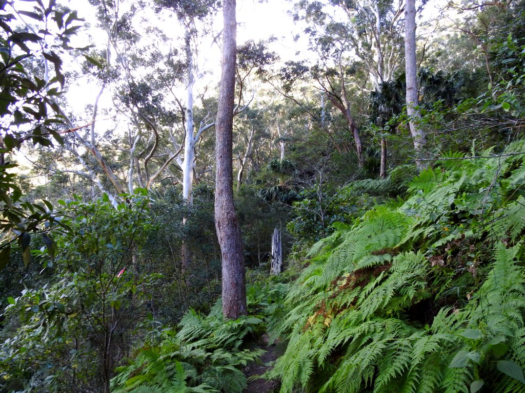
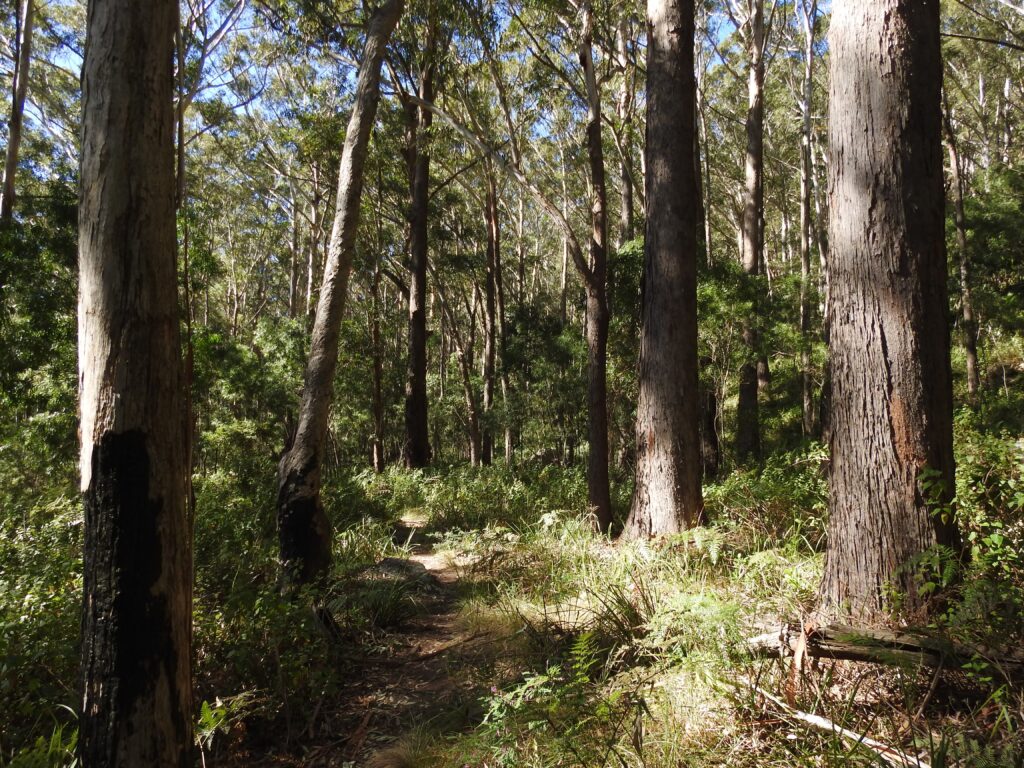
The trail starts at the Stanwell Park Railway station, simply pass under the tracks through the brightly painted tunnel and start walking straight off the platform! You pass over a fallen tree as you continue and start your ascent immediately as you meander through gorgeous Gymea lilies, ferns and eucalypts. You will reach some signage for a side trail here too, the Goat Track which take you to Stanwell Tops and the function centre, but for this walk, continue ahead.
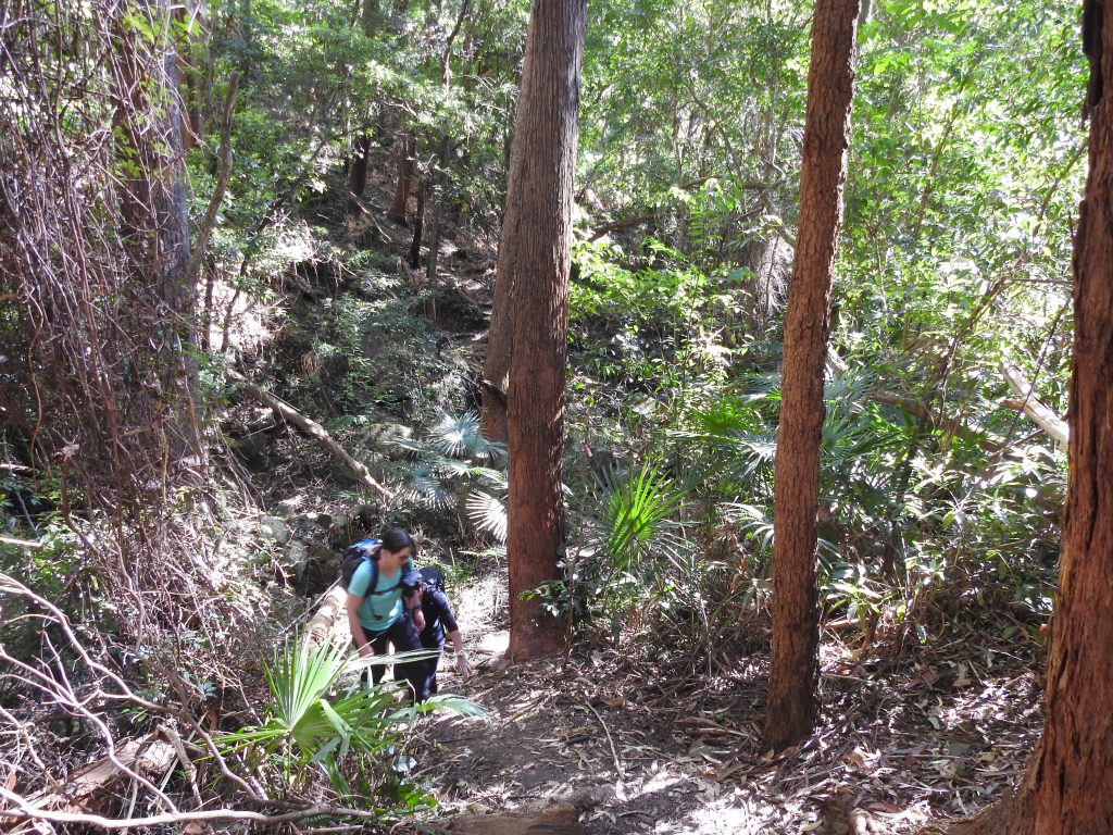
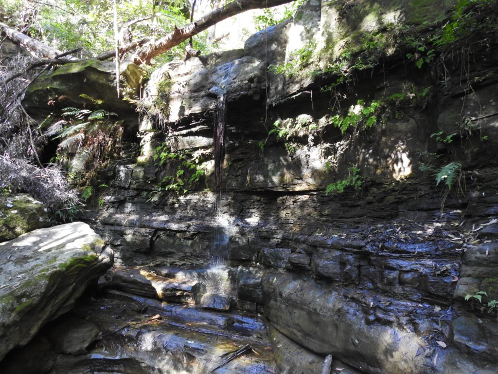
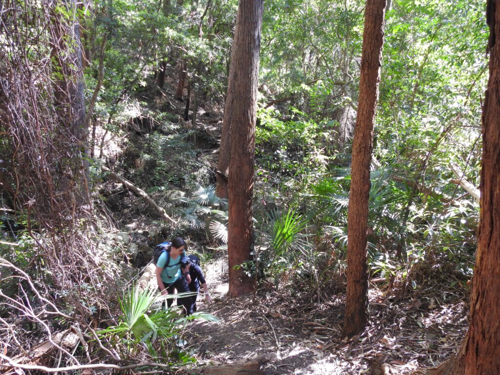
The path gradually becomes rougher and rougher as you cross side tributaries of Stanwell Creek and start the descent down to the main creek. Depending on the recent rainfall the path can be very muddy and slippery, so take care. Even in dry times, the dry leaf litter slides underfoot, so take it easy.
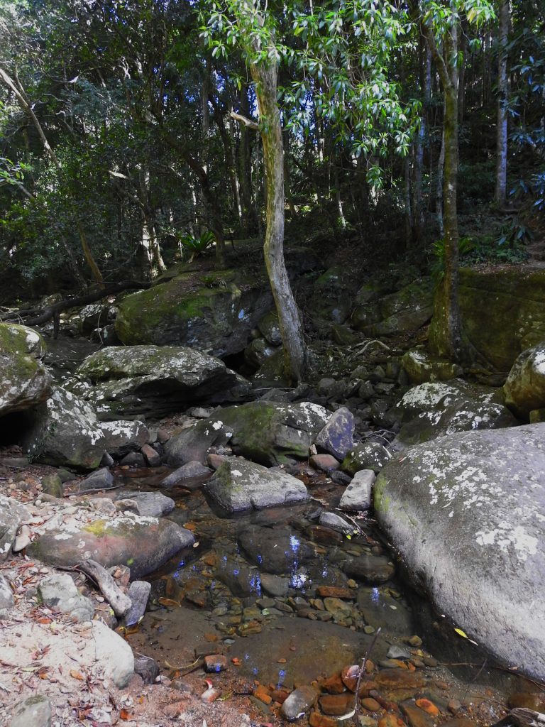
Once you have made the descent down the valley you reach the beautiful Stanwell Creek. This is a nice place to rest, have a snack and ponder the next part of your journey, which you might have guessed – is uphill! It’s a good decision to stretch here too. There are plenty of water dragons and a good spot to splash your face in the freshwater. It gets a little tricky from here on where to go next, you need to cross the creek and continue up the escarpment in a South-East direction, slightly to the left of where you crossed the creek. You should make out a pathway heading straight up. There are remnant and active stairs along the way, be cautious of star pickets and reinforcement steel, a lot of the old stairs are in a very bad way and are more hazardous than no stairs with steel sticking out of the ground…ouch!
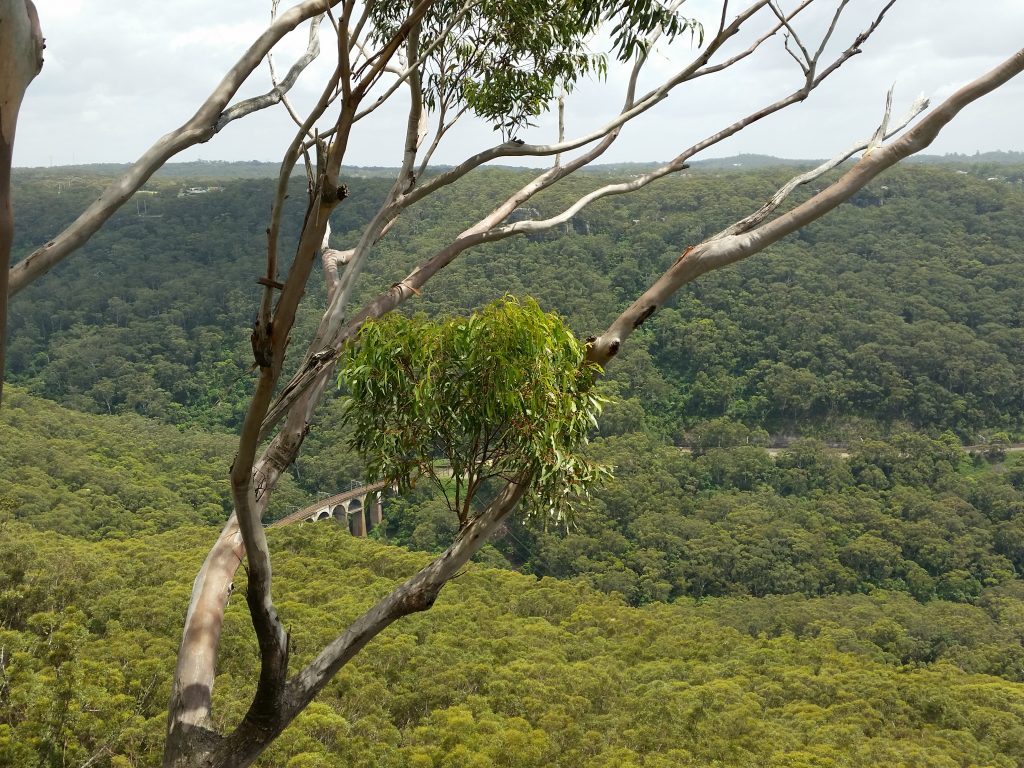
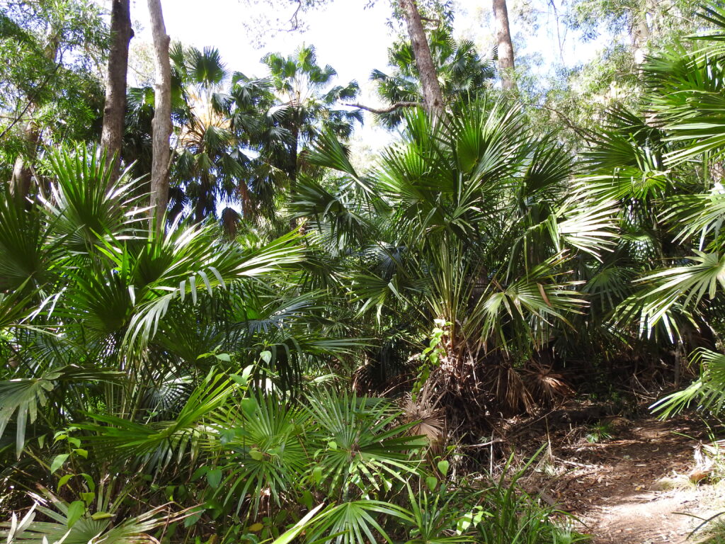
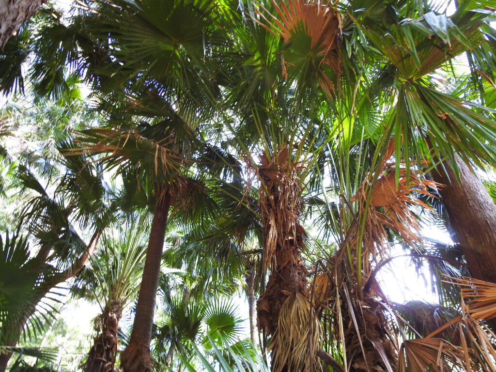
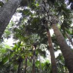
Continuing uphill, you wander through luscious Cabbage Tree palm forests, take your time through here, it’s such a unique spot, look up and really take it all in. Keep your eye out for markers on trees as you go as you continue heading East and up the escarpment. You are following the train line here and you might catch a glimpse or hear one go by. Keep an eye out for the view to the Viaduct also, built in 1920 it’s an impressive feature on the escarpment which continues to carry the trains to their destination…
Continuing along through some side tributary creeks, the path is pretty rough here, so just take the easiest path to the other side of the creek depending on the water levels. Once you get across the final creek, you will notice a distinct wide flat path that heads around the side of the hill to the left. This is not the path you want to take, you want to continue up the hill slightly to the right to join the Bullock Track to the Forest Walk. There are some old remnant wooden stairs so you know you are on the right path.
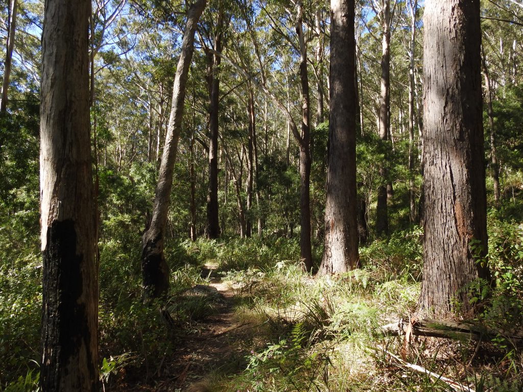
Continuing the pathway you will enter a large open forest which is especially beautiful in the morning light. You will also come to some large signage. At the signpost you want to turn uphill to the right and continue to the Forest Walk (no it’s not 6km to your destination – that’s to Madden’s Plains!)
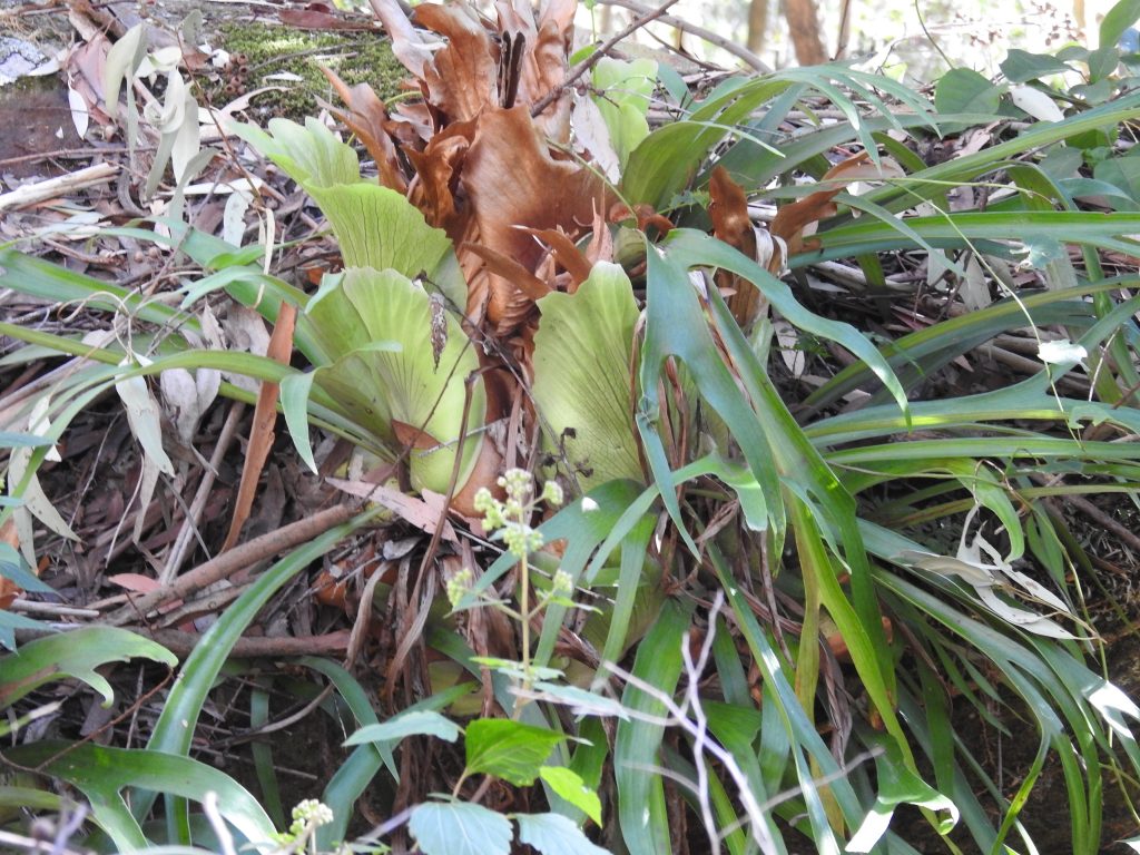
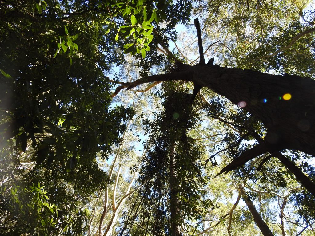
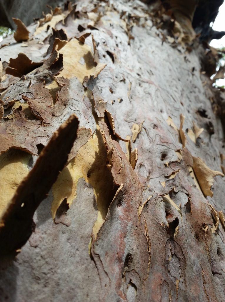
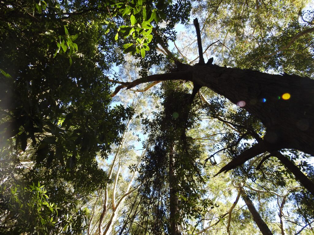
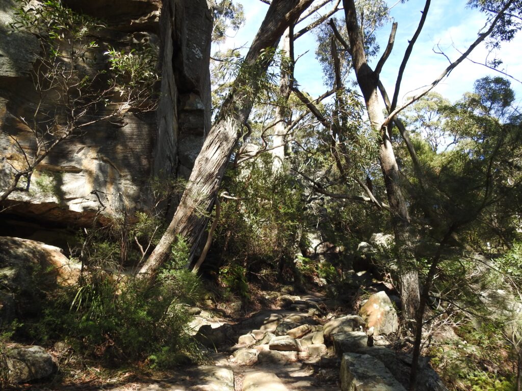
Continue uphill on this historical pathway which is steep to the top of the escarpment. The first settlers once used this pathway and up top there are some distinct sandstone blocks from those days. There are wooden stairs to the top and is relatively pleasant to walk through. Take note of the Elkhorns and other interesting plants and wildlife and some sneaky views to the top of the escarpment – yes, you’re nearly there! Closer to the top you pass under an interesting tree, and enjoy the natural cave formations under the cliff line. Follow the trail around to the top and continue to the left. The forest has changed now, and you will notice the giant Gymea lilies and purple hued Angophoras in the sandier soils.
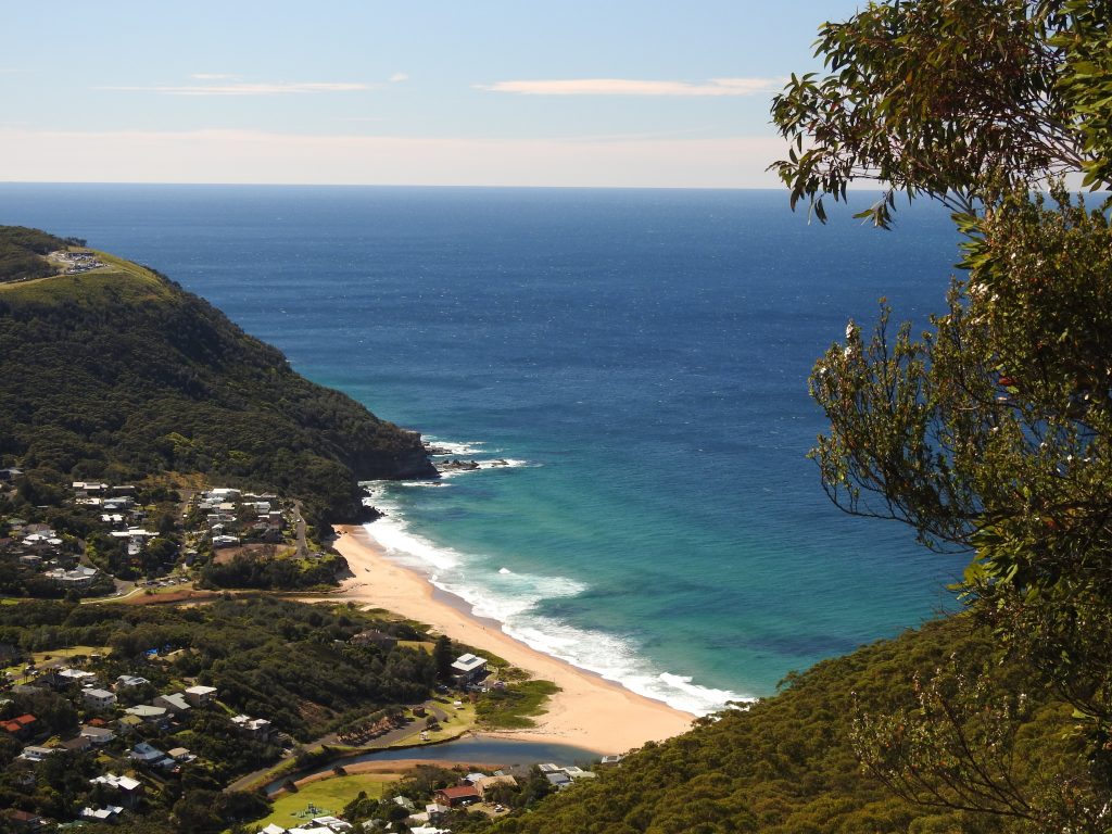
Continue following the cliff line heading East, and feel free to stop off at any of the exposed cliffs revealing the beautiful views of Stanwell Park. Mount Mitchell has a distinctive large rock platform and on a clear day you can easily see Sydney Tower. Take a well earned rest and know your next amazing view is a 5min flat walk around the corner. To get to the Coalcliff viewing platform, continue along the same pathway through the Gymea Lily’s, you will see a distinct path to the left that takes you to the platform. Now, have a really good rest and breath in that view!
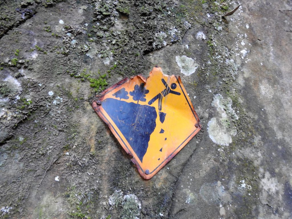
Once you have taken in all the sights, taken your photos and rehydrated, prepare yourself for the walk back. All you do now is “simply” retrace your steps back to the Railway Station, keep your eye out for markers and there is a small sign on a large boulder that helps you get on the right path when you cross the main creek crossing at Stanwell Creek. Take your time and ensure you are definitely back on the same trail again. If you are unsure return to the creek and have another go just to be sure. People have been lost on this trail, so it’s important to be sensible and be familiar with the directions and path. Take a map if you can.
Parking and Transport:
This is a fabulous walk for Public Transport – the trail starts at Stanwell Park Railway Station. There is also ample car parking.
Directions:
Trail Advice:
This trail has steep sections on the way in and out. So people with knee issues or poor fitness will struggle immensely. It is completely suitable for older children, naturally with a close eye. This trail has a few creek beds, which means you have a high water hazard. Ensure safety at all times. There is a high chance of leeches in this area being a typical wet forest, so take adequate protection. The rocks can also be very slippery around the creek and there is a risk of spraining ankles or falling, so take your time, check your footing before you put your weight down. In the warmer months, be cautious of snake danger on the open sections of the trail.
Wear your old sneakers on this walk, there is a chance you will get them wet or muddy.
Signage and Track Condition:
The signage is sporadic, however the trail is generally quite clear. You will see the occasional tree marker and NPWS signposts. People often lose their way at the creek crossings. Take your time and be sure you are on the trail before you venture off. Look behind you also for indications of the trail and signage to be sure you are on the right path. Study the map prior to get a general sense of direction of where you are heading.
It is very important that individuals do their best to stay on the main trail to avoid erosion and damage to the environment – or getting lost.
Data & Cellular Coverage:
There is limited coverage on this walk, it is critical you study the map prior and pay attention to the direction you are walking to stay on trail. Always carry a basic first aid kit in case of an emergency and ensure people know where you are before you head out.
Demographic:
This track is great fun for older families and all ages, there is plenty of interest along the way for those that are agile. It is steep in a lot of sections, and you will be on the ground scrambling in some sections. This trail is for moderate fitness and above only, it is also only suited to experienced and confident bushwalkers.
Fitness:
Want to know where you are going to hurt the next day? This track will use your quads and glutes mostly as it is steep. In general, it’s a long, steep walk only suited to those with moderate fitness. The steep embankments can be daunting and you can easily slide. Reasonable fitness is highly recommended to get the most out of the walk.
Hiking Grade: Grade 4-5
This is a long walk, with limited signage and is steep. To really enjoy this walk, it should be only tackled by people that are confident with general navigation, fit and who are agile for the steep sections.
Distance and Time:
The track is a round trip being roughly a 4hr walk including breaks. Distance is approximately 6km return.
Pollution/Rubbish Status: Grade 2
Generally this trail is pretty clean, if you see litter take it out with you. Around the train station it can be a bit messy.
Please ensure you take a garbage bag to collect rubbish, and don’t forget to take a photo of your collection and tag us in #bushwalkthegong – let’s spread the word that littering in or around our bushland areas is NOT OK!
Prohibited:
All dogs (except for assistance dogs), bikes and smoking – and especially alcohol. No camping or fires.
References:
Murni Dhungang Jirrar Living in the Illawarra, WESSON, Sue. http://www.environment.nsw.gov.au/resources/cultureheritage/illawarraAboriginalResourceUseIntroduction.pdf

What a well thought out post, it has all the information, beautiful pictures too.
Wodi Wodi has a nice musical ring to it!