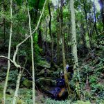
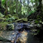
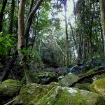
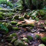
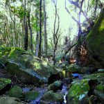
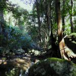
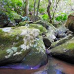
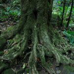
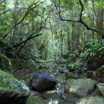
A magical oasis of luscious green rocks, trickling streams and a dark mossy canopy of trees blanketed by maidenhair ferns and tiny mushrooms underfoot.
This trail is sensitive. As there is no distinct trail it is important to respect the mosses, small shrubs and environment. It’s not the place to scratch off moss, trample small shrubs nor leave cairns/rock sculptures. This is a unique and raw trail which is the attraction here. Don’t ruin it, or let your mates ruin it. Let’s enhance it by taking away any rubbish and keep it a sanctuary for the next person.
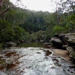
This walk follows the Upper reaches of Byarong Creek which is an extensive creek system between Mt Kembla and Mt Keira. This walk takes on a higher section which is not overly steep but throw in some big boulders and large rocks and you can get the heart racing pretty quickly. The type of bush is fairly consistent, but so beautiful and unique around every corner, there is plenty to explore.
The best starting point is at the intersection with the Ring Trail, from there you simply turn down stream, you will come to a t-intersection in a beautiful amphitheatre and small waterfall. Head right to continue downstream. The trail continues through an unreal landscape of thick carpeted mossy rocks, flocks of haunting birds high overhead and the challenge of navigating your pathway.
The trail ends once you reach the bridge which is the Girl Guide Camp. Simply turn around and head back to your starting point. Don’t forget the turnoff at the waterfall to get you back to your starting point!
Parking and Transport:
There is no designated parking areas, the closest parking is at Byarong Park, or the top of Mt Keira Road. Following the Ring Trail will take you to the location of the start of the walk.
[googlemaps https://www.google.com/maps/d/u/0/embed?mid=1LlSXq9u3VG4EzvY1VyR3Z9ocX0U&w=640&h=480]
Trail Advice:
This trail is a creek bed, which means you have a high water hazard. There is significant damage and natural debris from previous heavy rains such as branches, so it is critical to avoid this area in times of high rainfall, a stream can quickly turn to a rapid. Ensure safety at all times. There is a high chance of leeches in this area being a typical wet forest, so ensure you take adequate protection. The rocks also very slippery and there is a risk of spraining ankles or failing, so take your time, check your footing before you put your weight down.
Signage and Track Condition:
There is no signage or tracks on this walk, you will require a general sense of direction.
Data & Cellular Coverage:
Google Maps works generally well on most of this walk, however, not overly accurate. It will give you a general indication of your location and the direction you are travelling. There is cellular coverage for most of the walk.
Demographic:
This track is great fun for families, in particular it will keep the tweenies and teens occupied with the rock hopping and yabbie catching (don’t forget to put them back!). It’s going to be really hard work for the younger kids and potentially the older generation or anyone that might be suffering some wear and tear on their hips, knees or ankles.
Fitness:
Want to know where you are going to hurt the next day? This track is a full body workout. In particular expect to work your; glutes, hip flexors/groin muscles, quads, lats and forearms. You will be on your hands and knees crawling in places and jumping between rocks. You will need to use your balance, flexibility and cardio fitness when you navigate between rocks, crevices and boulders. Some good stretching a few days prior to increase your flexibility will really assist.
Hiking Grade: Grade 4
Although a short walk, this grades at a 4 due to the lack of distinct trail and extremely rocky terrain.
Distance and Time:
The track is a round trip being roughly a 3hr-4hr walk (excluding getting to the start from the carpark). Distance is approximately 2.2km return with an elevation gain of 152m.
Pollution/Rubbish Status: Grade 4
This creek collects run off directly from Mt Keira Road, which is bad news unfortunately. The creek is intermittently littered with debris including bottles and plastics. There is also some minor commercial rubbish including ceramic telephone pole insulators and rusted pipes.
I’ve graded this a 4 as it is not a maintained trail, so after heavy rains expect some additional rubbish. Everyone can assist here by helping to maintain the trail.
Please ensure you take a garbage bag to collect rubbish, we suggest collect on the way out and don’t forget to take a photo of your collection and tag us in #bushwalkthegong #cleanupgongsbushland – let’s spread the word that littering in or around our bushland areas is NOT OK!
Prohibited:
All dogs (except for assistance dogs), bikes and smoking – and alcohol.

